geo.wikisort.org - Mountains
Mount Antero /ænˈtɛəroʊ/ is the highest summit of the southern Sawatch Range of the Rocky Mountains of North America. The prominent 14,276-foot (4351.4 m) fourteener is located in San Isabel National Forest, 12.2 miles (19.6 km) southwest by south (bearing 208°) of the Town of Buena Vista in Chaffee County, Colorado, United States.[1][4][2][3] The mountain is named in honor of Chief Antero of the Uintah band of the Ute people.[5]
| Mount Antero | |
|---|---|
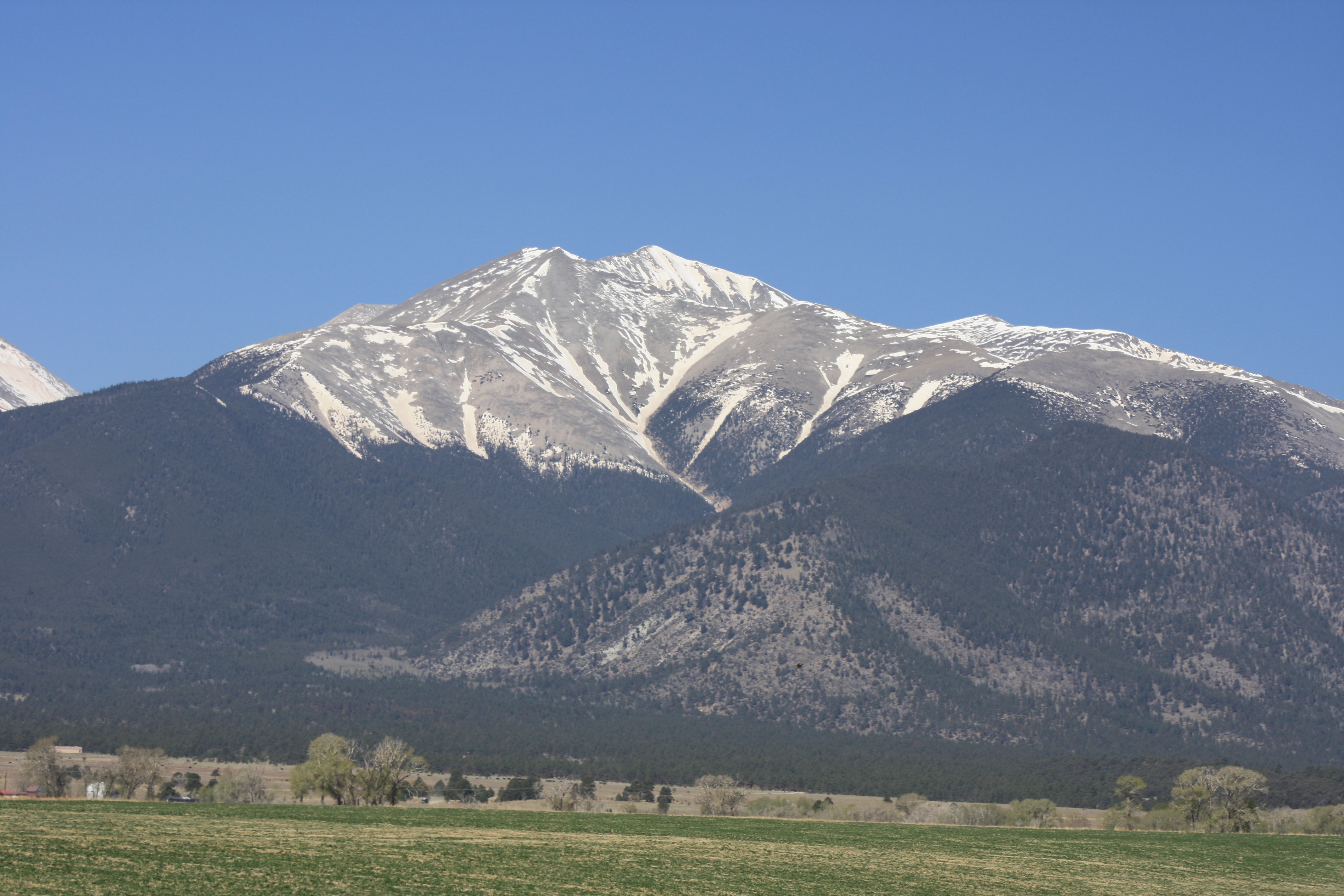 Mt. Antero seen from U.S. 285. | |
| Highest point | |
| Elevation | 14,276 ft (4351.4 m)[1] NAVD88 |
| Prominence | 2503 ft (763 m)[2] |
| Isolation | 17.67 mi (28.4 km)[2] |
| Listing | |
| Coordinates | 38°40′27″N 106°14′46″W[1] |
| Geography | |
 Mount Antero Colorado | |
| Location | Chaffee County, Colorado, U.S.[3] |
| Parent range | Sawatch Range[2] |
| Topo map |
|
| Climbing | |
| Easiest route | Hike |
Mountain
Mount Antero is prized for its gemstone deposits and has one of the highest concentrations of aquamarine in the country. There are several active private mining claims being exploited on Mount Antero and surrounding peaks.
The peak is located due south of the more visually prominent Mount Princeton. Mount Antero is one of the most prominent peaks of the Sawatch Range, rising an impressive 7,200 feet above the town of Salida, Colorado to the southeast. There are two popular climbing routes on Mount Antero. The generally accepted hiking route is from the east starting at the Browns Creek Trailhead and paralleling Little Browns Creek to its upper reaches where it crosses Forest Road 1A, then following the road near to the summit. The other route, which begins near the ghost town of St. Elmo, follows the same forest road from the north up Baldwin Creek. This route has heavy mining and tourist traffic in fair weather during the summer months.
The peak was surveyed by the Pike Expedition in 1806. A forest service sign at the Browns Creek trailhead commemorates the expedition camp at the eastern base of the peak.
On July 20, 2018, 5-time World mountain running Champion Joseph Gray ran the fastest known time (FKT) up Mount Antero from the bottom of FS road 277 to the top of Mount Antero in 1:23:10.[6]
Historical names

- Antero Peak
- Mount Antero[3]
See also
References
- "MT ANTERO". NGS data sheet. U.S. National Geodetic Survey. Retrieved January 2, 2016.
- "Mount Antero, Colorado". Peakbagger.com. Retrieved January 2, 2016.
- "Mount Antero". Geographic Names Information System. United States Geological Survey. Retrieved October 20, 2014.
- The elevation of Mount Antero includes an adjustment of +2.071 m (+6.79 ft) from NGVD 29 to NAVD 88.
- Dawson, John Frank (1954). Place names in Colorado: why 700 communities were so named, 150 of Spanish or Indian origin. Denver, CO: The J. Frank Dawson Publishing Co. p. 6.
- "Mt Antero (CO) | Fastest Known Time".
- San Isabel National Forest Map, United States Department of Agriculture, Forest Service (2003)
External links
- Mount Antero at 14ers.com
- Mount Antero at Colorado Fourteeners Initiative[permanent dead link]
- Mount Antero at Distantpeak.com
- Mount Antero at ListsofJohn.com
- Mount Antero at Peakbagger.com
- Mount Antero at Peakery.com
- Mount Antero at USDA Forest Service
- Various Photos of Mt. Antero
- Video of Mount Antero
|
|
Denver (capital) | ||
| Topics |
|  |
| Society |
| |
| Cities |
| |
| Counties |
| |
| Regions |
| |
На других языках
- [en] Mount Antero
[fr] Mont Antero
Le mont Antero, en anglais Mount Antero, est un sommet montagneux américain dans le comté de Chaffee, au Colorado. Il culmine à 4 349 mètres d'altitude dans la chaîne Sawatch. Il est protégé au sein de la forêt nationale de San Isabel.Другой контент может иметь иную лицензию. Перед использованием материалов сайта WikiSort.org внимательно изучите правила лицензирования конкретных элементов наполнения сайта.
WikiSort.org - проект по пересортировке и дополнению контента Википедии