geo.wikisort.org - Mountains
Mount Democrat is a high mountain summit in the Mosquito Range of the Rocky Mountains of North America. The 14,155-foot (4,314 m) fourteener is located 5.4 miles (8.7 km) northwest (bearing 313°) of the Town of Alma, Colorado, United States, on the Continental Divide separating San Isabel National Forest and Lake County from Pike National Forest and Park County.[1][2][3][4]
| Mount Democrat | |
|---|---|
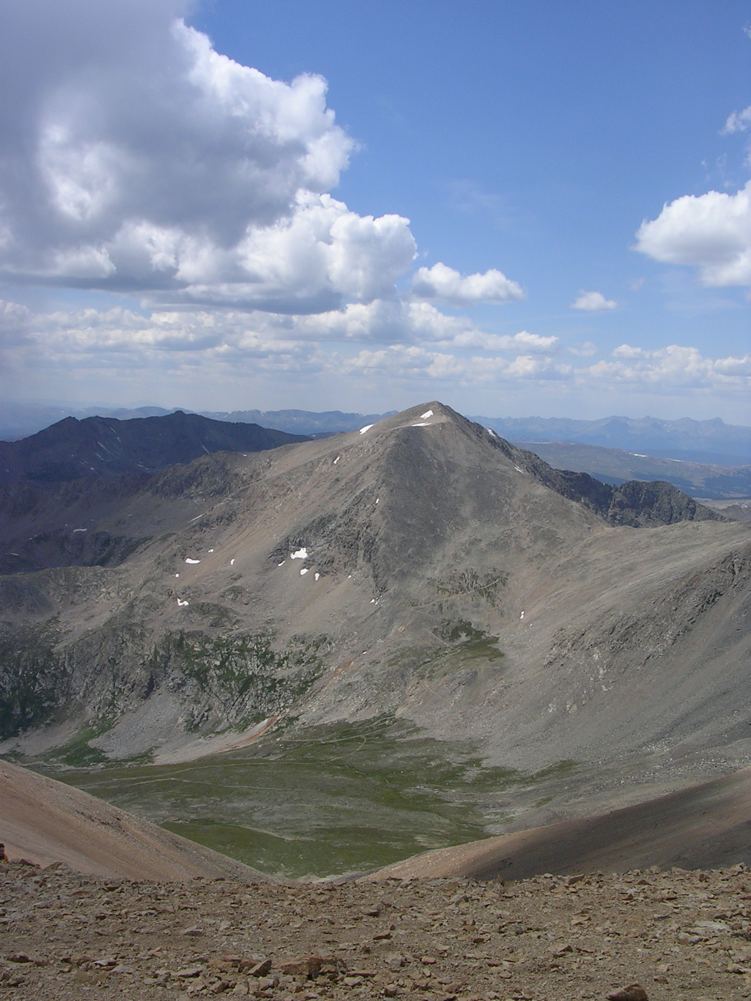 Mount Democrat as seen from Mount Bross | |
| Highest point | |
| Elevation | 14,155 ft (4,314 m)[1][2] |
| Prominence | 768 ft (234 m)[3] |
| Parent peak | Mount Cameron |
| Isolation | 1.27 mi (2.04 km)[3] |
| Listing | Colorado Fourteener 28th |
| Coordinates | 39°20′23″N 106°08′24″W[1] |
| Geography | |
 Mount Democrat Colorado | |
| Location | Lake and Park counties, Colorado, U.S.[4] |
| Parent range | Mosquito Range[3] |
| Topo map | USGS 7.5' topographic map Climax, Colorado[1] |
| Climbing | |
| Easiest route | Hike |
Mountain
Mount Democrat is often climbed together with Mount Lincoln and nearby Mount Bross.[5] For more information on this group of peaks, including access issues, see Mount Lincoln.
Historical names
- Republic Mountain
- Mount Buckskin
- Mount Democrat [4]
See also
References
- "MT DEMOCRAT ET". NGS data sheet. U.S. National Geodetic Survey. Retrieved October 20, 2014.
- The elevation of Mount Democrat includes an adjustment of +2.086 m (+6.84 ft) from NGVD 29 to NAVD 88.
- "Mount Democrat, Colorado". Peakbagger.com. Retrieved October 20, 2014.
- "Mount Democrat". Geographic Names Information System. United States Geological Survey. Retrieved October 29, 2014.
- Louis W. Dawson II (1994). Dawson's Guide to Colorado's Fourteeners, Volume 1. Blue Clover Press. ISBN 0-9628867-1-8.
External links
Mount Democrat at Wikipedia's sister projects
 Definitions from Wiktionary
 Media from Commons
 News from Wikinews
 Quotations from Wikiquote
 Texts from Wikisource
 Textbooks from Wikibooks
 Resources from Wikiversity
|
Denver (capital) | ||
| Topics |
|  |
| Society |
| |
| Cities |
| |
| Counties |
| |
| Regions |
| |
This Colorado state location article is a stub. You can help Wikipedia by expanding it. |
На других языках
- [en] Mount Democrat
[fr] Mont Democrat
Le mont Democrat, en anglais Mount Democrat, est un sommet montagneux américain dans les comtés de Lake et de Park, au Colorado. Il culmine à 4 312 mètres d'altitude dans le chaînon Mosquito. Il est protégé au sein de la forêt nationale de Pike et de la forêt nationale de San Isabel.[ru] Демократ (гора)
Де́мократ (англ. Mount Democrat) — горная вершина в составе хребта Москито[en], находится на территории округов Лейк и Парк, штат Колорадо, США.Текст в блоке "Читать" взят с сайта "Википедия" и доступен по лицензии Creative Commons Attribution-ShareAlike; в отдельных случаях могут действовать дополнительные условия.
Другой контент может иметь иную лицензию. Перед использованием материалов сайта WikiSort.org внимательно изучите правила лицензирования конкретных элементов наполнения сайта.
Другой контент может иметь иную лицензию. Перед использованием материалов сайта WikiSort.org внимательно изучите правила лицензирования конкретных элементов наполнения сайта.
2019-2026
WikiSort.org - проект по пересортировке и дополнению контента Википедии
WikiSort.org - проект по пересортировке и дополнению контента Википедии