geo.wikisort.org - Mountains
Pyramid Peak is a fourteen-thousand-foot mountain in the U.S. state of Colorado. It is the 47th highest mountain peak in Colorado, and 78th highest peak in the United States. It is located in the Elk Mountains in southeastern Pitkin County, approximately 12 miles (19 km) southwest of Aspen. The summit somewhat resembles a ragged square pyramid and is visible from the Roaring Fork River valley north of Aspen along the canyon of Maroon Creek.
| Pyramid Peak | |
|---|---|
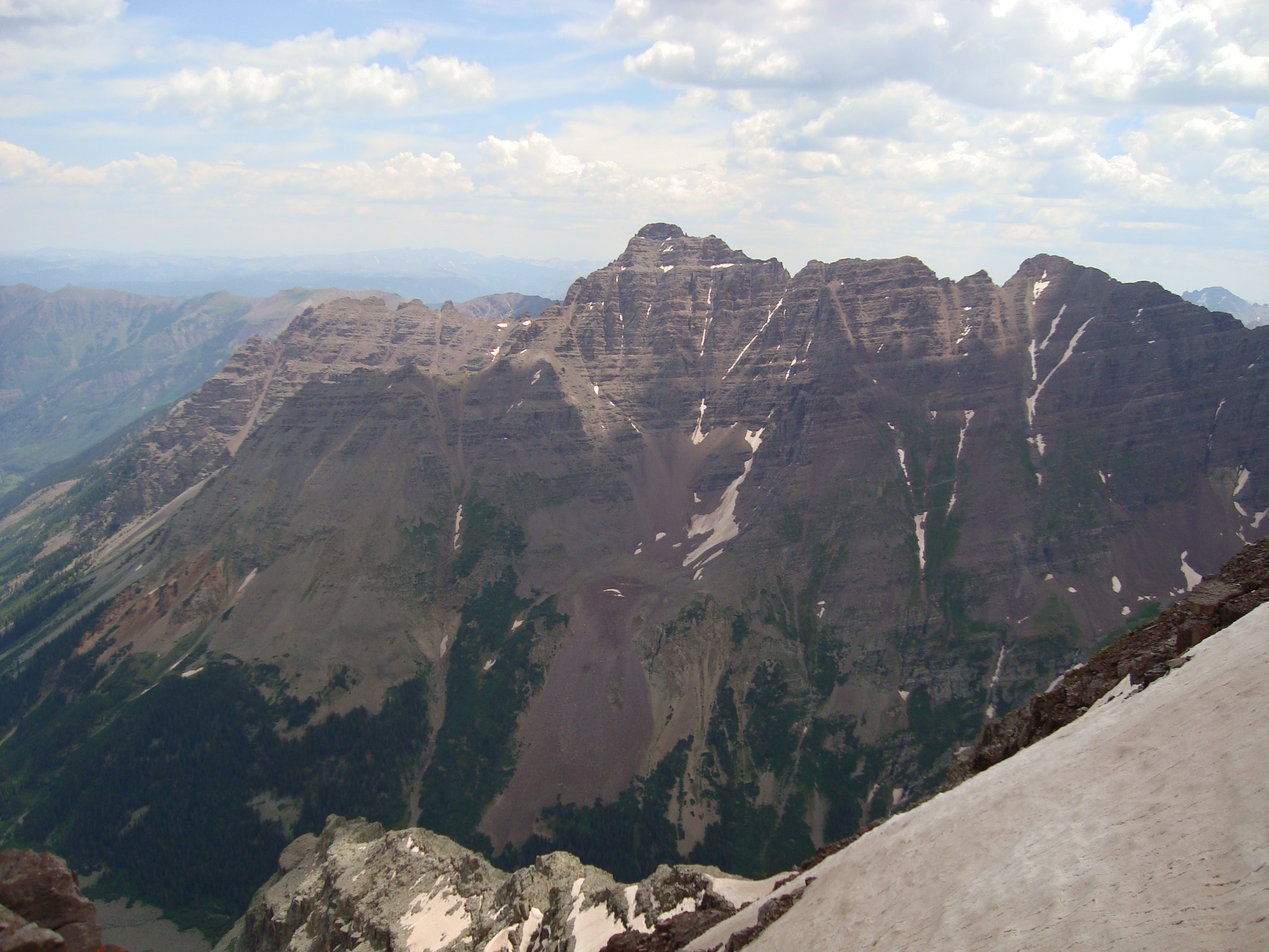 Pyramid Peak as seen from Maroon Peak in 2009 | |
| Highest point | |
| Elevation | 14,025 ft (4,275 m)[1][2] |
| Prominence | 1,638 ft (499 m)[3] |
| Parent peak | Maroon Peak |
| Isolation | 2.09 mi (3.36 km)[3] |
| Listing | Colorado Fourteener 47th |
| Coordinates | 39°04′18″N 106°57′01″W[1] |
| Geography | |
 Pyramid Peak | |
| Location | Pitkin County, Colorado, U.S[4] |
| Parent range | Elk Mountains[3] |
| Topo map | USGS 7.5' topographic map Maroon Bells, Colorado |
| Climbing | |
| First ascent | 1909 by Percy Hagerman and Harold Clark |
| Easiest route | Exposed scramble, class 4 |
Like many of the peaks in the Elks, Pyramid Peak is quite steep, especially compared to more gentle fourteeners such as Mount Elbert. For example, the peak's summit rises 4,000 feet (1,200 m) above Crater Lake to the northwest in only 1.2 miles (1.9 km), and 4,400 feet (1,300 m) above East Maroon Creek to the east of the peak in the same horizontal distance.[5]
Climbing

The standard climbing routes on Pyramid Peak are the northeast and northwest ridges (the latter is also known as the "Keyhole Route"). These routes involve difficult route finding (very difficult, in the case of the northwest ridge), high exposure, and a great deal of loose rock. Hence they are two of the most difficult and dangerous of all of the standard routes on the Colorado fourteeners.[6]
See also
References
- "PYRAMID". NGS Data Sheet. National Geodetic Survey, National Oceanic and Atmospheric Administration, United States Department of Commerce. Retrieved October 21, 2014.
- The elevation of Pyramid Peak includes an adjustment of +2.009 m (+6.59 ft) from NGVD 29 to NAVD 88.
- "Pyramid Peak, Colorado". Peakbagger.com. Retrieved October 21, 2014.
- "Pyramid Peak". Geographic Names Information System. United States Geological Survey, United States Department of the Interior. Retrieved November 13, 2014.
- "Pyramid Peak". TopoQuest. Retrieved 2008-12-01.
- Dawson, Louis W., II (1994). Dawson's Guide to Colorado's Fourteeners. Vol. 1. Blue Clover Press. ISBN 0-9628867-1-8.
External links
 Definitions from Wiktionary
 Media from Commons
 News from Wikinews
 Quotations from Wikiquote
 Texts from Wikisource
 Textbooks from Wikibooks
 Resources from Wikiversity
- "Pyramid Peak". 14ers.com. Retrieved 2008-12-01.
- "Pyramid Peak". SummitPost.com. Retrieved 2008-12-01.
- "Pyramid Peak". Distantpeak.com. Retrieved 2008-12-01.
- "Pyramid Peak". Peakware.com. Archived from the original on 2016-03-04. Retrieved 2008-12-01.
|
State of Colorado | |
|---|---|
Denver (capital) | |
| Topics |
|
| Society |
|
| Cities |
|
| Counties |
|
| Regions |
|
На других языках
- [en] Pyramid Peak (Colorado)
[fr] Pic Pyramid (Colorado)
Le pic Pyramid, en anglais Pyramid Peak, est un sommet montagneux américain dans le comté de Pitkin, au Colorado. Il culmine à 4 273 mètres d'altitude dans les monts Elk. Il est protégé au sein de la forêt nationale de White River et de la Maroon Bells-Snowmass Wilderness.Другой контент может иметь иную лицензию. Перед использованием материалов сайта WikiSort.org внимательно изучите правила лицензирования конкретных элементов наполнения сайта.
WikiSort.org - проект по пересортировке и дополнению контента Википедии