geo.wikisort.org - Mountains
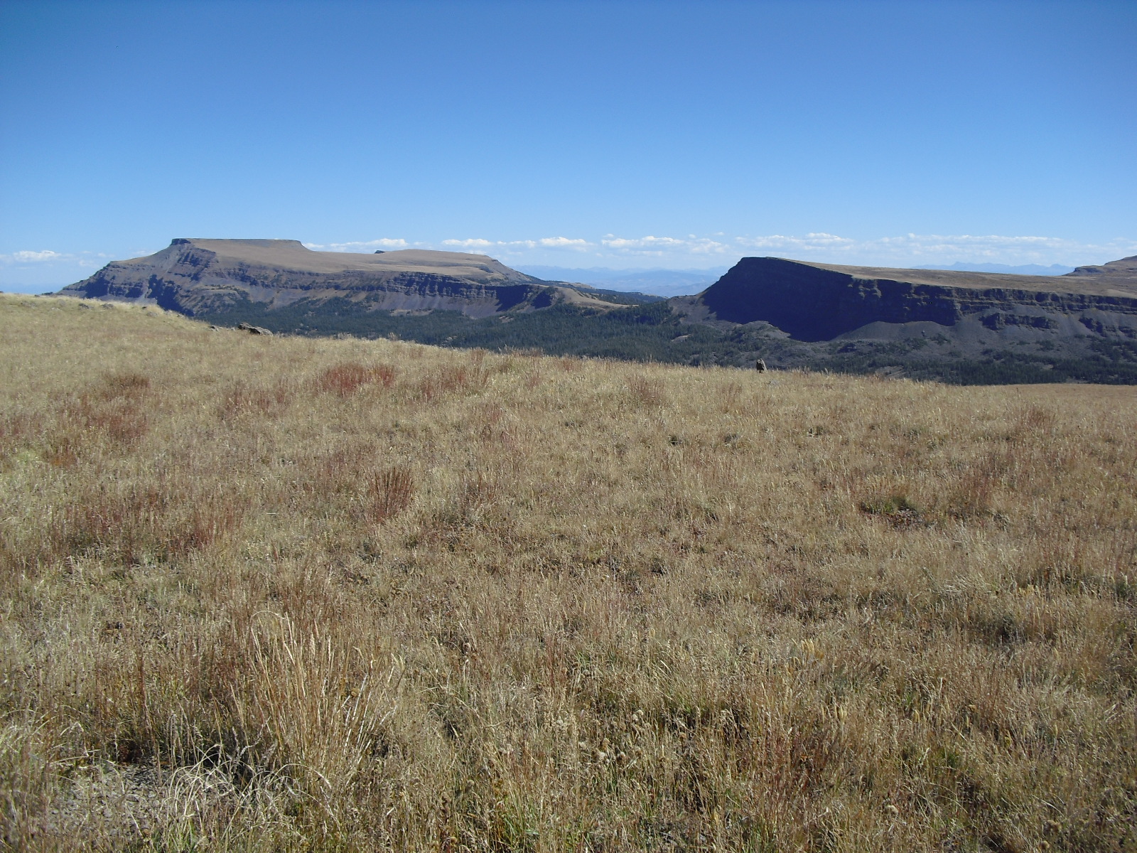
Flat Top Mountain is the highest summit of the Flat Tops in the Rocky Mountains of North America. The prominent 12,361-foot (3,768 m) peak is located in the Flat Tops Wilderness, 19.1 miles (30.7 km) south-southwest (bearing 201°) of the Town of Oak Creek, Colorado, United States, on the drainage divide between Routt National Forest and White River National Forest. The summit of Flat Top Mountain is the highest point in Garfield County, Colorado.[1][2][3]
| Flattop Mountain | |
|---|---|
 Flattop Mountain Colorado | |
| Highest point | |
| Elevation | 12,361 ft (3,768 m)[1][2] |
| Prominence | 4,054 ft (1,236 m)[3] |
| Isolation | 40.77 mi (65.61 km)[3] |
| Listing | Colorado county high points 34th |
| Coordinates | 40°00′53″N 107°05′00″W[1] |
| Geography | |
| Location | High point of Garfield County, Colorado, United States[3] |
| Parent range | Highest summit of the Flat Tops[3] |
| Topo map | USGS 7.5' topographic map Orno Peak, Colorado[1] |
| Climbing | |
| Easiest route | hike |
See also
- List of mountain peaks of Colorado
- List of the most prominent summits of Colorado
- List of Colorado county high points
References
- "FLATTOP". NGS data sheet. U.S. National Geodetic Survey. Retrieved October 20, 2014.
- The elevation of Flat Top Mountain includes an adjustment of +1.698 m (+5.57 ft) from NGVD 29 to NAVD 88.
- "Flat Top Mountain, Colorado". Peakbagger.com. Retrieved October 20, 2014.
External links
Flat Top Mountain at Wikipedia's sister projects
 Definitions from Wiktionary
 Media from Commons
 News from Wikinews
 Quotations from Wikiquote
 Texts from Wikisource
 Textbooks from Wikibooks
 Resources from Wikiversity
- "Flat Top Mountain". Geographic Names Information System. United States Geological Survey.
Denver (capital) | ||
| Topics |
|  |
| Society |
| |
| Cities |
| |
| Counties |
| |
| Regions |
| |
| Federal |
| ||||||||||||||||||||||||||||||||
|---|---|---|---|---|---|---|---|---|---|---|---|---|---|---|---|---|---|---|---|---|---|---|---|---|---|---|---|---|---|---|---|---|---|
| State |
| ||||||||||||||||||||||||||||||||
| Trails |
| ||||||||||||||||||||||||||||||||
Colorado Department of Natural Resources (web) | |||||||||||||||||||||||||||||||||
This Colorado state location article is a stub. You can help Wikipedia by expanding it. |
Текст в блоке "Читать" взят с сайта "Википедия" и доступен по лицензии Creative Commons Attribution-ShareAlike; в отдельных случаях могут действовать дополнительные условия.
Другой контент может иметь иную лицензию. Перед использованием материалов сайта WikiSort.org внимательно изучите правила лицензирования конкретных элементов наполнения сайта.
Другой контент может иметь иную лицензию. Перед использованием материалов сайта WikiSort.org внимательно изучите правила лицензирования конкретных элементов наполнения сайта.
2019-2025
WikiSort.org - проект по пересортировке и дополнению контента Википедии
WikiSort.org - проект по пересортировке и дополнению контента Википедии