geo.wikisort.org - River
The Drava or Drave[2] (German: Drau, pronounced [ˈdʁaʊ] (![]() listen); Slovene: Drava [ˈdɾàːʋa]; Croatian: Drava [drǎːʋa]; Hungarian: Dráva [ˈdraːvɒ]; Italian: Drava [ˈdraːva]) is a river in southern Central Europe. With a length of 710 kilometres (440 mi),[1] 724 kilometres (450 mi) including the Sextner Bach source, it is the fifth or sixth longest tributary of the Danube, after the Tisza, Sava, Prut, Mureș and perhaps Siret. The Drava drains an area of about 40,154 km2 (15,504 sq mi).[1] Its mean annual discharge is seasonally 500 m3/s (18,000 cu ft/s) to 670 m3/s (24,000 cu ft/s). Its source is near the market town of Innichen/San Candido, in the Puster Valley of South Tyrol/Alto Adige, Italy. The river flows eastwards through East Tirol and Carinthia in Austria into the Styria region of Slovenia. It then turns southeast, passing through Croatia and, after merging with its main tributary Mur, forms most of the border between Croatia and Hungary, before it joins the Danube near Osijek.
listen); Slovene: Drava [ˈdɾàːʋa]; Croatian: Drava [drǎːʋa]; Hungarian: Dráva [ˈdraːvɒ]; Italian: Drava [ˈdraːva]) is a river in southern Central Europe. With a length of 710 kilometres (440 mi),[1] 724 kilometres (450 mi) including the Sextner Bach source, it is the fifth or sixth longest tributary of the Danube, after the Tisza, Sava, Prut, Mureș and perhaps Siret. The Drava drains an area of about 40,154 km2 (15,504 sq mi).[1] Its mean annual discharge is seasonally 500 m3/s (18,000 cu ft/s) to 670 m3/s (24,000 cu ft/s). Its source is near the market town of Innichen/San Candido, in the Puster Valley of South Tyrol/Alto Adige, Italy. The river flows eastwards through East Tirol and Carinthia in Austria into the Styria region of Slovenia. It then turns southeast, passing through Croatia and, after merging with its main tributary Mur, forms most of the border between Croatia and Hungary, before it joins the Danube near Osijek.
| Drava or Drave Drau, Dráva | |
|---|---|
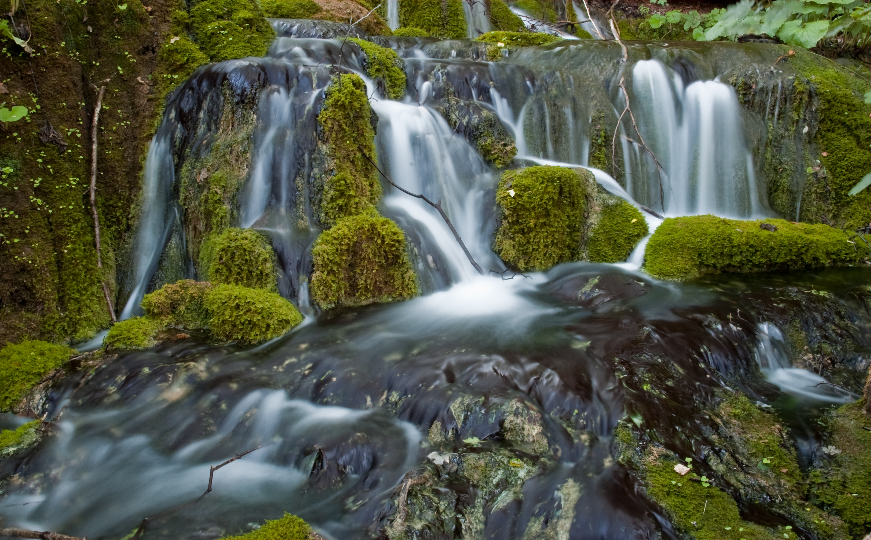
 The Drava in Osijek, Croatia | |
 | |
| Location | |
| Countries |
|
| Cities | |
| Physical characteristics | |
| Source | North of the Neunerkofel/Cima Nove over the Toblacher Feld/Sella di Dobbiaco |
| • location | Toblach/Dobbiaco, South Tyrol/Alto Adige, Italy |
| • coordinates | 46°43′9″N 12°15′16″E |
| • elevation | 1,450 m (4,760 ft) |
| Mouth | Danube near Osijek |
• location | Croatia |
• coordinates | 45°32′38″N 18°55′31″E |
| Length | 709.8 km (441.0 mi)[1] |
| Basin size | 40,154 km2 (15,504 sq mi)[1] |
| Discharge | |
| • location | Osijek, Croatia (19.8 km upstream of mouth) |
| • average | 552 m3/s (19,500 cu ft/s) |
| • minimum | 125 m3/s (4,400 cu ft/s) |
| • maximum | 3,000 m3/s (110,000 cu ft/s) |
| Discharge | |
| • location | Belišće, Croatia (53.8 km upstream of mouth - Basin size: 38,500 km2 (14,900 sq mi)[1] |
| • average | 544 m3/s (19,200 cu ft/s)[1] |
| • minimum | 160 m3/s (5,700 cu ft/s)[1] |
| • maximum | 2,232 m3/s (78,800 cu ft/s)[1] |
| Discharge | |
| • location | Barcs, Hungary (154.1 km upstream of mouth - Basin size: 33,977 km2 (13,119 sq mi)[1] |
| • average | 486 m3/s (17,200 cu ft/s)[1] (Period of data: 1896-2014)595 m3/s (21,000 cu ft/s) |
| • minimum | 114 m3/s (4,000 cu ft/s)[1] (Period of data: 1896-2014)170 m3/s (6,000 cu ft/s) |
| • maximum | 3,040 m3/s (107,000 cu ft/s)[1] (Period of data: 1896-2014)3,070 m3/s (108,000 cu ft/s) |
| Discharge | |
| • location | Ormož, Slovenia (312.8 km upstream of mouth - Basin size: 15,379 km2 (5,938 sq mi)[1] |
| • average | 292 m3/s (10,300 cu ft/s)[1] |
| • minimum | 28 m3/s (990 cu ft/s)[1] |
| • maximum | 1,994 m3/s (70,400 cu ft/s)[1] |
| Discharge | |
| • location | Lavamünd, Austria (413.3 km upstream of mouth - Basin size: 11,052 km2 (4,267 sq mi)[1] |
| • average | 280 m3/s (9,900 cu ft/s)[1] |
| • minimum | 95 m3/s (3,400 cu ft/s)[1] |
| • maximum | 2,400 m3/s (85,000 cu ft/s)[1] |
| Basin features | |
| Progression | Danube→ Black Sea |
Name
In ancient times the river was known as Dravus or Draus in Latin, and in Greek as Δράος[3][4] and Δράβος. Medieval attestations of the name include Dravis (c. AD 670), Drauva (in 799), Drauus (in 811), Trauum (in 1091), and Trah (in 1136). The name is pre-Roman and pre-Celtic, but probably of Indo-European origin, from the root *dreu̯- 'flow'.[5] The river gives its name to the dravite species of tourmaline.[6]
Geography
The Drava (along with one of its tributaries, the Slizza) and the Spöl are the only two rivers originating in Italy that belong to the Danube drainage basin. Its main left tributaries (from the north) are the Isel (contributes 39 m³/s), the Möll (25 m³/s), the Lieser (22 m³/s), the Gurk (30 m³/s) and the Lavant (12 m³/s) in Austria, and the Mur (166 m³/s) near Legrad at the Croatian–Hungarian border. Its main right tributaries (from the south) are the Gail (45 m³/s) in Austria, the Meža (12 m³/s) and Dravinja (11 m³/s) in Slovenia, and the Bednja (? m³/s) in Croatia.
| Country | Length (km) | Catchment area (km2) | Mean flow (m³/s) |
|---|---|---|---|
| Italy | 10.6 | 354 (0.9%) | 4 |
| Austria | 254.7 | 22,162 (55.2%) | 280 |
| Austria–Slovenia | 4.2 | border | |
| Slovenia | 117.7 | 4,662 (11.6%) | 292 |
| Slovenia–Croatia | 23.3 | border | |
| Croatia | 166.4 | 6,822 (17.0%) | 544 |
| Croatia–Hungary | 133.0 | border | |
| Hungary | 0 | 6,154 (15.3%) | 544 |
| Total | 709.8 | 40,154 (100%) | 544 |
Mean discharge is for the last station in the country mentioned in the source.[1]
Course

The Drava sources are located at the drainage divide between the market town of Innichen/San Candido and neighbouring Toblach/Dobbiaco in the west, where the Rienz River rises, a tributary of the Adige/Etsch. At Innichen itself the 16+ km Sextner Bach,[7] originating near the Sextener Rotwand, joins the ~2 km long source creek. The river than flows eastwards and after 8 kilometres crosses into East Tyrol in Austria. At Lienz it flows into the Isel, sourced from the glaciers of the Venediger and Glockner Groups. The Isel (average discharge 39 m³/s) is almost three times larger than the Drava (14 m³/s) where they meet and, starting from the source of its tributary Schwarzach under the Rötspitze, the Isel (ca. 64 km) is also longer than the combined Drava and Sextner Bach (ca. 60 km) to that point.[8][1]
The river then flows east into Carinthia at Oberdrauburg. The river separates the Kreuzeck range of the High Tauern in the north and the Gailtal Alps in the south, passes the Sachsenburg narrows and the site of the ancient city of Teurnia, before it reaches the town of Spittal an der Drau. Downstream of Villach, it runs along the northern slopes of the Karawanks to Ferlach and Lavamünd.
The Drava passes into Slovenia at Gorče near Dravograd, from where it runs for 142 kilometres (88 mi)[9] via Vuzenica, Muta, Ruše, and Maribor to Ptuj and the border with Croatia at Ormož. The river then passes Varaždin, Belišće and Osijek in Croatia, and Barcs in Hungary. It is navigable for about 90 kilometres (56 mi) from Čađavica in Croatia to its mouth.
The hydrological parameters of Drava are regularly monitored in Croatia at Botovo, Terezino Polje, Donji Miholjac and Osijek.[10]
Hydroelectric power plants
Currently, there are 22 hydroelectric power plants on the Drava. The power plants are listed beginning at the headwaters:
| Dam | Nameplate capacity (MW) | Annual generation (Mio. kwh) |
|---|---|---|
| Amlach power station[11] | 60 | 219 |
| Paternion[12] | 24 | 95 |
| Kellerberg[12] | 25 | 96 |
| Villach[12] | 25 | 100 |
| Rosegg-St. Jakob[12] | 80 | 338 |
| Feistritz-Ludmannsdorf[12] | 88 | 354 |
| Ferlach-Maria Rain[12] | 75 | 318 |
| Annabrücke[12] | 90 | 390 |
| Edling[12] | 87 | 407 |
| Schwabeck[12] | 79 | 378 |
| Lavamünd[12] | 28 | 156 |
| Dravograd[13] | 26.2 | 142 |
| Vuzenica[13] | 55.6 | 247 |
| Vuhred[13] | 72.3 | 297 |
| Ožbalt[13] | 73.2 | 305 |
| Fala[13] | 58 | 260 |
| Mariborski Otok[13] | 60 | 270 |
| Zlatoličje[13] | 126 | 577 |
| Formin[13] | 116 | 548 |
| Varaždin | 86 | 476 |
| Čakovec | 75.9 | 400 |
| Dubrava | 84 | |
The Drava River is one of the most exploited rivers in the world in terms of hydropower, with almost 100% of its water potential energy being exploited.[14][15] As the region of the river is a place of exceptional biodiversity, this raises several ecological concerns, together with other forms of exploitation such as use of river deposits.[16][17]
References
- Joint Drava River Corridor Analysis Report, 27 November 2014
- Utrata Fachwörterbuch: Geographie - Englisch-Deutsch/Deutsch-Englisch by Jürgen Utrata (2014). Retrieved 10 Apr 2014.
- Roesler, R. (1873). "Einiges über das Thrakische". Zeitschrift für die österreichischen Gymnasien. Vienna: Carl Gerold's Sohn. 24: 111.
- Melich, J. (1932). "Über slavische Flußnamen fremden Ursprungs. Milan von Rešetar zum 70. Geburtstag gewidmet". Zeitschrift für Slavische Philologie. 9 (1/2): 97. JSTOR 24000481. Retrieved December 7, 2020.
- Snoj, Marko (2009). Etimološki slovar slovenskih zemljepisnih imen. Ljubljana: Modrijan. p. 124.
- Deer, William Alexander; Howie, Robert Andrew; Zussman, Jack (1997). Rock-Forming Minerals: Volume 1B, Disilicates and Ring Silicates. London: The Geological Society. p. 559.
- Sextner Bach at the South Tyrol/Alto Adige agency for the environment website
- Hydrographisches Jahrbuch Österreichs 2008, S. OG322
- Rivers, longer than 25 km, and their catchment areas, Statistical Office of the Republic of Slovenia
- "Daily hydrological report". State Hydrometeorological Bureau of the Republic of Croatia. Retrieved 2010-09-09.
- "Kraftwerk Amlach" (in German). Tiroler Wasserkraft. Retrieved 2016-08-25.
- "Die Drau" (in German). Verbund. Retrieved 2016-08-25.
- "Power plants". Dravske elektrarne Maribor. Retrieved 2016-08-25.
- "HSE - Did you know?". HSE. Archived from the original on 2017-08-07. Retrieved 2017-08-07.
- "International Symposium "Drava River Vision"". LIFE Projekt Lebensader Obere Drau. 2 September 2007. Archived from the original on 2017-08-07. Retrieved 2017-08-07.
- "The Drava River – a flowing controversy". International Commission for the Protection of the Danube River. Archived from the original on 2017-08-07. Retrieved 2017-08-07.
- "Is the Drava River Basin management sustainable and well on the way?" (PDF). International Symposium "Drava River Vision". Austrian Federal Ministry for Agriculture, Forestry, Environment and Water Management; Government of Carinthia, Department of Water Management. September 2008. Archived from the original (PDF) on 2017-08-07. Retrieved 2017-08-07.
Bibliography
- Petrić, Hrvoje (2014). "About Drava River Floodings. Some Aspects of the Interrelationship between Humans and the River Drava in the Pre-Industrial Times with an Emphasis on the Late 18th and Early 19th Century.". Man, Nature and Environment Between the Northern Adriatic and the Eastern Alps in Premodern Times. University of Ljubljana. ISBN 978-961-237723-6.
External links
- DrauDrava - old river and new sounds
- Condition of Drava in various locations in Slovenia:
- Črneče Archived 2016-03-03 at the Wayback Machine - graphs, in the following order, of water level, flow and temperature data for the past 30 days (taken in Črneče by ARSO)
- Ptuj Archived 2016-03-04 at the Wayback Machine - graphs, in the following order, of water level, flow and temperature data for the past 30 days (taken in Ptuj by ARSO)
- Borl Archived 2016-03-03 at the Wayback Machine - graphs, in the following order, of water level, flow and temperature data for the past 30 days (taken in Borl by ARSO)
Hydrography of Croatia | ||||||
|---|---|---|---|---|---|---|
| Rivers |
|  | ||||
| Lakes | ||||||
| Valleys, estuaries, canyons, wetlands |
| |||||
| Waterfalls | ||||||
| Canals |
| |||||
| Adriatic Sea |
| |||||
Hydrography of Slovenia | ||
|---|---|---|
| Rivers |
|  |
| Streams | ||
| Waterfalls | ||
| Lakes | ||
| Wetlands |
| |
| Sea | ||
| River valleys |
| |
| Canyons and gorges |
| |
| Countries |
|  |
|---|---|---|
| Cities | ||
| Tributaries | ||
| Canals | ||
| See also |
| |
Authority control | |
|---|---|
| General | |
| National libraries | |
На других языках
[de] Drau
Die Drau (seltener Drave; italienisch, slowenisch und kroatisch Drava, ungarisch Dráva) ist ein Nebenfluss der Donau, der im italienischen Südtirol entspringt, dann durch Osttirol und Kärnten (Österreich) sowie durch die Untersteiermark (Slowenien), Kroatien und Ungarn fließt.- [en] Drava
[es] Río Drava
El río Drava es un río de Europa Central meridional que nace en el Tirol meridional (Italia) y transcurre en dirección este a través del Tirol oriental y del estado austriaco de Carintia. Luego, en Eslovenia, pasa por Maribor y sigue en dirección sureste a través de Croacia, formando la mayor parte de la frontera con Hungría. Termina su curso en el río Danubio, cerca de Osijek, con una longitud de 749 km.[it] Drava
La Drava (Drau in tedesco e friulano, Dráva in ungherese, Drava in sloveno e croato) è un affluente del Danubio, che nasce nel comune di San Candido (nelle vicinanze della sella di Dobbiaco,[1] spartiacque tra il bacino del Mar Adriatico e quello del Mar Nero) ai piedi della Cima Nove (nella cosiddetta "Foresta delle canne"), nel parco naturale Tre Cime. Con i suoi 749 chilometri dalla sorgente alla confluenza col Danubio, è il più lungo tra i fiumi che scorrono, anche in parte, in Italia. Il nome è attestato anche da scrittori dell'epoca romana come Plinio (Draus), Sesto Rufo (Dravus) e Strabone (Drabo).[2][ru] Драва
Дра́ва (словен. , хорв. и итал. Drava, нем. Drau, венг. Dráva) — река в юго-восточной Европе, правый приток Дуная. Длина реки — 720 км, площадь бассейна — 40 400 км². Средний расход воды — 610 м³/с.Другой контент может иметь иную лицензию. Перед использованием материалов сайта WikiSort.org внимательно изучите правила лицензирования конкретных элементов наполнения сайта.
WikiSort.org - проект по пересортировке и дополнению контента Википедии