geo.wikisort.org - River
Odra (pronounced [odra]) is a river in central Croatia. It is 83 km (52 mi) long and its basin covers an area of 604 km2 (233 sq mi).[1] Its source is in the Žumberak mountain, southwest of Zagreb. It flows eastwards, passes south of Velika Gorica, then turns south-east, more or less parallel to the river Sava. It flows into the river Kupa near Odra Sisačka, just northeast of Sisak, also just before the Kupa joins the river Sava.
| Odra | |
|---|---|
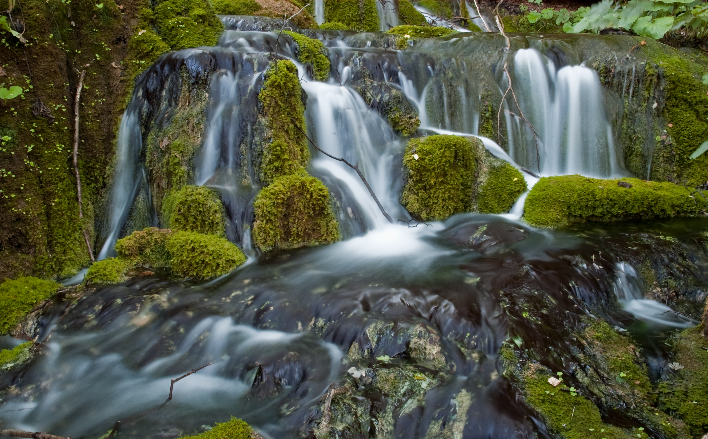
 Odra near Sisak | |
| Location | |
| Country | Croatia |
| Physical characteristics | |
| Mouth | |
• location | Kupa |
• coordinates | 45.4943°N 16.3546°E |
| Length | 83 km (52 mi)[1] |
| Basin size | 604 km2 (233 sq mi)[1] |
| Basin features | |
| Progression | Kupa→ Sava→ Danube→ Black Sea |
The upper flow of Odra has been significantly altered by humans, by the digging of the 32 km (20 mi) long canal Sava-Odra(-Sava) south of Zagreb, as a measure against flooding (designed taking into account the maximum flows of 1964, 1973 and 1974, and first put to use in 1979).[2]
There are several etymologies suggested for the name "Odra". One is that it comes from the Croatian word "oderati" (to cut through). The other is that it comes from the Indo-European root *wodr (water).
References
- Statistical Yearbook of the Republic of Croatia 2017 (PDF) (in Croatian and English). Zagreb: Croatian Bureau of Statistics. December 2017. p. 47. ISSN 1333-3305. Retrieved 23 May 2018.
- Stjepan Šterc. "Kanal Sava-Odra-Sava kao objekt obrane Zagreba od poplava" [Zagreb flood defences by the Sava—Odra—Sava canal]. Geografski glasnik (in Croatian). Zagreb: Hrvatsko geografsko društvo - Croatian Geography Society (41–42, 1979–80). Retrieved 2010-10-17. (includes English language summary)
Hydrography of Croatia | ||||||
|---|---|---|---|---|---|---|
| Rivers |
|  | ||||
| Lakes | ||||||
| Valleys, estuaries, canyons, wetlands |
| |||||
| Waterfalls |
| |||||
| Canals |
| |||||
| Adriatic Sea |
| |||||
This Central Croatian geography article is a stub. You can help Wikipedia by expanding it. |
На других языках
[de] Odra (Kupa)
Die Odra ist ein Fluss in Zentralkroatien. Seine Länge beträgt 83 km, sein Einzugsgebiet umfasst 604 km².[1] Die Quelle befindet sich im Žumberak-Gebirge südwestlich von Zagreb. Der Fluss richtet sich ostwärts, passiert im Zuge des Save-Odra-Save-Kanals den südwestlichsten Zagreber Stadtteil Brezovica sowie den Süden der Stadt Velika Gorica, wendet sich dann nach Südost und fließt dann weitgehend parallel zur Save. Am nordwestlichen Stadtrand der Stadt Sisak mündet die Odra in den Fluss Kupa, wenige Kilometer ehe dieser Fluss in die Save mündet.- [en] Odra (Kupa)
[ru] Одра (приток Купы)
О́дра (хорв. Odra) — река в Хорватии, левый приток реки Купа. Длина реки — 83 км[1], площадь бассейна — 604 км²[1]. Принадлежит к бассейну Дуная и Чёрного моря. Протекает по территории жупаний Загребачка и Сисачко-Мославачка.Другой контент может иметь иную лицензию. Перед использованием материалов сайта WikiSort.org внимательно изучите правила лицензирования конкретных элементов наполнения сайта.
WikiSort.org - проект по пересортировке и дополнению контента Википедии