geo.wikisort.org - River
Orljava is a river in Slavonia, eastern Croatia, a left tributary of Sava. It is 87.6 kilometres (54.4 mi) long and its basin covers an area of 1,618 square kilometres (625 sq mi).[1]
| Orljava | |
|---|---|
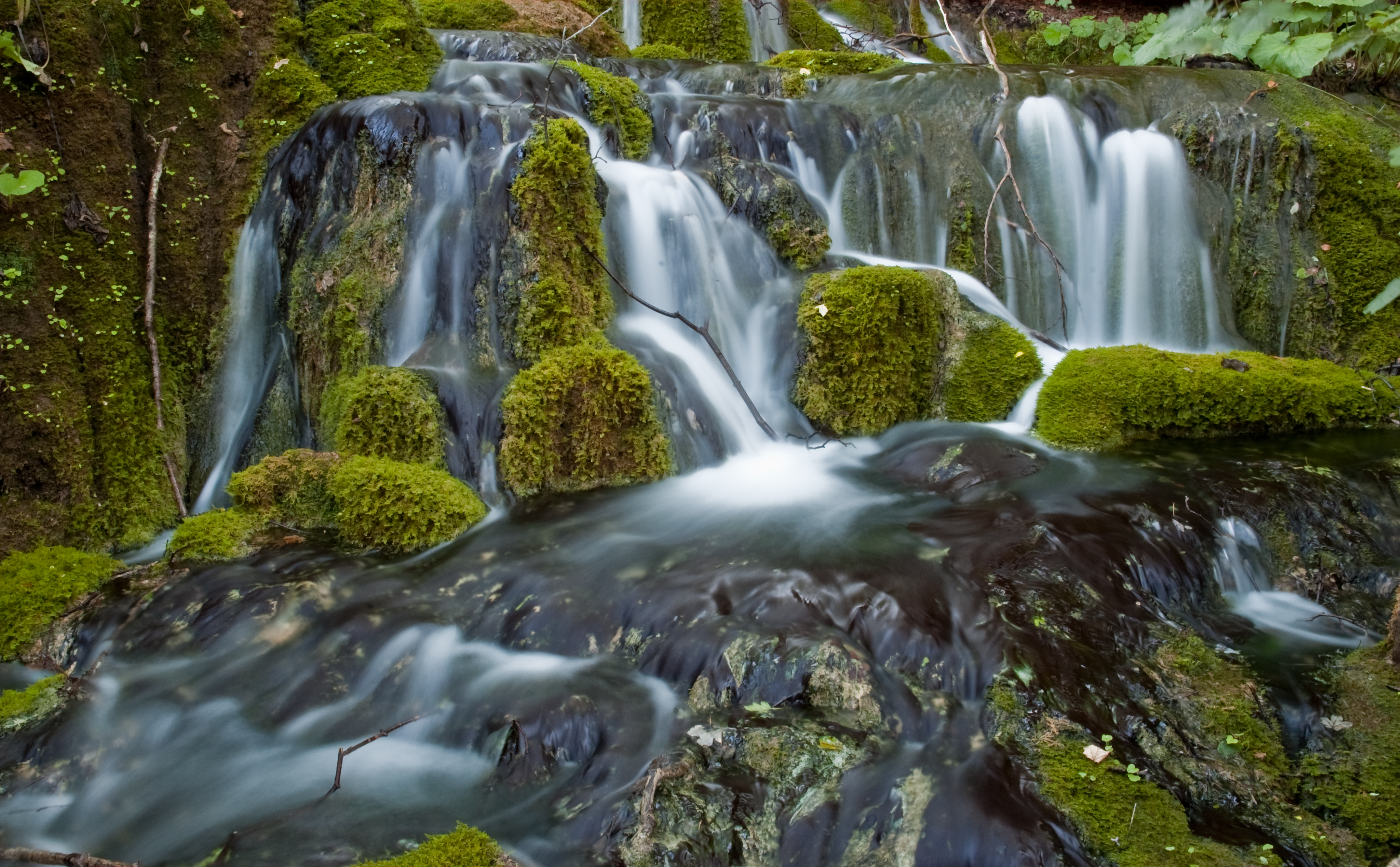
 Orljava in Požega | |
| Location | |
| Country | Croatia |
| Physical characteristics | |
| Mouth | |
• location | Sava |
• coordinates | 45.1068°N 17.7247°E |
| Length | 87.6 km (54.4 mi) [1] |
| Basin size | 1,618 km2 (625 sq mi) [1] |
| Basin features | |
| Progression | Sava→ Danube→ Black Sea |
Orljava rises in the mountainous forested areas of Psunj, south of Bučje. It receives influx from smaller rivers that rise in the mountains of Papuk and Požeška gora. Near Srednje Selo it starts turning southeast, and at Pleternica it merges with the river Londža that rises in Krndija. It then runs south to pass between Požeška gora and Dilj, when it turns to the southwest. As it flows south of Dragovci, the river turns south and eventually flows into the river Sava just west of Slavonski Kobaš, at 45.106777°N 17.724656°E.
There are several etymologies suggested for the hydronym. One is that it comes from the Croatian word "oriti", meaning "echo". The other is that it comes from the Indo-European root *h1or, meaning "to flow". If so, then the same root is seen in the hydronym "Raša".[2][unreliable source?]
References
- "Sava River Basin Analysis Report" (PDF, 9.98 MB). International Sava River Basin Commission. September 2009. p. 13.
- "Croatian toponyms - Linguist Forum".
Hydrography of Croatia | ||||||
|---|---|---|---|---|---|---|
| Rivers |
|  | ||||
| Lakes | ||||||
| Valleys, estuaries, canyons, wetlands |
| |||||
| Waterfalls |
| |||||
| Canals |
| |||||
| Adriatic Sea |
| |||||
| Authority control |
|
|---|
This Požega-Slavonia County geography article is a stub. You can help Wikipedia by expanding it. |
This Brod-Posavina County geography article is a stub. You can help Wikipedia by expanding it. |
На других языках
- [en] Orljava
[ru] Орлява
Орлява (хорв. Orljava) — река в Хорватии, в жупании Пожешко-Славонска, левый приток Савы. Длина реки — 89 км. Площадь водосборного бассейна — 1494 км².[источник не указан 1839 дней]Другой контент может иметь иную лицензию. Перед использованием материалов сайта WikiSort.org внимательно изучите правила лицензирования конкретных элементов наполнения сайта.
WikiSort.org - проект по пересортировке и дополнению контента Википедии