geo.wikisort.org - River
The Sutla (Croatian) or Sotla (Slovene) is a river flowing through Slovenia and Croatia, mostly forming their border. It is a tributary to the Sava, itself a tributary to the Danube. It is 89 kilometres (55 mi) long and has a watershed area of 584 square kilometres (225 sq mi).[2]
| Sotla / Sutla | |
|---|---|
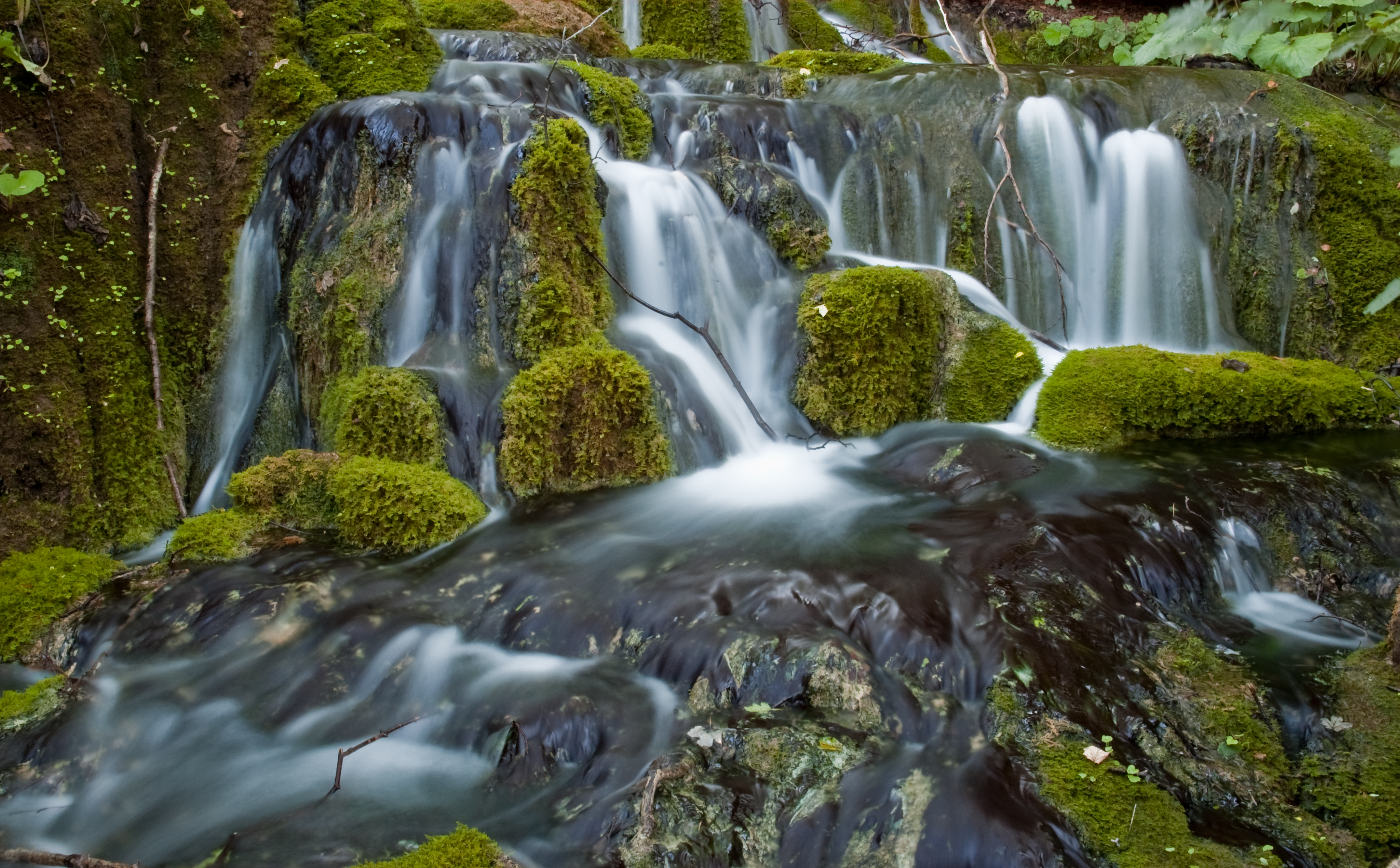
 Sutla River in Zelenjak, between Klanjec and Kumrovec | |
| Location | |
| Countries |
|
| Physical characteristics | |
| Source | |
| • elevation | 580 m (1,900 ft) [1] |
| Mouth | |
• location | Sava |
• coordinates | 45°51′52″N 15°41′01″E |
• elevation | 135 m (443 ft) [1] |
| Length | 88.6 km (55.1 mi) [2] |
| Basin size | 584.3 km2 (225.6 sq mi) [2] |
| Basin features | |
| Progression | Sava→ Danube→ Black Sea |
Overview
The Sutla flows through the following municipalities:
- in Slovenia: Rogatec, Rogaška Slatina, Podčetrtek, Bistrica ob Sotli, Brežice
- in Croatia: Đurmanec, Hum na Sutli, Desinić, Zagorska Sela, Klanjec, Kraljevec na Sutli, Brdovec
The hydrological parameters of the Sutla are regularly monitored in Croatia at Zelenjak.[3]
The division of the Sutla/Sotla basin area between Croatia and Slovenia is inconsistent in sources; Croatian sources claim either 343 km2 (132 sq mi)[4] or 455 km2 (176 sq mi),[5] while Slovenian sources claim either 477 km2 (184 sq mi)[6] or 451 km2 (174 sq mi).[1]
Kozje Park (Slovene: Kozjanski park), established in 1981 as Trebče Memorial Park (Spominski park Trebče), is located in Slovenian territory west of the Sotla. It covers 206 km2 (80 sq mi) of the landscape of the Kozje Hills (Kozjansko hribovje), including wetlands along the Sotla. It is the habitat of over 120 bird species and of about 950 higher plant species.[7]
The earliest known mention of Sutla was in 1028, as Zontla.[8] It has been suggested that the names Sutla and Sava are related, but this is uncertain.[citation needed] Another theory is that the name Sutla comes from the Indo-European root *su, meaning 'swine'.[citation needed]
References
- Rivers, longer than 25 km, and their catchment areas, Statistical Office of the Republic of Slovenia
- "Sava River Basin Analysis Report" (PDF, 9.98 MB). International Sava River Basin Commission. September 2009. p. 13.
- "Daily hydrological report". Croatian Meteorological and Hydrological Service. Retrieved 2010-09-09.
- Ostroški, Ljiljana, ed. (December 2015). Statistički ljetopis Republike Hrvatske 2015 [Statistical Yearbook of the Republic of Croatia 2015] (PDF). Statistical Yearbook of the Republic of Croatia (in Croatian and English). Vol. 47. Zagreb: Croatian Bureau of Statistics. p. 49. ISSN 1333-3305. Retrieved 27 December 2015.
- "Karakteristike značajnijih vodotoka". Vodnogospodarska osnova Hrvatske - Strategija upravljanja vodama (in Croatian). Croatian Parliament. Retrieved 2011-12-19.
- Archived 2012-02-27 at the Wayback Machine Visokovodni valovi – Sotla nad Draganjo in Draganja na izlivu (delovna verzija). Elaborat, Vodnogospodarski inštitut. Ljubljani, 2000.
- Bizjak, Janez (2008). Zavarovana območja v Sloveniji [Protected Areas of Slovenia] (PDF) (in Slovenian and English). Ministry of the Environment and Spatial Planning, Republic of Slovenia. ISBN 978-961-6392-61-7.
- Šimunović, Petar (March 2013). "Predantički toponimi u današnjoj (i povijesnoj) Hrvatskoj" [Pre-Roman placenames in present-day (and historical) Croatia] (PDF). Folia onomastica Croatica (in Croatian). Zagreb: Croatian Academy of Sciences and Arts (22): 209. Retrieved 18 January 2016.
External links
 Media related to Sutla at Wikimedia Commons
Hydrography of Croatia | ||||||
|---|---|---|---|---|---|---|
| Rivers |
|  | ||||
| Lakes | ||||||
| Valleys, estuaries, canyons, wetlands |
| |||||
| Waterfalls |
| |||||
| Canals |
| |||||
| Adriatic Sea |
| |||||
Hydrography of Slovenia | ||
|---|---|---|
| Rivers |
|  |
| Streams | ||
| Waterfalls | ||
| Lakes | ||
| Wetlands |
| |
| Sea | ||
| River valleys |
| |
| Canyons and gorges |
| |
Authority control | |
|---|---|
| General |
|
| National libraries | |
На других языках
[de] Sotla
Die Sotla (deutsch Sottl, Sottla oder Sattelbach, kroatisch Sutla) ist ein etwa 90 km langer, linker Nebenfluss der Save und bildet fast über seinen gesamten Verlauf, vom Ursprung bis zur Mündung, die slowenisch-kroatische Grenze.- [en] Sutla
[es] Río Sutla
El Sutla ( croata ) o Sotla ( esloveno ) es un río que atraviesa Eslovenia y Croacia, en su mayoría formando su frontera. Es un afluente del Sava, afluente del Danubio. Tiene una longitud de 89 kilómetros y una cuenca hidrográfica de 584 kilómetros cuadrados.[it] Sutla
Il Sutla (in croato), o Sotla (in sloveno), è un fiume che, per la maggior parte del suo corso, segna il confine tra la Slovenia e la Croazia. È tributario della Sava, la quale, a sua volta, è un affluente di destra del Danubio. È lungo 90 km ed ha un bacino idrografico di 581 km2.[ru] Сутла
Су́тла, Со́тла (хорв. Sutla, словен. Sotla) — река в Хорватии и Словении, левый приток Савы. Длина реки — 90 км, площадь водосборного бассейна — 581 км³.Другой контент может иметь иную лицензию. Перед использованием материалов сайта WikiSort.org внимательно изучите правила лицензирования конкретных элементов наполнения сайта.
WikiSort.org - проект по пересортировке и дополнению контента Википедии