geo.wikisort.org - River
Ilova is a river in central Croatia, a left tributary of the Sava. It is 104.6 kilometres (65.0 mi) long and its basin covers an area of 1,796 square kilometres (693 sq mi).[1]
| Ilova | |
|---|---|
 | |
| Location | |
| Country | Croatia |
| Physical characteristics | |
| Mouth | |
• location | Sava |
• coordinates | 45°20′56″N 16°46′21″E |
| Length | 104.6 km (65.0 mi) [1] |
| Basin size | 1,796 km2 (693 sq mi) [1] |
| Basin features | |
| Progression | Sava→ Danube→ Black Sea |
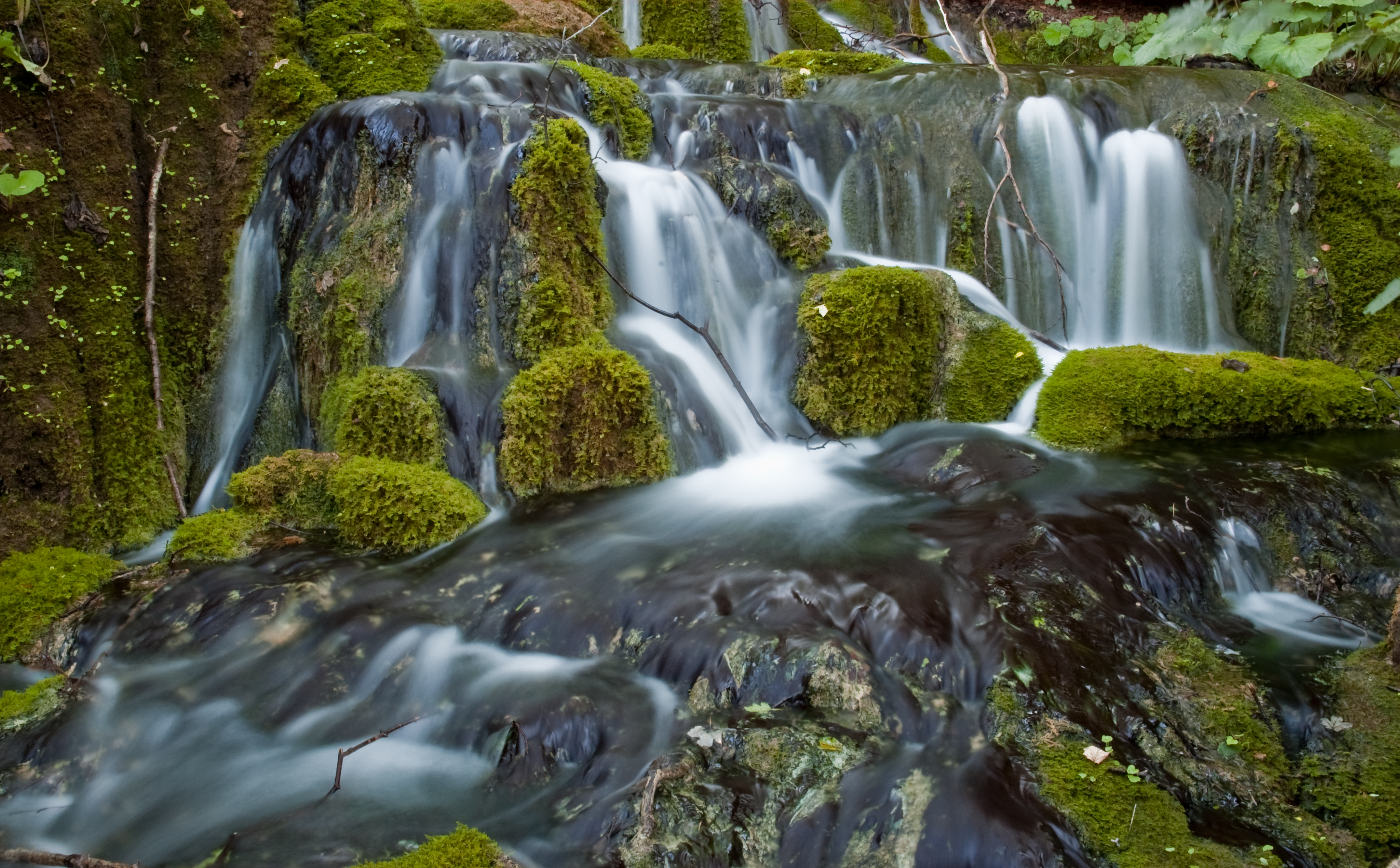
Ilova rises in the hilly areas of eastern Bilogora, south of Virovitica and Suhopolje, and flows towards the southwest, forming a series of lakes near Veliki Zdenci. It turns to the south near Garešnica, where there are another set of lakes at the confluence with the river Toplica that rises in Papuk. It then turns westward to pass near the eponymous village of Ilova south of Kutina, and then flows into the Sava in the eastern part of Lonjsko Polje nature park, about 3 km downstream from the mouth of the Lonja.
References
- "Sava River Basin Analysis Report" (PDF, 9.98 MB). International Sava River Basin Commission. September 2009. p. 13.
Hydrography of Croatia | ||||||
|---|---|---|---|---|---|---|
| Rivers |
|  | ||||
| Lakes | ||||||
| Valleys, estuaries, canyons, wetlands |
| |||||
| Waterfalls |
| |||||
| Canals |
| |||||
| Adriatic Sea |
| |||||
This Bjelovar-Bilogora County geography article is a stub. You can help Wikipedia by expanding it. |
This Sisak-Moslavina County geography article is a stub. You can help Wikipedia by expanding it. |
На других языках
[de] Ilova
Die Ilova ist ein linker Nebenfluss der Lonja-Trebež in Kroatien.- [en] Ilova (Sava)
[ru] Илова (река)
И́лова (хорв. Ilova) — река в Хорватии, левый приток Лоньи. Длина реки — 85 км, площадь бассейна — 1600 км²[1]. Река принадлежит бассейну Дуная и Чёрного моря.Другой контент может иметь иную лицензию. Перед использованием материалов сайта WikiSort.org внимательно изучите правила лицензирования конкретных элементов наполнения сайта.
WikiSort.org - проект по пересортировке и дополнению контента Википедии