geo.wikisort.org - River
The Dobra (pronounced [dobra]) is a river located mostly in the Karlovac County in the Republic of Croatia. It is 104.2 kilometres (64.7 mi) long and its basin covers an area of 1,428 square kilometres (551 sq mi).[1] Its name is the feminine form of the Croatian adjective meaning "good" but it is over simplistic folk etymology. The river name probably comes from the Celtic transl. cel – transl. dubrum, dubron meaning ‘water’, Illyrian δυβρις (dybris) ‘deep’ or Old Slavonic dъbrь (dubri, debra) also ‘deep’ or ‘valley’.
| Dobra | |
|---|---|
 | |
| Location | |
| Country | Croatia |
| Physical characteristics | |
| Mouth | |
• location | Kupa |
• coordinates | 45°32′58″N 15°31′25″E |
| Length | 104.2 km (64.7 mi) [1] |
| Basin size | 1,428 km2 (551 sq mi) [1] |
| Basin features | |
| Progression | Kupa→ Sava→ Danube→ Black Sea |
Dobra rises in Gorski Kotar near Skrad and Ravna Gora, where it flows first to the north and then turns to the east. It flows past Vrbovsko, to the southeast into the city of Ogulin, where it becomes an underground stream. It takes a sharp northward turn and rises back to the surface north of Ogulin. It continues to the northeast, past the Lešće spa and a hydroelectric plant (built and in test operation as of 2010[update]), running in parallel to the Kupa and Mrežnica, and finally flows into the Kupa north of Karlovac.
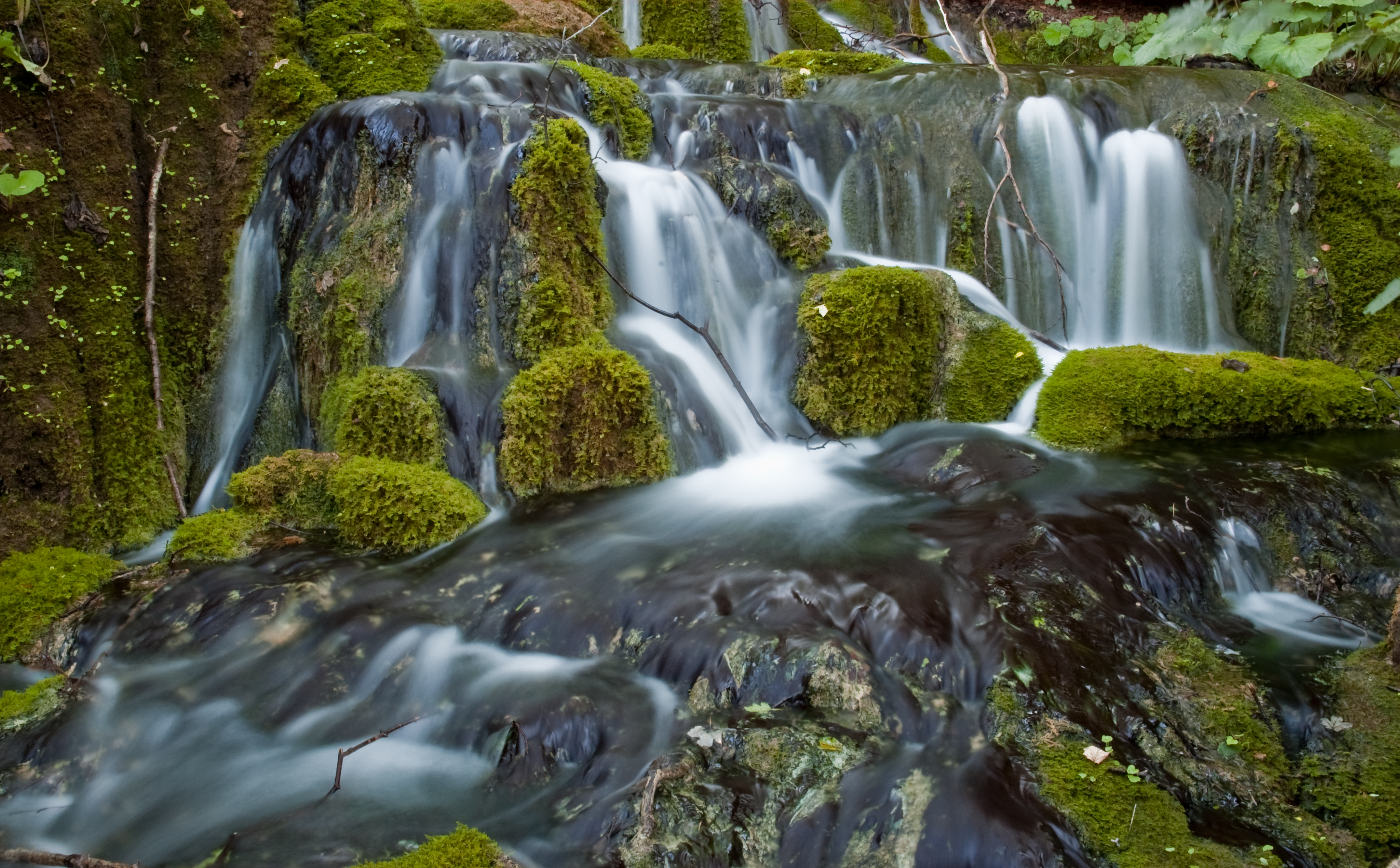
The Dobra river is rich in ichthyofauna and ornithofauna. The Upper and Lower Dobra river are abundant with fish species: brown and rainbow trout, grayling, chub, barbel, bleak, carp, and tench, all in Upper Dobra, while the Lower Dobra is one of the rare Croatian rivers that has fish species such as sprout, pike, chub, pomfret, and barbel.[2]
North of Ogulin, near Gojak, the water of Dobra is harvested for the Gojak Hydroelectric Power Plant, a hydroelectric power plant built to utilize the rivers Dobra and Mrežnica. In 2010. the Lešće hydroelectric power plant started operating on the Lower Dobra section of the river.[3]
Two motorway bridges have been built over the Dobra: the Dobra Bridge (A1) and the Dobra Bridge (A6).
Upper Dobra or Ogulin Dobra
Upper Dobra or Ogulin Dobra (Ogulinska Dobra in Croatian) is a typical torrential water with sudden and big changes in volume flow, while the average slope decline is 1.4%. A smaller river Kamačnik flows into Dobra near Vrbovsko. Until 1957 Dobra was disappearing in Đula's pit, a huge pit in the center of Ogulin. The Upper Dobra river was diverted into the system of the Hydroelectric power plant Gojak some 1.5 km upstream of Đula's pit, and by doing that an artificial lake Bukovnik was created. From the dam down to Đula's pit the river bed is filled with water that is there only once in a while, whenever there's heavy rainfall which causes the river to overflow the dam.[4]
References
- "Sava River Basin Analysis Report" (PDF, 9.98 MB). International Sava River Basin Commission. September 2009. p. 13.
- Archived 2012-09-20 at the Wayback Machine "Rijeka Dobra - lipljanski dio", www.huchen-angler.com, 2012.
- "Hydroelectric power plant Lešće", www.obnovljivi.com, 2010.
- "Jezero Bukovnik" ("The Bukovnik lake"), www.ogulin.hr, 2012.
Hydrography of Croatia | ||||||
|---|---|---|---|---|---|---|
| Rivers |
|  | ||||
| Lakes | ||||||
| Valleys, estuaries, canyons, wetlands |
| |||||
| Waterfalls |
| |||||
| Canals |
| |||||
| Adriatic Sea |
| |||||
This Karlovac County geography article is a stub. You can help Wikipedia by expanding it. |
На других языках
[de] Dobra (Kupa)
Die Dobra ist ein Fluss in Mittelkroatien. Sie entspringt nahe dem Ort Gornja Dobra im Gebiet des Gorski Kotar. Direkt am Ortsanfang von Ogulin verschwindet die Dobra in einem ungefähr 16 Meter hohen Höhleneingang (Ponor), durchfließt dann das Medvedica-Höhlensystem, tritt nach 16 Kilometern als Karstquelle wieder an die Erdoberfläche und mündet nach insgesamt 124 Kilometern nahe Karlovac in die Kupa.- [en] Dobra (Kupa)
[it] Dobra (fiume)
La Dobra è un fiume situato nella Regione di Karlovac in Croazia.[ru] Добра (приток Купы)
До́бра (хорв. Dobra) — река в хорватской жупании Карловачка, правый приток реки Купа. Длина реки — 104 км[1], площадь бассейна — 900 км²[1], средний расход воды — 31 м³/с. Принадлежит к бассейну Дуная и Чёрного моря.Другой контент может иметь иную лицензию. Перед использованием материалов сайта WikiSort.org внимательно изучите правила лицензирования конкретных элементов наполнения сайта.
WikiSort.org - проект по пересортировке и дополнению контента Википедии