geo.wikisort.org - River
The Mirna (Italian: Quieto) is a river in Istria, Croatia. In ancient times it was called the Aquilis. It is Istria's longest and richest river, being 53 km (33 mi) long and having a basin covering an area of 458 km2 (177 sq mi).[1] It rises near Buzet, passes along Motovun and empties into the Adriatic Sea near Novigrad.[2]
| Mirna | |
|---|---|
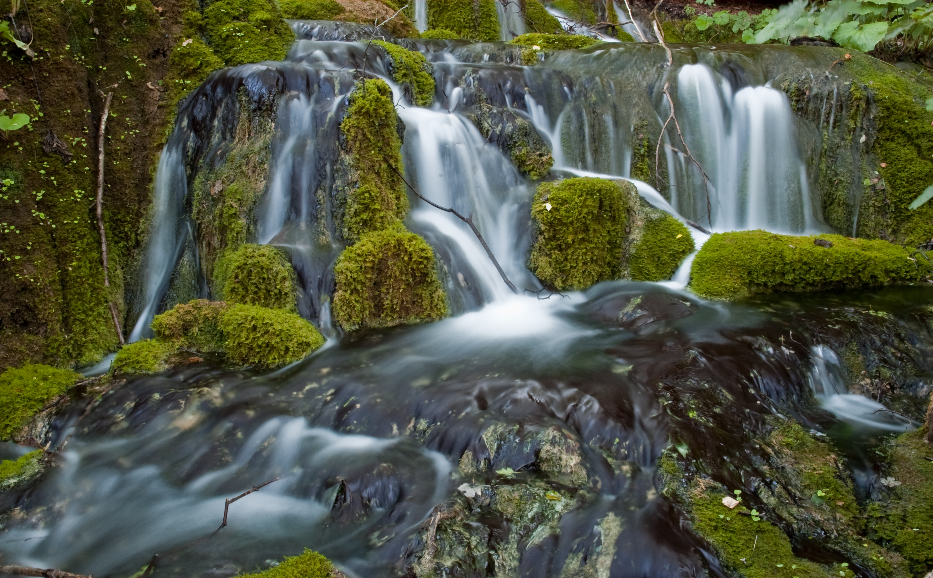
 The Mirna River in Istria, Croatia | |
| Location | |
| Country | Croatia |
| Physical characteristics | |
| Mouth | |
• location | Adriatic Sea |
• coordinates | 45.3164°N 13.5948°E |
| Length | 53 km (33 mi)[1] |
| Basin size | 458 km2 (177 sq mi)[1] |

References
- Statistical Yearbook of the Republic of Croatia 2017 (PDF) (in Croatian and English). Zagreb: Croatian Bureau of Statistics. December 2017. p. 47. ISSN 1333-3305. Retrieved 23 May 2018.
- "Region of Istria: Geographic data". Archived from the original on 2007-06-06. Retrieved 2008-07-30.
External links
Hydrography of Croatia | ||||||
|---|---|---|---|---|---|---|
| Rivers |
|  | ||||
| Lakes | ||||||
| Valleys, estuaries, canyons, wetlands |
| |||||
| Waterfalls | ||||||
| Canals |
| |||||
| Adriatic Sea |
| |||||
| Authority control: National libraries |
|---|
This Istria County geography article is a stub. You can help Wikipedia by expanding it. |
На других языках
[de] Mirna (Kroatien)
Die Mirna (kroatisch Rijeka Mirna, italienisch Fiume Quieto, lateinisch Ningus) ist ein 53 Kilometer langer Fluss in der Gespanschaft Istrien in Kroatien.- [en] Mirna (Adriatic Sea)
[it] Quieto (fiume)
Il Quieto (in croato Mirna, in veneto Chedo) è un fiume dell'Istria, in Croazia. Nasce a sudest di Pinguente (Buzet) presso Colmo (Hum). È lungo 53 km.[ru] Мирна (река, впадает в Адриатическое море)
Ми́рна (хорв. Mirna, лат. Ningus Flumen) — река на полуострове Истрия, Хорватия. В переводе с хорватского означает Тихая.Текст в блоке "Читать" взят с сайта "Википедия" и доступен по лицензии Creative Commons Attribution-ShareAlike; в отдельных случаях могут действовать дополнительные условия.
Другой контент может иметь иную лицензию. Перед использованием материалов сайта WikiSort.org внимательно изучите правила лицензирования конкретных элементов наполнения сайта.
Другой контент может иметь иную лицензию. Перед использованием материалов сайта WikiSort.org внимательно изучите правила лицензирования конкретных элементов наполнения сайта.
2019-2026
WikiSort.org - проект по пересортировке и дополнению контента Википедии
WikiSort.org - проект по пересортировке и дополнению контента Википедии