geo.wikisort.org - River
Plitvica is a river in northern Croatia, a right tributary of Drava. It is 65 kilometres (40 mi) long and its basin covers an area of 272 square kilometres (105 sq mi).[1]
| Plitvica | |
|---|---|
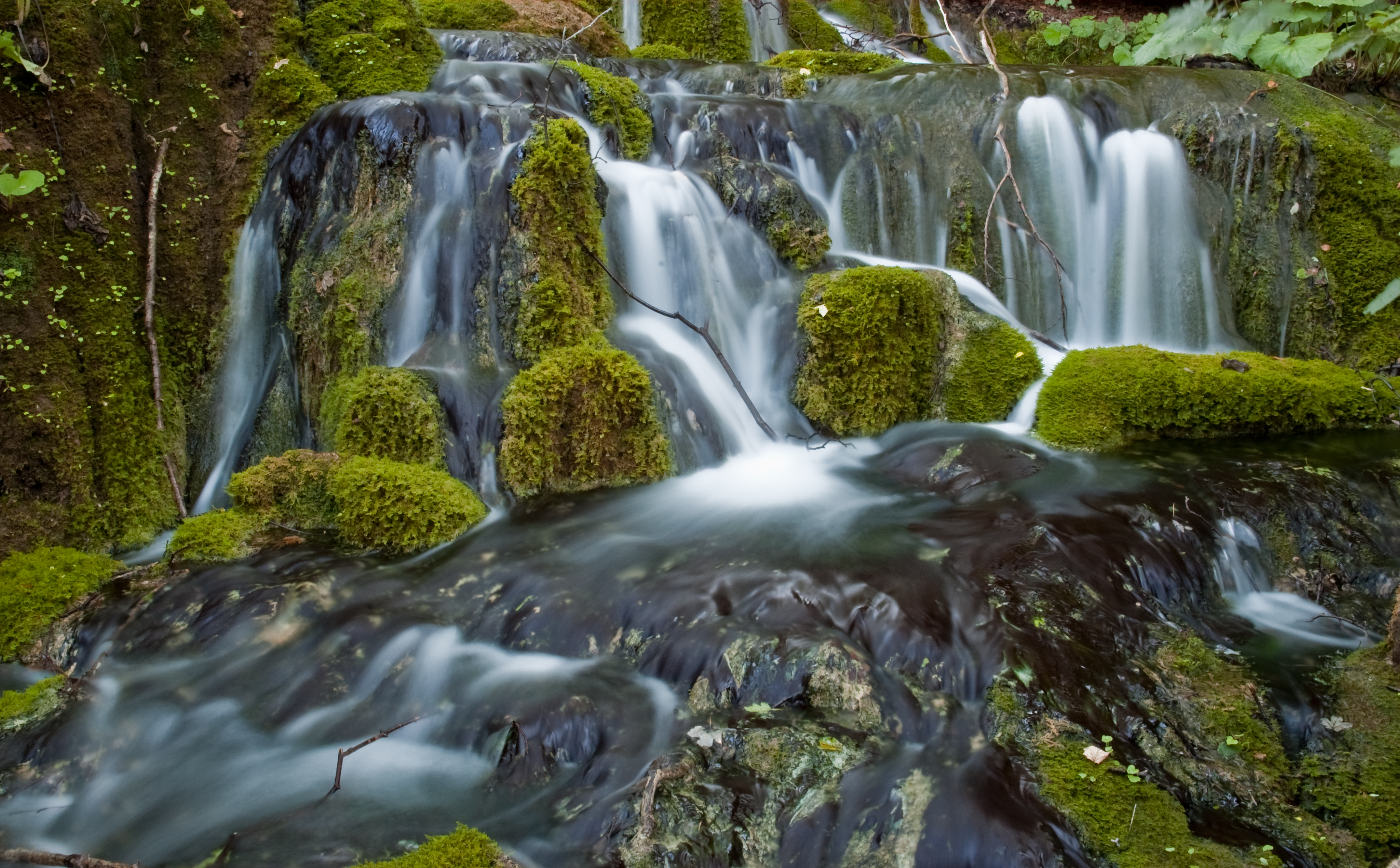
 Plitvica at Varaždin | |
| Location | |
| Country | Croatia |
| Physical characteristics | |
| Mouth | |
• location | Drava |
• coordinates | 46.3081°N 16.7373°E |
| Length | 65 km (40 mi)[1] |
| Basin size | 272 km2 (105 sq mi)[1] |
| Basin features | |
| Progression | Drava→ Danube→ Black Sea |
Plitvica rises in the hilly areas of Maceljsko gorje, near of the eponymous village of Plitvica Voćanska, near Donja Voća. It flows southeast until it turns east near Maruševec, and continues through the lowland south of Varaždin and parallel to Drava, through Sveti Đurđ (north of Ludbreg), until it merges into Drava north of Veliki Bukovec.
References
- Statistical Yearbook of the Republic of Croatia 2017 (PDF) (in Croatian and English). Zagreb: Croatian Bureau of Statistics. December 2017. p. 47. ISSN 1333-3305. Retrieved 23 May 2018.
Hydrography of Croatia | ||||||
|---|---|---|---|---|---|---|
| Rivers |
|  | ||||
| Lakes | ||||||
| Valleys, estuaries, canyons, wetlands |
| |||||
| Waterfalls | ||||||
| Canals |
| |||||
| Adriatic Sea |
| |||||
This Varaždin County geography article is a stub. You can help Wikipedia by expanding it. |
Текст в блоке "Читать" взят с сайта "Википедия" и доступен по лицензии Creative Commons Attribution-ShareAlike; в отдельных случаях могут действовать дополнительные условия.
Другой контент может иметь иную лицензию. Перед использованием материалов сайта WikiSort.org внимательно изучите правила лицензирования конкретных элементов наполнения сайта.
Другой контент может иметь иную лицензию. Перед использованием материалов сайта WikiSort.org внимательно изучите правила лицензирования конкретных элементов наполнения сайта.
2019-2026
WikiSort.org - проект по пересортировке и дополнению контента Википедии
WikiSort.org - проект по пересортировке и дополнению контента Википедии