geo.wikisort.org - River
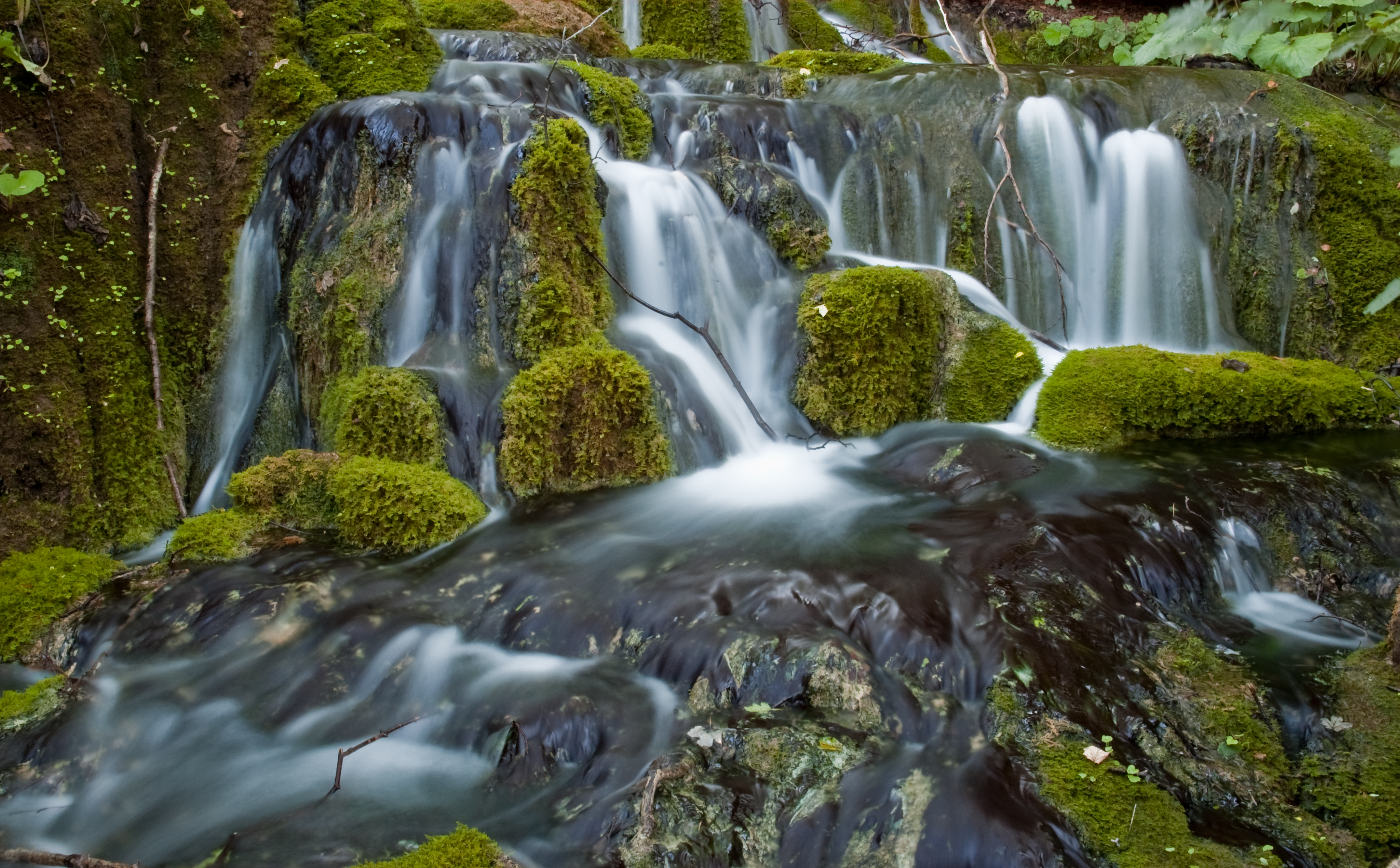
Boljunčica is a river in inland Istria, Croatia. It discharges into the Adriatic Sea near Plomin. It is 33 kilometres (21 mi) long and it has a basin with an area of 230 square kilometres (89 sq mi). Its average discharge at the measurement station in Polje Čepić (covering 183 km2 of the basin) is 0.956 m3/s, and it can go completely dry.[1]
| Boljunčica | |
|---|---|
 | |
| Location | |
| Country | Croatia |
| Physical characteristics | |
| Mouth | |
• location | Adriatic Sea |
• coordinates | 45.1332°N 14.1778°E |
| Length | 33 km (21 mi)[1] |
| Basin size | 230 km2 (89 sq mi)[1] |
Boljunčica rises on the western slopes of the Učka mountain and flows to the south. Near Polje Čepić and Potpićan, it goes underground and emerges near Plomin.
References
- "Karakteristike značajnijih vodotoka". Vodnogospodarska osnova Hrvatske - Strategija upravljanja vodama (in Croatian). Croatian Parliament. Archived from the original on 2013-10-29. Retrieved 2011-12-18.
Hydrography of Croatia | ||||||
|---|---|---|---|---|---|---|
| Rivers |
|  | ||||
| Lakes | ||||||
| Valleys, estuaries, canyons, wetlands |
| |||||
| Waterfalls |
| |||||
| Canals |
| |||||
| Adriatic Sea |
| |||||
This Istria County geography article is a stub. You can help Wikipedia by expanding it. |
На других языках
[de] Boljunčica
Die Boljunčica ist ein Fluss im östlichen Bereich der Halbinsel Istrien in Kroatien. Dessen Verlauf im Čepićko Polje wurde in den frühen 1930er Jahren durch einen Wassertunnel grundlegend verändert.- [en] Boljunčica
Текст в блоке "Читать" взят с сайта "Википедия" и доступен по лицензии Creative Commons Attribution-ShareAlike; в отдельных случаях могут действовать дополнительные условия.
Другой контент может иметь иную лицензию. Перед использованием материалов сайта WikiSort.org внимательно изучите правила лицензирования конкретных элементов наполнения сайта.
Другой контент может иметь иную лицензию. Перед использованием материалов сайта WikiSort.org внимательно изучите правила лицензирования конкретных элементов наполнения сайта.
2019-2026
WikiSort.org - проект по пересортировке и дополнению контента Википедии
WikiSort.org - проект по пересортировке и дополнению контента Википедии