geo.wikisort.org - River
Zrmanja (pronounced [zř̩maɲa], Italian: Zermagna) is a river in southern Lika and northern Dalmatia, Croatia. It is 69 km (43 mi) long and its basin covers an area of 907 km2 (350 sq mi).[1]
| Zrmanja | |
|---|---|
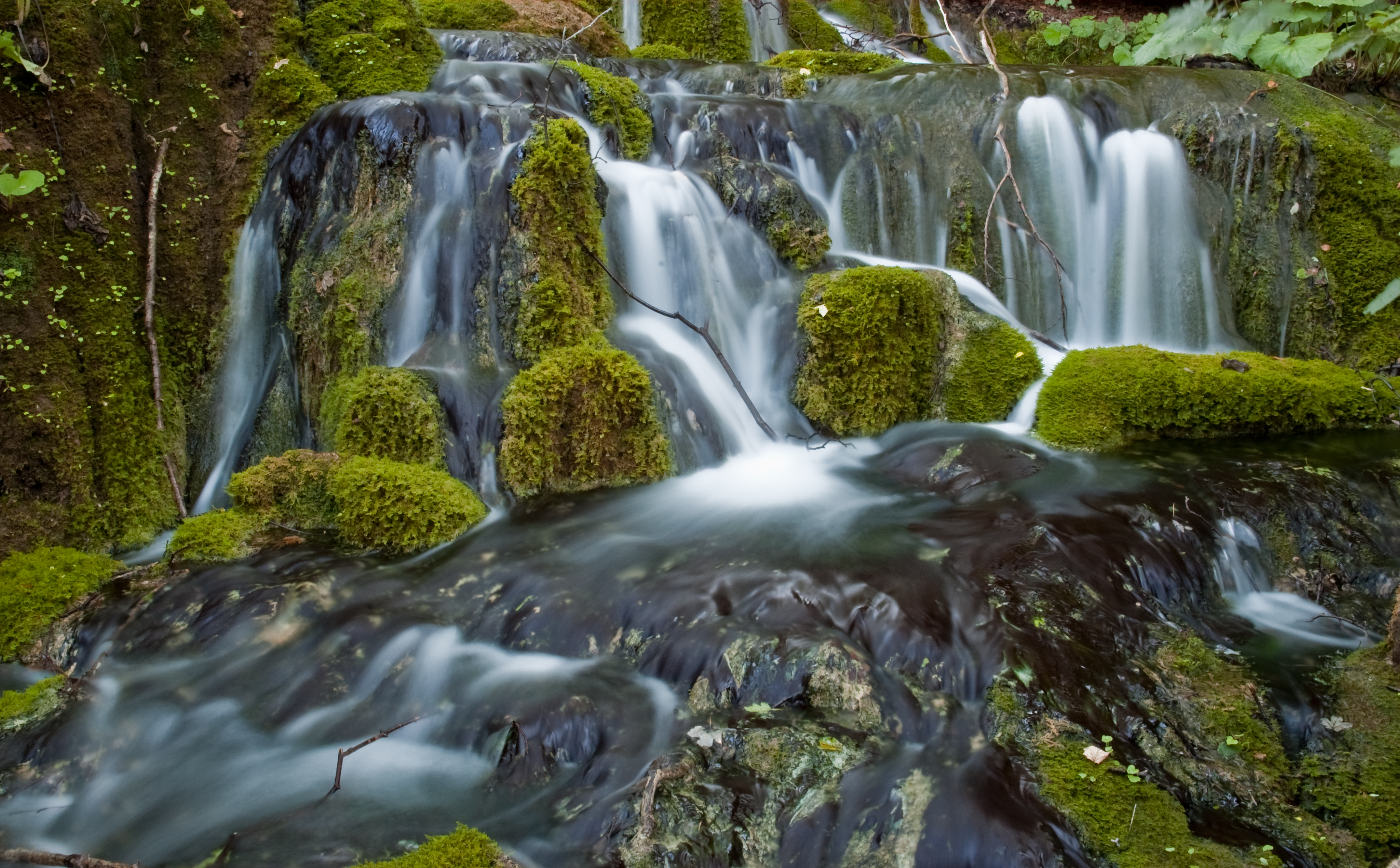
 Misije, a source of Zrmanja River | |
| Location | |
| Country | Croatia |
| Physical characteristics | |
| Mouth | |
• location | Adriatic Sea |
• coordinates | 44.2017°N 15.5883°E |
| Length | 69 km (43 mi)[1] |
| Basin size | 907 km2 (350 sq mi)[1] |

It was known to the ancient Romans as Tedanius. The spring of Zrmanja is located in southern part of Lika under Postak - the southern peak of Pljesevica mountain, and close to south end of Velebit mountain. It is characteristic for its spring located on the bottom of very steep, almost 200 m high funnel shape rock called Misije. It flows southward through the narrow and long arable valley which encircles the southern end of Velebit through a 200-metre-deep canyon, and then turns westwards, reaches Obrovac, and after a few kilometers flows into the Adriatic Sea in the bay named Novigradsko more.
In the 1990s the Velebit area was declared a nature park. Rafting trips on Zrmanja take place in spring and autumn, while kayaks and canoes are used during low water level period of July and August.[citation needed]
The river was hit by an ecological disaster in December 2019 [2] when waste from a former alumina plant was washed into the karst underground. Alkaline mud[3] has been kept in open pools since the closure of the plant.
References
- Statistical Yearbook of the Republic of Croatia 2017 (PDF) (in Croatian and English). Zagreb: Croatian Bureau of Statistics. December 2017. p. 47. ISSN 1333-3305. Retrieved 23 May 2018.
- "Ekološka katastrofa na Zrmanji gora je od svega što se mislilo: u kanjonu završila ogromna količina opasnog lužnatog materijala, tisuće litara kancerogenog ulja i radioaktivne 'konzerve'!". Slobodna Dalmacija (in Croatian). Retrieved 2020-01-02.
- Dragičević, J.S. (October 2004). "Demolition of the former Jadral alumina plant in Obrovac". Researchgate.
Hydrography of Croatia | ||||||
|---|---|---|---|---|---|---|
| Rivers |
|  | ||||
| Lakes | ||||||
| Valleys, estuaries, canyons, wetlands |
| |||||
| Waterfalls | ||||||
| Canals |
| |||||
| Adriatic Sea |
| |||||
Authority control | |
|---|---|
| General |
|
| National libraries | |
This Zadar County geography article is a stub. You can help Wikipedia by expanding it. |
На других языках
[de] Zrmanja
Die Zrmanja ist ein Karstfluss im Süden Kroatiens. Sie entspringt im Gebiet des südlichen Velebit-Gebirgsmassivs und hat eine Länge von 69 km. Wenige Kilometer nach der Stadt Obrovac mündet sie in der Adria. Die Zrmanja fließt durch ein Karstgebiet. Unter besonderen physikalischen und chemischen Bedingungen schafft die Natur in diesem Gebiet stets neues Gestein aus Pflanzenresten (siehe dazu Plitvicer Seen). Typisch für die Zrmanja wie auch für andere Karstflüsse ist ihr klares, smaragdgrün schimmerndes Wasser.- [en] Zrmanja
[it] Zermagna
Lo Zermagna (in croato Zrmanja) è un fiume della Croazia che scorre nella Dalmazia settentrionale.[ru] Зрманя
Зрманя (хорв. Zrmanja) — река в Хорватии в жупаниях Задарска и Шибенско-Книнска. Длина реки составляет 69 км.Другой контент может иметь иную лицензию. Перед использованием материалов сайта WikiSort.org внимательно изучите правила лицензирования конкретных элементов наполнения сайта.
WikiSort.org - проект по пересортировке и дополнению контента Википедии