geo.wikisort.org - River
Londža is a river in Slavonia, eastern Croatia, a left tributary of Orljava. It is 47 kilometres (29 mi) long and its basin covers an area of 562 km2 (217 square miles).
| Londža | |
|---|---|
| Location | |
| Country | Croatia |
| Physical characteristics | |
| Mouth | |
• location | Orljava |
• coordinates | 45.2694°N 17.8117°E |
| Length | 47 km (29 mi) |
| Basin size | 562 km2 (217 sq mi) |
| Basin features | |
| Progression | Orljava→ Sava→ Danube→ Black Sea |
Londža rises in the southwestern slopes of the Krndija mountain, runs through Požega Valley, and flows into Orljava river near the town of Pleternica.
Sources
- Londža at the Proleksis Encyclopedia (in Croatian)
Hydrography of Croatia | ||||||
|---|---|---|---|---|---|---|
| Rivers |
|  | ||||
| Lakes | ||||||
| Valleys, estuaries, canyons, wetlands |
| |||||
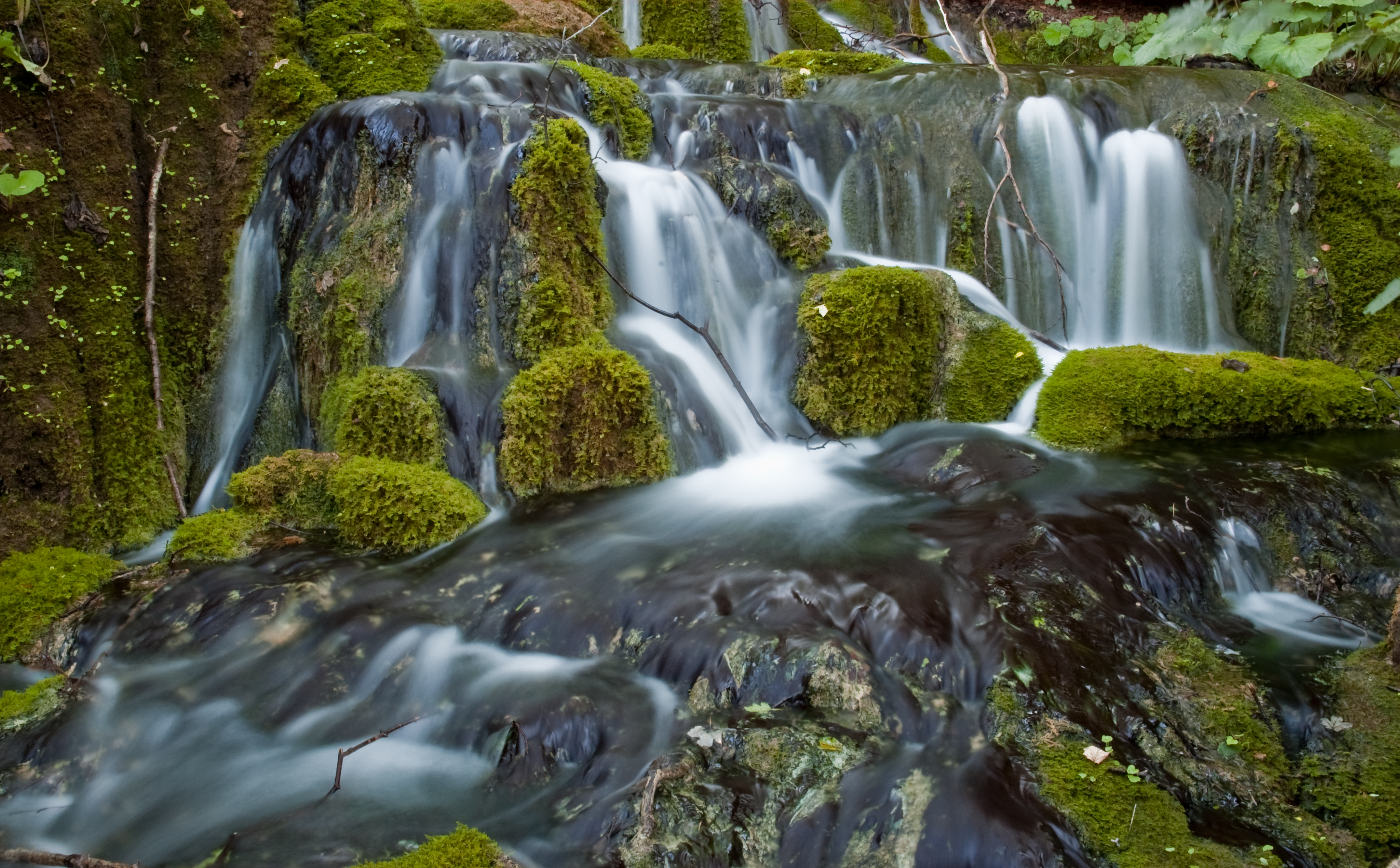
| Waterfalls | ||||||
| Canals |
| |||||
| Adriatic Sea |
| |||||
This Požega-Slavonia County geography article is a stub. You can help Wikipedia by expanding it. |
Текст в блоке "Читать" взят с сайта "Википедия" и доступен по лицензии Creative Commons Attribution-ShareAlike; в отдельных случаях могут действовать дополнительные условия.
Другой контент может иметь иную лицензию. Перед использованием материалов сайта WikiSort.org внимательно изучите правила лицензирования конкретных элементов наполнения сайта.
Другой контент может иметь иную лицензию. Перед использованием материалов сайта WikiSort.org внимательно изучите правила лицензирования конкретных элементов наполнения сайта.
2019-2026
WikiSort.org - проект по пересортировке и дополнению контента Википедии
WikiSort.org - проект по пересортировке и дополнению контента Википедии