geo.wikisort.org - Mountains
The country of Bolivia hosts numerous active[i 1] and extinct volcanoes across its territory. The active volcanoes are in western Bolivia making up the Cordillera Occidental, the western limit of the Altiplano plateau. Many of the active volcanoes are international mountains shared with Chile. All Cenozoic volcanoes of Bolivia are part of the Central Volcanic Zone (CVZ) of the Andean Volcanic Belt that results due to processes involved in the subduction of Nazca Plate under the South American Plate. The Central Volcanic Zone is a major upper Cenozoic volcanic province.[1] Apart from Andean volcanoes the geology of Bolivia host the remnants of ancient volcanoes around the Precambrian Guaporé Shield in the eastern part of the country.
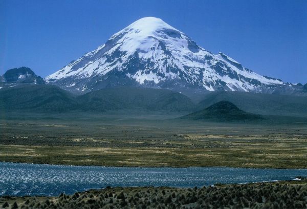
 Sajama, a stratovolcano considered extinct.
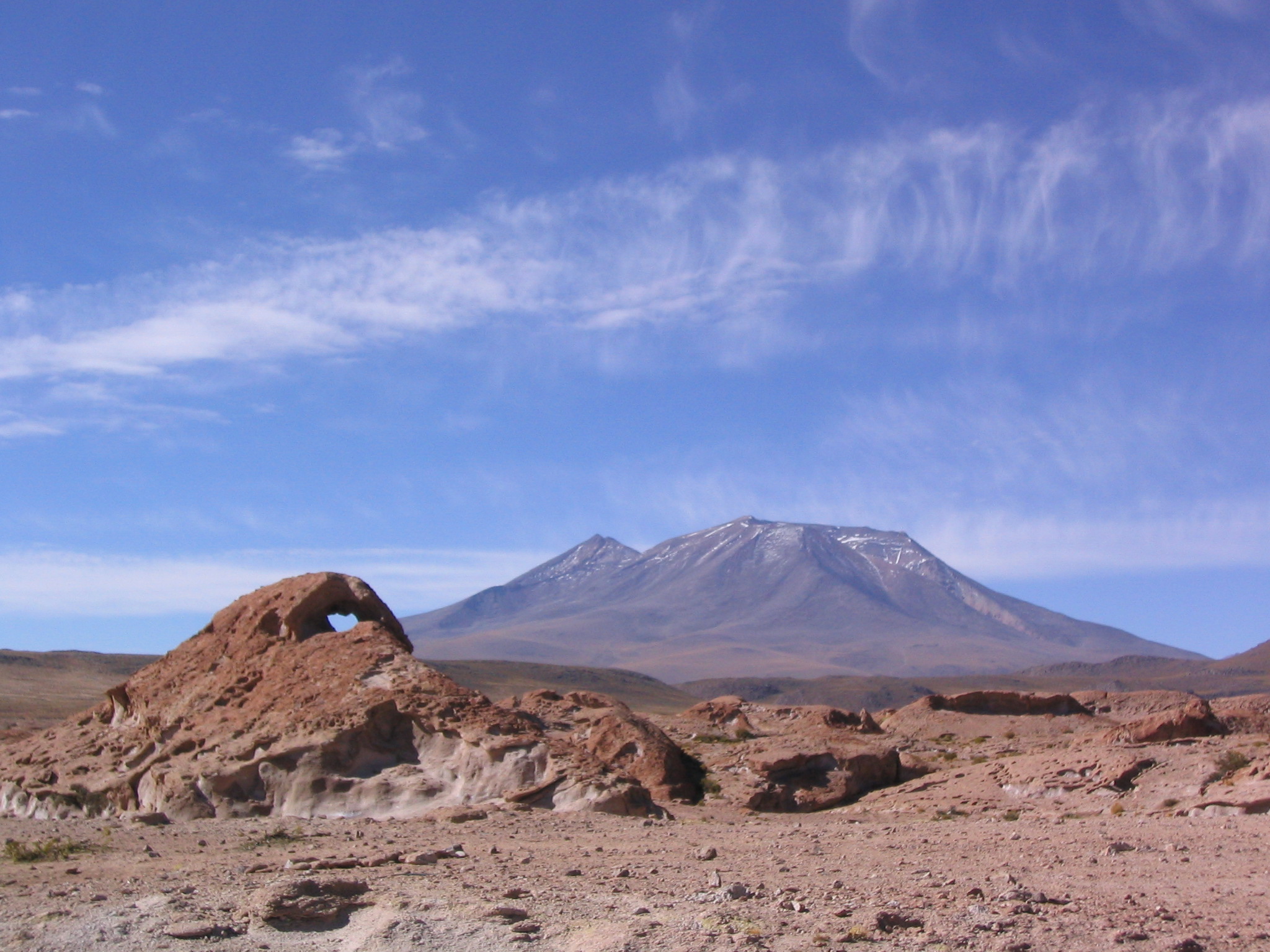
 View of Licancabur. The summit area is in Chile.
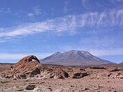 Ollagüe seen from Bolivia.
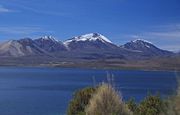 Acotango volcano seen from Chile.


This article needs additional citations for verification. (July 2007) |
See also
- List of glaciers in South America
- Lists of volcanoes
Notes
- In vulcanology and this article active volcanoes are those with Holocene eruption, that means eruptions in the last 10,000 years.
References
- Siebert L, Simkin T (2002–present). Volcanoes of the World: an Illustrated Catalog of Holocene Volcanoes and their Eruptions. Smithsonian Institution, Global Volcanism Program Digital Information Series, GVP-3 (http://www.volcano.si.edu).
- Baker, M.C.W; Francis, P.W (1978), "Upper Cenozoic volcanism in the Central Andes — Ages and volumes", Earth and Planetary Science Letters, 41 (2): 175, doi:10.1016/0012-821X(78)90008-0
На других языках
[de] Liste von Vulkanen in Bolivien
Die nachfolgende Liste verzeichnet aktive und erloschene Vulkane in Bolivien.- [en] List of volcanoes in Bolivia
[es] Anexo:Volcanes de Bolivia
Los volcanes activos de Bolivia se encuentran ubicados en la Cordillera Occidental sobre la frontera con Chile o cerca de ella. Los volcanes pertenecen a la Zona Volcánica Central de los Andes (ZVC).[fr] Liste des volcans de Bolivie
Cet article recense les volcans de Bolivie.Текст в блоке "Читать" взят с сайта "Википедия" и доступен по лицензии Creative Commons Attribution-ShareAlike; в отдельных случаях могут действовать дополнительные условия.
Другой контент может иметь иную лицензию. Перед использованием материалов сайта WikiSort.org внимательно изучите правила лицензирования конкретных элементов наполнения сайта.
Другой контент может иметь иную лицензию. Перед использованием материалов сайта WikiSort.org внимательно изучите правила лицензирования конкретных элементов наполнения сайта.
2019-2025
WikiSort.org - проект по пересортировке и дополнению контента Википедии
WikiSort.org - проект по пересортировке и дополнению контента Википедии