geo.wikisort.org - Mountains
Cerro Capurata, also known as Elena Capurata or Quimsachatas[3] is a stratovolcano in the Andes of Bolivia and Chile.[4] To the south of Capurata lies Cerro Casparata and straight west Guallatiri.[5]
| Cerro Capurata | |
|---|---|
| Elena Capurata, Nevados de Quimsachata | |
 Cerro Capurata is in the center. | |
| Highest point | |
| Elevation | 6,013 m (19,728 ft) |
| Prominence | 602[1] m (1,975 ft) |
| Parent peak | Acotango |
| Coordinates | 18°24′54″S 69°02′45″W |
| Geography | |
 Cerro Capurata Chile / Bolivia | |
| Countries | Chile and Bolivia |
| Parent range | Andes |
| Climbing | |
| First ascent | 7 October 1967 by Ignacio Morlans and Pedro Rosende[2] |
Geography and geomorphology
It is on the border of the Parinacota Province of Chile (Putre commune) and of the Bolivian province of Sajama (commune Turco).[1] Compared to Acotango and Humurata, Capurata's rocks are relatively well preserved. Some hydrothermal alteration, partly associated with fumarolic activity, is present however.[6] The total volume of the edifice is 19 cubic kilometres (4.6 cu mi)[7] and has been eroded by glaciers. The volcano is formed by lava domes, lava flows and pyroclastic flows.[8] Sulfur deposits formed by solfataras are also found on Capurata.[9] The west side of the mountain is covered with snow and ice.[10] Two crater depressions on the summit have an appearance that suggests a Holocene age.[8]
Incan Ruins and First Ascent

A 10 by 5 metres (33 ft × 16 ft) ruin towards the northern site of the summit. The structure was probably built by the Inkas and it was photographed by Pedro Hauck during his last ascent in 2014.[11] The first recorded climb is by Pedro Rosende and Ignacio Morlans (Chile) in 10/07/1967.[12][13]
Elevation
It has an official height of 5990 metres,[14][lower-alpha 1][lower-alpha 2] but handheld GPS devices have indicated that it is actually 6,013 metres (19,728 ft)[19] or 6,014 metres (19,731 ft) high.[11]
See also
- Salla Qullu
- List of mountains in the Andes
Notes
- Other data from digital elevation models: SRTM yields 5,979 metres (19,616 ft),[15] ASTER 5,992 metres (19,659 ft),[16] SRTM filled with ASTER5,979 metres (19,616 ft),[16] ALOS 5,992 metres (19,659 ft),[17] TanDEM-X 6,019 metres (19,747 ft).[18]
- The height of the nearest key col is 5,409 metres (17,746 ft),[1] leading to a topographic prominence of 602 metres (1,975 ft) with a topographical dominance of 12.08%. Its parent peak is Acotango and the Topographic isolation is 3.7 kilometres (2.3 mi).[1]
References
- "Capurata / Quimsachatas". Andes Specialists. Retrieved 2020-04-12.
- "South America: Patagonia" (PDF). Alpine Journal. Retrieved 10 April 2016.
- "Capurata / Quimsachatas 6011m". Andes Specialists (in Brazilian Portuguese). 2020-04-17. Retrieved 2021-08-11.
- Biggar, John (2020). The Andes a guide for climbers (5th ed.). Castle Douglas, Scotland. ISBN 978-0-9536087-7-5. OCLC 1260820889.
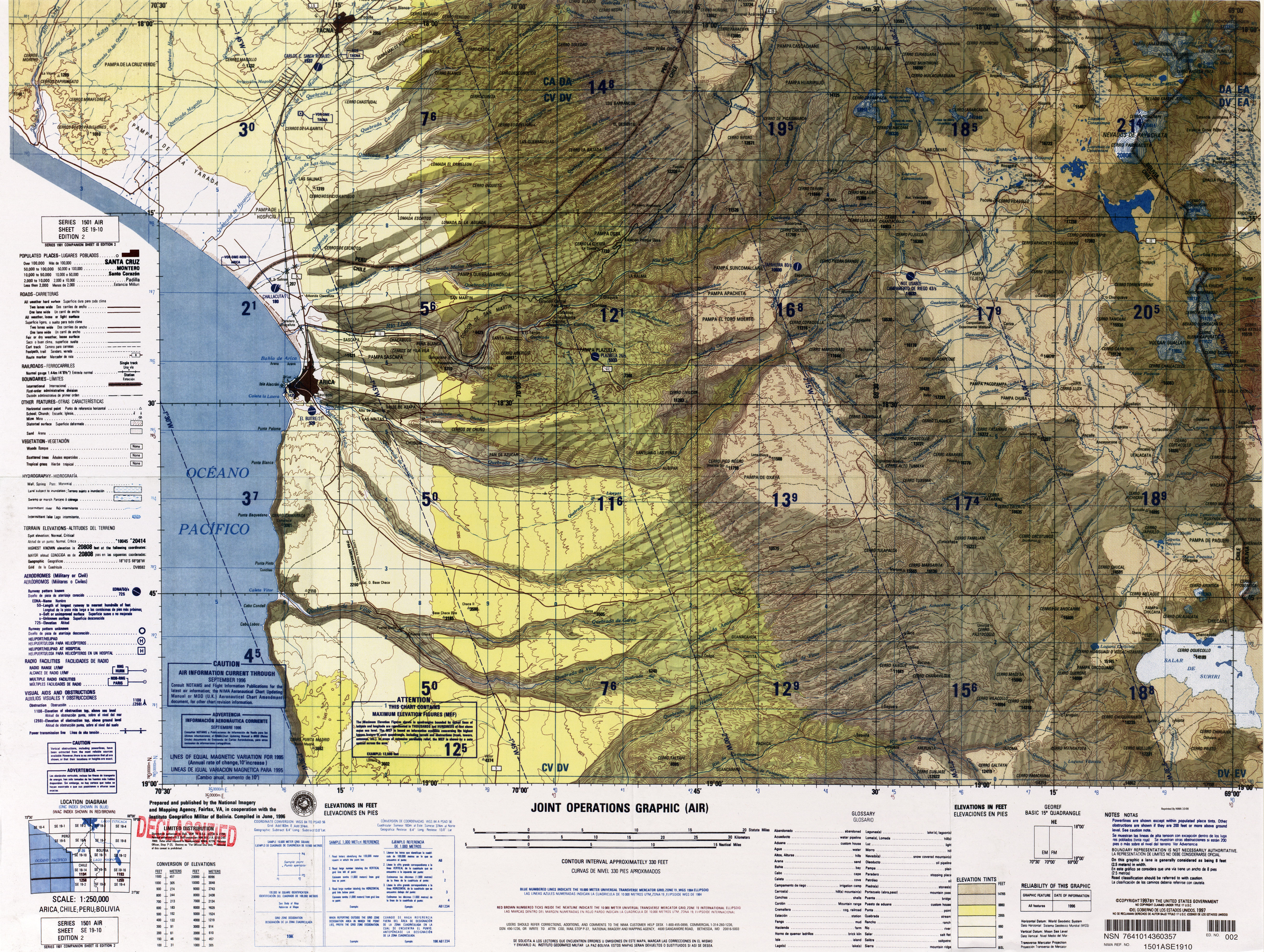
- "SE 19-10 Arica, Chile; Peru; Bolivia". Latin America, Joint Operations Graphic 1:250,000 [Not for navigational use]. University of Texas. Archived from the original on 4 March 2016. Retrieved 10 April 2016.
- Watts, Robert B.; Clavero Ribes, Jorge; Sparks, R. Stephen J. (30 September 2014). "Origen y emplazamiento del Domo Tinto, volcán Guallatiri, Norte de Chile". Andean Geology. 41 (3). doi:10.5027/andgeoV41n3-a04.
- Aravena, Diego; Villalón, Ignacio; Pablo, Sánchez. "Igneous Related Geothermal Resource in the Chilean Andes" (PDF). World Geothermal Congress 2015. Retrieved 10 April 2016.
- Gonzalez Ferran, O (1995). Volcanes de Chile (in Spanish). Instituto Geografico Militar. p. 122. OCLC 948099508.
- Avila-Salinas, Waldo (1991). "Petrologic and tectonic evolution of the Cenozoic volcanism in the Bolivian western Andes". Andean Magmatism and Its Tectonic Setting. Geological Society of America Special Papers. Vol. 265. p. 248. doi:10.1130/SPE265-p245. ISBN 0-8137-2265-9. ISSN 0072-1077.
- Ochsenius, Claudio (1986). "La Glaciación Puna durante el Wisconsin, Desglaciación y Máximo Lacustre en la Transición Wisconsin-Holoceno y Refugios de Megafauna Postglaciales en la Puna y Desierto de Atacama" (PDF). Revista de Geografía Norte Grande (in Spanish). 13: 36. Archived from the original (PDF) on 2016-03-04. Retrieved 10 April 2016.
- "Todas as montanhas de 6 mil metros da Bolívia". AltaMontanha (in Brazilian Portuguese). 2015-02-08. Retrieved 2020-04-13.
- Cerro Capurata, Northern Andes.
- "AAJ (American Alpine Journal)". AAJ (American Alpine Journal). 1969.
- Zeil, Werner (December 1964). "Die Verbreitung des jungen Vulkanismus in der Hochkordillere Nordchiles". Geologische Rundschau (in German). Springer Verlag. 53 (2): 751. Bibcode:1964GeoRu..53..731Z. doi:10.1007/BF02054561. ISSN 1432-1149. S2CID 128979648.
- USGS, EROS Archive. "USGS EROS Archive - Digital Elevation - SRTM Coverage Maps". Retrieved 12 April 2020.
- "ASTER GDEM Project". ssl.jspacesystems.or.jp. Retrieved 14 April 2020.
- "ALOS GDEM Project". Retrieved 14 April 2020.
- TanDEM-X, TerraSAR-X. "Copernicus Space Component Data Access". Retrieved 12 April 2020.
- "Maximo Kausch llega a la mitad de su proyecto andino y 'descubre' un nuevo seismil". Desnivel. 2 September 2013. Archived from the original on 23 April 2016. Retrieved 20 December 2016.
External links
На других языках
[de] Capurata
Der Capurata ist ein 6.039 m hoher Stratovulkan an der Grenze zwischen West-Bolivien und Nord-Chile. Er bildet zusammen mit den beiden Vulkanen Humarata sowie Acotango die Quimsachata-Vulkangruppe. Quimsachata bedeutet „drei“ in der Anden-Aymara-Sprache. Der Capurata ist der südöstlichste der drei Stratovulkane.- [en] Cerro Capurata
[it] Monte Cerro Capurata
Il Cerro Capurata è uno stratovulcano alto 5590 m s.l.m. Si trova tra la Bolivia occidentale e il Cile settentrionale. Appartiene al gruppo dei Nevados de Quimsachata, di cui è la sommità più meridionale.[ru] Серро-Капурата
Серро-Капурата (исп. Cerro Capurata), также известная как Elena Capurata,[1] — стратовулкан в Андах в Боливии и Чили. Официально зарегистрированная высота горы 5990 метров.[2] Несмотря на это две различные экспедиции зарегистрировали высоту вулкана более 6 000 метров, используя обычные устройства GPS (6013[3] и 6014[4]) Вершина Капураты покрыта льдом.[5] К югу от Капураты лежит Cerro Casparata и строго на запад Гуальятири.[1]Другой контент может иметь иную лицензию. Перед использованием материалов сайта WikiSort.org внимательно изучите правила лицензирования конкретных элементов наполнения сайта.
WikiSort.org - проект по пересортировке и дополнению контента Википедии