geo.wikisort.org - Mountains
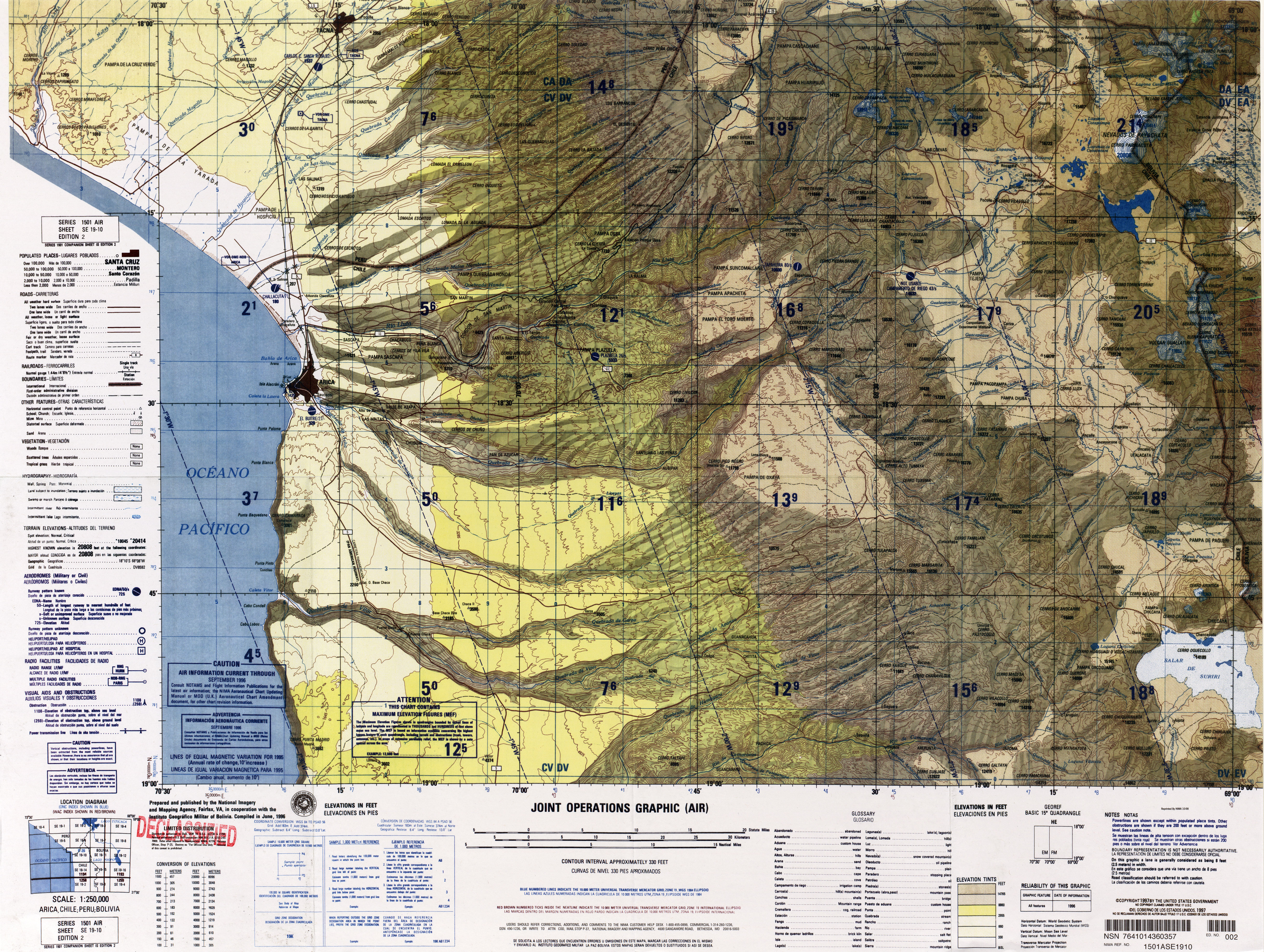
Umurata[2] is a mountain in the Andes, about 5,717 m (18,757 ft) high, situated in the Cordillera Occidental on the border of Bolivia and Chile. It is located in the Arica and Parinacota Region of Chile and in the Oruro Department of Bolivia, in the Sajama Province, Turku Municipality, Chachakumani Canton. Umurata lies south of the Uqi Uqini volcano, north of the Acotango and north-east of the Wallatiri volcano.[3] Argon-argon dating has yielded ages of 970,000±120,000 for Umurata rocks.[4] Umurata is situated south of National Route 4 near the Chungara-Tambo Quemado pass.
| Umurata | |
|---|---|
 Chungara-Tambo Quemado pass with the mountains Umurata, Acotango and Capurata in the background (from l. to r.) | |
| Highest point | |
| Elevation | 5,717 m (18,757 ft)[1] |
| Coordinates | 18°21′20″S 69°2′59″W |
| Geography | |
 Umurata Location in Bolivia, on the border with Chile | |
| Location | Bolivia-Chile |
| Parent range | Andes, Cordillera Occidental |
| Climbing | |
| First ascent | 1-1984 |
See also
- Capurata
- List of mountains in the Andes
References
- Jill Neate, Taken from Mountaineering in the Andes
- commons.wikimedia.org See map.
- Turku Municipality: population data and map
- Sepúlveda, José Pablo; Aguilera, Felipe; Inostroza, Manuel; Reyes, María Paz (April 2021). "Geological evolution of the Guallatiri volcano, Arica y Parinacota Region, northern Chile". Journal of South American Earth Sciences. 107: 4. doi:10.1016/j.jsames.2020.103117. ISSN 0895-9811.
This Arica y Parinacota Region location article is a stub. You can help Wikipedia by expanding it. |
На других языках
[de] Humarata
Der Humarata, auch Cerro Umurata, ist ein 5601 m[1] hoher Vulkan in der Provinz Sajama des Departamento Oruro im Westen von Bolivien. Er befindet sich im Grenzgebiet zwischen Bolivien und Chile. Zusammen mit dem Capurata (6039 m) und dem Acotango (6052 m) bildet er die Quimsachata-Vulkankette. Er ist deren nördlichster Gipfel. Der Zeitpunkt des letzten Ausbruchs ist nicht bekannt.- [en] Umurata
[fr] Humarata
L'Humarata, ou cerro Humarata, est — avec l'Acotango et le cerro Capurata — l'un des trois stratovolcans formant le groupe connu sous le nom de Nevados de Quimsachata et situés à la frontière entre la Bolivie et le Chili.Текст в блоке "Читать" взят с сайта "Википедия" и доступен по лицензии Creative Commons Attribution-ShareAlike; в отдельных случаях могут действовать дополнительные условия.
Другой контент может иметь иную лицензию. Перед использованием материалов сайта WikiSort.org внимательно изучите правила лицензирования конкретных элементов наполнения сайта.
Другой контент может иметь иную лицензию. Перед использованием материалов сайта WikiSort.org внимательно изучите правила лицензирования конкретных элементов наполнения сайта.
2019-2026
WikiSort.org - проект по пересортировке и дополнению контента Википедии
WikiSort.org - проект по пересортировке и дополнению контента Википедии