geo.wikisort.org - Mountains
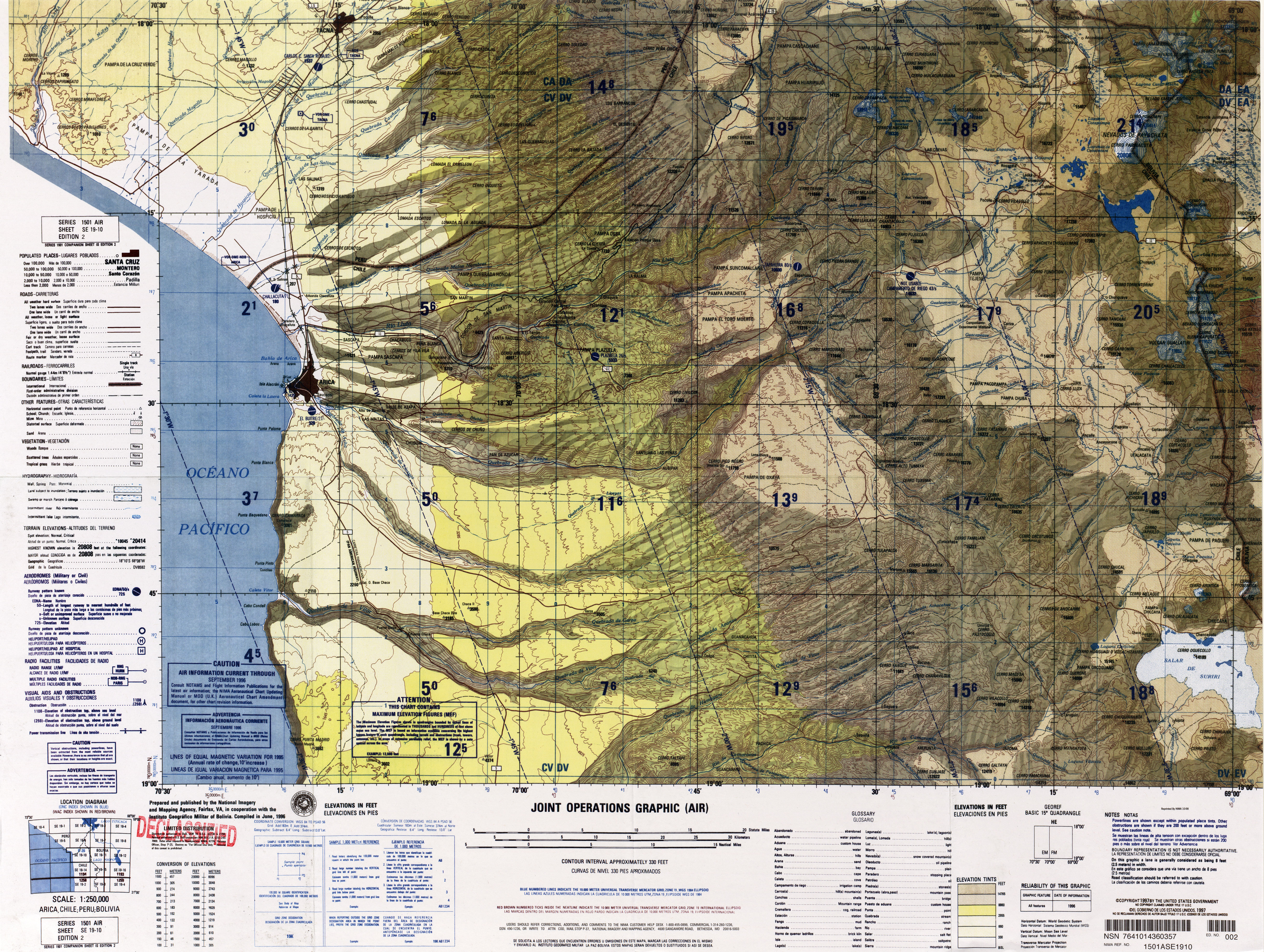
Uqi Uqini (Aymara uqi uqi a species of plant,[2] uqi brown, grey brown,[3] the reduplication indicates that there is a group or a complex of something, -ni a suffix to indicate ownership, "the one with the uqi uqi plant" or "the one with a complex of grey-brown color", Hispanicized spelling Oke Okeni) is a 5,532-metre-high (18,150 ft) volcano[4] in the Andes. It is situated in the Cordillera Occidental on the border of Bolivia and Chile. Uqi Uqini is located in the Arica and Parinacota Region of Chile and in the Oruro Department of Bolivia, in the Sajama Province, Turku Municipality, Chachakumani Canton.[5] Uqi Uqini lies south of National Route 4 near the Chungara-Tambo Quemado pass and north of Umurata, Acotango and Capurata.
| Uqi Uqini | |
|---|---|
 Chunkara Lake with Uqi Uqini (center-left) and Umurata (on the right) in the background | |
| Highest point | |
| Elevation | 5,532 m (18,150 ft)[1] |
| Coordinates | 18°19′23″S 69°02′17″W |
| Geography | |
 Uqi Uqini Location in Bolivia, on the border with Chile | |
| Location | Bolivia-Chile |
| Parent range | Andes, Cordillera Occidental |
Uqi Uqini is a twin volcano formed by andesite, dacite and rhyolite and is of Pleistocene age just like the volcanoes Kimsa Chata complex.[4]
See also
- List of mountains in the Andes
References
- BIGM map 1:50,000 Quisi Quisini Hoja 5739-II
- Gabriel Martínez, Toponimos de Chuani: Organisación y significación del Territorio (in Spanish)
- Radio San Gabriel, "Instituto Radiofonico de Promoción Aymara" (IRPA) 1993, Republicado por Instituto de las Lenguas y Literaturas Andinas-Amazónicas (ILLLA-A) 2011, Transcripción del Vocabulario de la Lengua Aymara, P. Ludovico Bertonio 1612 (Spanish-Aymara-Aymara-Spanish dictionary)
- Vargas-Mattos, Gabriela; Geraldes, Mauro Cesar; Salinas, Ramiro Matos (25 August 2016). "RECONSTRUCCIÓN GEOLÓGICA DEL VOLCÁN CHULLCANI (MIOCENO SUPERIOR A PLIOCENO SUPERIOR): CONSIDERACIONES GENERALES SOBRE GEOQUÍMICA Y EDAD DE LAS FASES VOLCÁNICAS, ANDES CENTRALES DE BOLIVIA". Revista Brasileira de Geociências (in Spanish). 36 (4): 712–723. ISSN 0375-7536.
- Turku Municipality: population data and map
This Arica y Parinacota Region location article is a stub. You can help Wikipedia by expanding it. |
На других языках
- [en] Uqi Uqini
[ru] Уки-Укини
Уки-Укини (айм. uqi uqi (название растения)[2], uqi (коричневый, серо-коричневый)[3][* 1], испанизированное написание Oke Okeni) — вулкан высотой 5532 метра[4] в Андах. Он расположен в Западной Кордильере на границе Боливии и Чили. Уки-Укини расположен в регионе Арика-и-Паринакота в Чили и в департаменте Оруро в Боливии, в провинции Сахама, муниципалитет Турку, кантон Чачакумани[5]. Уки-Укини находится к югу от национального шоссе номер 4 около перевала Чунгара-Тамбо-Кемадо и к северу от гор Умурата[en], Акотанго и Капурата.Другой контент может иметь иную лицензию. Перед использованием материалов сайта WikiSort.org внимательно изучите правила лицензирования конкретных элементов наполнения сайта.
WikiSort.org - проект по пересортировке и дополнению контента Википедии