geo.wikisort.org - Mountains
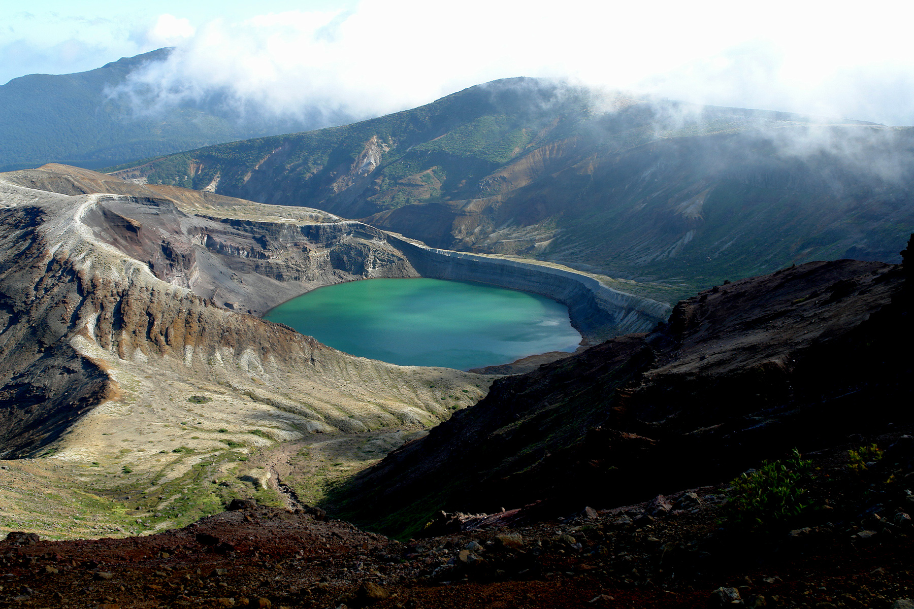
The Zaō Mountains (蔵王連峰, Zaō Renpō), commonly called Mount Zaō, are a complex cluster of stratovolcanoes on the border between Yamagata Prefecture and Miyagi Prefecture in Japan. The central volcano of the group includes several lava domes and a tuff cone, Goshiki-dake, which contains a crater lake named "Okama" (御釜). Also known as the "Five Color Pond" (五色沼, goshiki numa) because it changes color depending on the weather, it lies in a crater formed by a volcanic eruption in the 1720s. The lake is 360 metres (1,200 ft) in diameter and 60 m (200 ft) deep, and is one of the main tourist attractions in the area.
| Zaō Mountains | |
|---|---|
| 蔵王連峰 | |
 The Zaō Mountains as seen from the Shiroishi River, an Abukuma River tributary, at the cherry blossom season | |
| Highest point | |
| Elevation | 1,841 m (6,040 ft) |
| Coordinates | 38°08′28″N 140°26′35″E |
| Geography | |
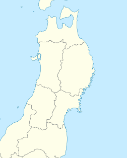  Zaō Mountains Honshu, Japan | |
| Geology | |
| Mountain type | Complex volcano |
| Last eruption | May 1940 |
 | |
One striking feature of Zaō's famous ski resorts is the "snow monsters"[citation needed] (樹氷, Juhyō) that appear in mid-winter. Strong wind over the nearby lake fling water droplets which freeze against the trees and their branches, until near-horizontal icicles begin to form. Falling snow settles on the ice formations, and the end result is a grotesque figure of a tree. The effect of a full forest of such trees gives visitors a ghostly impression. Zaō is one of the 100 famous mountains in Japan.
Rotaria rotatoria[1] and Pinnularia spp.[2] are found in the acidic Okama Lake.[3]
 Relief Map
 Okama Crater
 Okama Crater
 Snow monsters
 View from Mount Zao in winter



See also
- List of mountains in Japan
- List of volcanoes in Japan
- Snow country (Japan)
- Zaō Ropeway
References
- Deneke, Rainer (2000). "Review of rotifers and crustaceans in highly acidic environments of pH values ≤ 3". Hydrobiologia. 433 (1–3): 167–172. doi:10.1023/a:1004047510602. S2CID 25056334.
- Negoro, K (1940). "A Pinnularia from Okama, an acidotrophic crater lake of volcano Zao". Jpn. J. Limnol. 9: 176–179. doi:10.3739/rikusui.9.176.
- Anzai, T (1938). "Limnological observation of Okama, a crater lake of Volcano Zaō". Jpn. J. Limnol. 8 (3–4): 264–272. doi:10.3739/rikusui.8.3-4_264.
External links

- "Zaozan [Zaosan]". Global Volcanism Program. Smithsonian Institution.
- "English Travel information on Mt. Zao".(in English)
- Zaozan - Japan Meteorological Agency (in Japanese)
- "Zaozan: National catalogue of the active volcanoes in Japan" (PDF). - Japan Meteorological Agency
- Zao - Geological Survey of Japan (in Japanese)
- Zaozan - Smithsonian Institution: Global Volcanism Program
| Hokkaidō | |||||||||
|---|---|---|---|---|---|---|---|---|---|
| Tōhoku region Jōshinetsu region |
| ||||||||
| Kantō region | |||||||||
| Chūbu region |
| ||||||||
| Western Japan | |||||||||
| |||||||||

| Authority control: National libraries |
|---|

 | This article about a location in Yamagata Prefecture is a stub. You can help Wikipedia by expanding it. |
 | This Miyagi Prefecture location article is a stub. You can help Wikipedia by expanding it. |
На других языках
[de] Zaō
Der Zaō (jap. 蔵王山, Zaō-san) ist ein komplexer Vulkan auf der Grenze zwischen der Präfektur Yamagata und der Präfektur Miyagi in Japan. An seinem Fuß liegt der Ort Zaō-Onsen.- [en] Mount Zaō
[fr] Mont Zaō
Le mont Zaō (蔵王山, Zaō-san?) est un volcan du parc quasi national de Zaō, situé à cheval sur les deux préfectures de Yamagata et de Miyagi, sur l'île de Honshū, au Japon. Cette montagne de l'arc volcanique Nord-Est du Japon supporte plusieurs pics dont le mont Kumano, son point culminant à 1 841 m, et sa caldeira sommitale contient un lac dont la couleur de l'eau varie selon les conditions climatiques.Другой контент может иметь иную лицензию. Перед использованием материалов сайта WikiSort.org внимательно изучите правила лицензирования конкретных элементов наполнения сайта.
WikiSort.org - проект по пересортировке и дополнению контента Википедии