geo.wikisort.org - Mountains
Mount Hayachine (早池峰山, Hayachine-san) is the highest mountain in the Kitakami Range, located in the Tōhoku region of northern Honshū, Japan. With an elevation of 1,917 m (6,289 ft), it is the second highest in Iwate Prefecture after Mount Iwate. Mount Hayachine is mentioned in 100 Famous Japanese Mountains, a book written in 1964 by Kyūya Fukada.[1] The mountain is on the borders of the municipalities of Hanamaki, Tōno, and Miyako, east of the prefectural capital of Morioka.
| Mount Hayachine | |
|---|---|
 Mount Hayachine from the south in November 2009 | |
| Highest point | |
| Elevation | 1,913.6 m (6,278 ft) |
| Listing | 100 Famous Mountains of Japan |
| Coordinates | 39°33′30″N 141°29′20″E |
| Geography | |
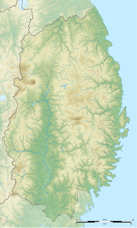 Mount Hayachine Tōhoku region, Honshū, Japan  Mount Hayachine Mount Hayachine (Japan) | |
| Parent range | Kitakami Mountains |
| Climbing | |
| Easiest route | Hiking |
Outline
Mount Hayachine is composed of peridotite olivine and serpentine rock, and is unusual in that it lies farther east than other large mountains on Honshū, and is geologically part of the oldest formation in Japan. There are many alpine plants and flower species that are endemic to the area. It is also the southernmost location for the Sakhalin Spruce. For these reasons, 1370 hectares were declared a Special Nature Conservation Area on May 17, 1975 by the national government. On June 10, 1982 an additional 5463 hectares became Hayachine Quasi-National Park.[2][3]
See also
- List of Special Places of Scenic Beauty, Special Historic Sites and Special Natural Monuments
References
- Hyakumeizan, Hiking Japan! Archived 2007-01-09 at the Wayback Machine. Japan Gazetteer. Accessed June 27, 2008.
- "List of Quasi-National Parks" (PDF). Ministry of the Environment. Retrieved 29 February 2012.
- "Natural Parks of Iwate Prefecture" (in Japanese). Iwate Prefecture. Archived from the original on 27 September 2013. Retrieved 29 February 2012.
External links
| Hokkaidō | |||||||||
|---|---|---|---|---|---|---|---|---|---|
| Tōhoku region Jōshinetsu region |
| ||||||||
| Kantō region | |||||||||
| Chūbu region |
| ||||||||
| Western Japan | |||||||||
| |||||||||
Authority control | |
|---|---|
| General | |
| National libraries | |
This Iwate Prefecture location article is a stub. You can help Wikipedia by expanding it. |
На других языках
- [en] Mount Hayachine
[fr] Mont Hayachine
Le mont Hayachine (早池峰山, Hayachine-san?) est une montagne du Japon située dans le Nord du pays, sur l'île de Honshū, dans la région de Tōhoku. Point culminant des monts Kitakami avec 1 917 mètres d'altitude, elle fait partie des 100 montagnes célèbres du Japon.Другой контент может иметь иную лицензию. Перед использованием материалов сайта WikiSort.org внимательно изучите правила лицензирования конкретных элементов наполнения сайта.
WikiSort.org - проект по пересортировке и дополнению контента Википедии