geo.wikisort.org - Mountains
Jabal Sawda (Arabic: جَبَل ٱلسُّوْدَة jabal as-sūda, pronounced [dʒabal asːuːda]) is a peak located in Saudi Arabia, with a claimed elevation of 3,133 metres (10,279 ft), on the basis of which it is claimed to be the highest point in Saudi Arabia.[2]
This article needs additional citations for verification. (October 2017) |
| Jabal Sawda | |
|---|---|
 | |
| Highest point | |
| Elevation | 2,999 m (9,839 ft) |
| Coordinates | 18°16′00″N 42°22′06″E[1] |
| Naming | |
| Native name | جَبَل ٱلسُّوْدَة (in Arabic) |
| Geography | |
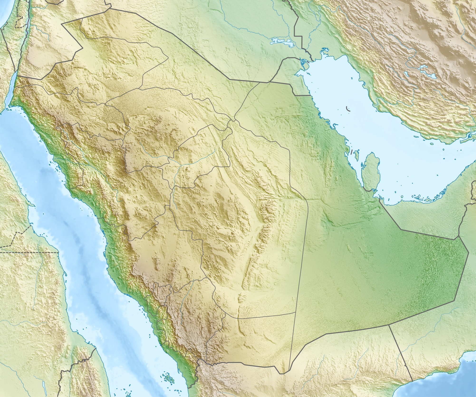 Jabal Sawda Saudi Arabia | |
| Parent range | Asir Mountains |
In a 2018 GPS survey the peak's elevation was measured at a lower 2,998.7 m (9,838 ft) altitude this is 2.9 m (9 ft 6 in) lower than that of Jabal Ferwa another Saudi Arabian peak further to the east, at 17.928547°N 43.265528°E. [3][unreliable source?] These elevations are both consistent with public domain SRTM data.
The village of Al Souda is located nearby. The town is a tourist centre and has a cable car[4] to the top of the mountain.[5]
Climate
| Climate data for Sawda (2,946 metres or 9,665 feet) | |||||||||||||
|---|---|---|---|---|---|---|---|---|---|---|---|---|---|
| Month | Jan | Feb | Mar | Apr | May | Jun | Jul | Aug | Sep | Oct | Nov | Dec | Year |
| Average high °C (°F) | 14.8 (58.6) |
16.1 (61.0) |
18.0 (64.4) |
20.2 (68.4) |
22.8 (73.0) |
25.9 (78.6) |
24.8 (76.6) |
24.5 (76.1) |
24.0 (75.2) |
20.0 (68.0) |
17.0 (62.6) |
15.2 (59.4) |
20.3 (68.5) |
| Daily mean °C (°F) | 8.2 (46.8) |
9.4 (48.9) |
11.5 (52.7) |
13.3 (55.9) |
15.7 (60.3) |
18.2 (64.8) |
18.3 (64.9) |
18.2 (64.8) |
16.3 (61.3) |
12.6 (54.7) |
9.8 (49.6) |
8.2 (46.8) |
13.3 (55.9) |
| Average low °C (°F) | 1.7 (35.1) |
2.7 (36.9) |
5.1 (41.2) |
6.5 (43.7) |
8.6 (47.5) |
10.5 (50.9) |
11.8 (53.2) |
12.0 (53.6) |
8.6 (47.5) |
5.2 (41.4) |
2.7 (36.9) |
1.2 (34.2) |
6.4 (43.5) |
| Average precipitation mm (inches) | 18 (0.7) |
40 (1.6) |
63 (2.5) |
70 (2.8) |
28 (1.1) |
7 (0.3) |
29 (1.1) |
46 (1.8) |
8 (0.3) |
4 (0.2) |
10 (0.4) |
9 (0.4) |
332 (13.1) |
| Source: Climate-data.org | |||||||||||||
See also
- Geology of Saudi Arabia
- Geography of Saudi Arabia
- List of elevation extremes by country
- Wildlife of Saudi Arabia
References
- "Saudi Arabia – Jabal Ferwa". 4 October 2018.
- Wynbrandt, James (14 May 2014). "Appendix 2: Basic facts about Saudi Arabia". A Brief History of Saudi Arabia. New York City: Infobase Publishing. p. 294. ISBN 978-1-4381-0830-8.
- Gilbertson, Eric and Matthew (18 August 2018), Jabal Ferwa, retrieved 21 November 2019
- "Habla draws adventure lovers in droves". Saudi Gazette. Abha. 18 July 2018. Retrieved 14 January 2019.
- "Mt. Al Souda Cable Car - Cable Car, Abha Traveller Reviews". Tripadvisor. Retrieved 5 January 2022.
External links
- (in English) "Jabal Sawdā', Saudi Arabia". Peakbagger.com.
Hills and mountains on the Arabian Peninsula | ||
|---|---|---|

 | ||
Note: Mountains are sorted in alphabetical order, unless where it concerns ranges. The highest confirmed mountains in each country are indicated with 'HP', and those with the highest peak are indicated with 'HP', bearing in mind that in the UAE, the highest mountain and the mountain with the highest peak are different. Outcrops are indicated with 'OC', and outliers with 'OL', and anticlines with 'AC'. Volcanoes are indicated with 'V', volcanic craters with 'VC', lava fields with 'LF', and volcanic fields with 'VF'.
Other notes:
| ||


This article about the geography of Saudi Arabia is a stub. You can help Wikipedia by expanding it. |
На других языках
[de] Dschabal Sauda
Der Dschabal Sauda (2998,7 m; arabisch جبل السودة, DMG Ǧabal as-Sauda) ist ein Berg in Saudi-Arabien. Oft wird er als höchster Berg des Landes angesehen, jedoch haben neuere Messungen ergeben, dass der etwa 100 km südöstlich gelegene Dschabal Ferwaʿ wohl der höhere der beiden Berge ist.[1]- [en] Jabal Sawda
[es] Jabal Sawda
Jabal Sawda[1] es un pico situado en Arabia Saudita,[2] con una altitud de unos 3000 metros (9843 pies).[fr] Jabal Sawda
Le jabal Sawda est une montagne d'Arabie saoudite. Il se situe à une altitude d'environ 3 000 mètres dans la province d'Asir. La plupart des autorités déclarent que le sommet culmine à une altitude de 3 133 mètres et est le point culminant de l'Arabie saoudite, mais les données de la SRTM indiquent une altitude de 2 985 mètres, et montrent la présence de points plus élevés à divers endroits du pays.[it] Jebel Sawda
Il Jebel Sawda (in lingua araba السودة) è una montagna dell'Arabia Saudita e rappresenta il punto più elevato del Paese, con un'altitudine di 3133 metri s.l.m. La montagna si trova nella regione sud-occidentale del Paese.Другой контент может иметь иную лицензию. Перед использованием материалов сайта WikiSort.org внимательно изучите правила лицензирования конкретных элементов наполнения сайта.
WikiSort.org - проект по пересортировке и дополнению контента Википедии