geo.wikisort.org - Mountains
Pagon (Malay: Bukit Pagon) is the highest mountain in Brunei. It is situated on the border with Malaysia on the island of Borneo. Pagon Hill is located in the Temburong District of Brunei. This district is separated from the rest of Brunei by part of the Sarawak State of Malaysia.
| Pagon Hill | |
|---|---|
 Pagon Hill, view east from ridge | |
| Highest point | |
| Elevation | 1,850 m (6,070 ft)[1] |
| Listing | Country high point |
| Coordinates | 4°17′40″N 115°19′20″E[1] |
| Naming | |
| Native name | Bukit Pagon (Malay) |
| Geography | |
 Pagon Hill Location in Brunei 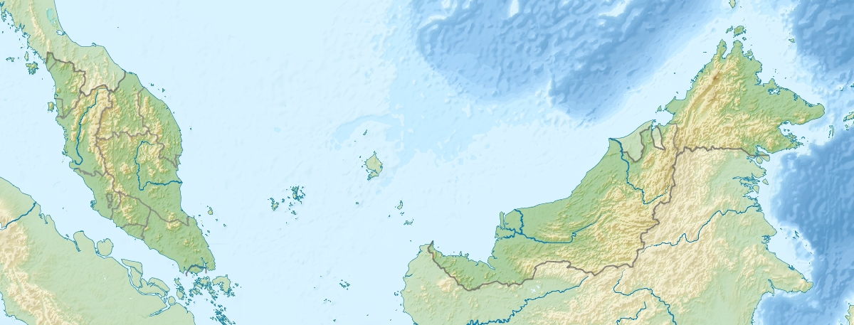 Pagon Hill Pagon Hill (Malaysia) | |
| Country | Brunei and Malaysia |
| Districts of Brunei | Temburong |
| States of Malaysia | Sarawak |
| Mukim or Division | Amo and Limbang |
The pitcher plant species Nepenthes lowii can be found on the slopes of this mountain.[2]
See also
- List of elevation extremes by country
References
- "Bukit Pagon". Peakbagger.com. Retrieved 1 October 2011.
- Phillipps, A. & A. Lamb 1996. Pitcher-Plants of Borneo. Natural History Publications (Borneo), Kota Kinabalu.
External links
- "Bukit Pagon, Brunei". Peakbagger.com.
This Brunei location article is a stub. You can help Wikipedia by expanding it. |
This Sarawak location article is a stub. You can help Wikipedia by expanding it. |
На других языках
[de] Bukit Pagon
Der Bukit Pagon auf der asiatischen Insel Borneo ist mit einer Höhe von 1850 m der höchste Berg von Brunei. Sein Gipfel liegt auf der Grenze zwischen Brunei (Distrikt Temburong) und Malaysia. Der Bukit Pagon liegt im Primärwald und ist Teil des etwa 500 km² großen Ulu-Temburong-Nationalpark.- [en] Pagon Hill
[es] Bukit Pagon
Bukit Pagon es la montaña más alta de Brunéi. Está situada en la frontera con Malasia en la isla de Borneo. Bukit Pagon está localizada en el distrito de Temburong de Brunéi. Este barrio está separado del resto de Brunéi por parte del Estado de Sarawak de Malasia.[fr] Bukit Pagon
Bukit Pagon est une montagne située sur l'île de Bornéo, à la frontière entre le Brunei, dont elle constitue le point culminant, et la Malaisie. Elle se trouve en limite du district brunéien de Temburong, qui est séparé du reste du pays par une partie de l'État malaisien de Sarawak.[ru] Букит-Пагон
Буки́т-Паго́н (малайск. Bukit Pagon, буквально «холм Пагон») — гора в северо-восточной части острова Калимантан. Высота вершины над уровнем моря — 1850 метров. Находится на границе между Малайзией и Брунеем, является высочайшей точкой территории последнего. На северном склоне горы берёт начало река Тембуронг, одна из основных водных артерий Брунея.Текст в блоке "Читать" взят с сайта "Википедия" и доступен по лицензии Creative Commons Attribution-ShareAlike; в отдельных случаях могут действовать дополнительные условия.
Другой контент может иметь иную лицензию. Перед использованием материалов сайта WikiSort.org внимательно изучите правила лицензирования конкретных элементов наполнения сайта.
Другой контент может иметь иную лицензию. Перед использованием материалов сайта WikiSort.org внимательно изучите правила лицензирования конкретных элементов наполнения сайта.
2019-2026
WikiSort.org - проект по пересортировке и дополнению контента Википедии
WikiSort.org - проект по пересортировке и дополнению контента Википедии