geo.wikisort.org - Mountains
Bukit Timah Hill, located in its namesake district of Bukit Timah, is a hill located near the geographical centre of Singapore. The hill stands at an altitude of 164 metres (538 ft) above sea level, making it the highest natural peak in the country.[1][2] The highest point in Singapore, however, is the 284 metre Guoco Tower, one of numerous buildings taller than the hill.
| Bukit Timah Hill | |
|---|---|
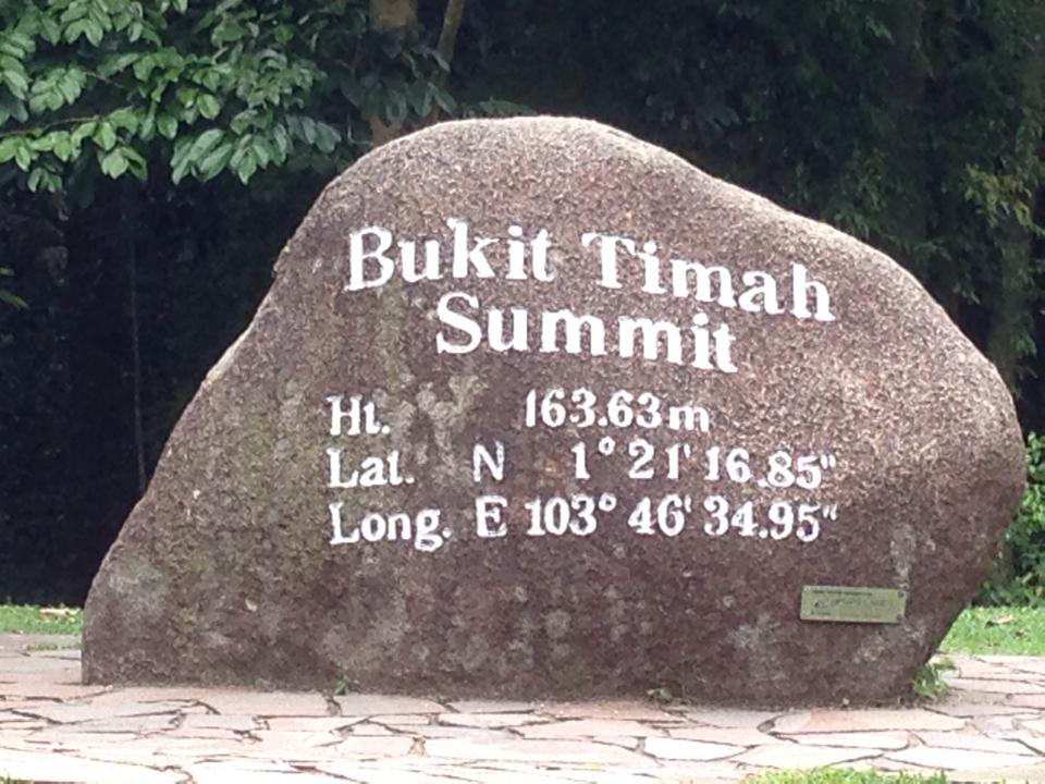 The marker at the summit of Bukit Timah, the highest natural point in Singapore. | |
| Highest point | |
| Elevation | 164 m (538 ft) |
| Prominence | 164 m (538 ft) |
| Listing | Country highest point |
| Coordinates | 1°21′16.85″N 103°46′34.95″E |
| Naming | |
| English translation | "Tin-bearing hill" |
| Language of name | Malay Singapore English |
| Geography | |
 Bukit Timah Hill Singapore | |
| Geology | |
| Mountain type | Hill |
The summit, which features a pair of 60 m (200 ft) VHF steel lattice radio masts built in the 1960s,[3] is accessible by several walking trails and a paved maintenance road not open to the public. The hill is now protected as part of the Bukit Timah Nature Reserve, which has been classified as an ASEAN Heritage Park.
Climate
This section needs additional citations for verification. (December 2021) |
Bukit Timah Hill features a tropical rainforest climate (Köppen Af) and has a mix of both wet and dry seasons.
Due to its moderate elevation, the weather is much cooler than the rest of Singapore and strong winds commonly occur at the peak. The daily temperature range is between 16–31 °C (60–85 °F).
The dry season runs from April to August, during which, there is generally less rainfall and warmer temperatures. The wet season runs from September to March, during which, there is more frequent rainfall and cooler temperatures.
The average annual rainfall is 2810 mm (110.63 in). The average annual daily mean temperature is 26.4 °C (79.52 °F). The coolest month is January, where the average daily mean temperature is 25.6 °C (78.08 °F). The minimum temperature may dip below 20.8 °C (69.44 °F) during rainy days in January. The warmest month is July, where the average daily mean temperature is 28.3 °C (82.94 °F).
See also
- Bukit Timah Nature Reserve
- List of elevation extremes by country
References
- Bukit Timah Nature Reserve – Host The Highest Mountain in The Singapore, SingaporeSights.com, accessed October 2009. Archived March 29, 2009, at the Wayback Machine
- Lye Lin Heng (1991). "Wildlife Protection Laws in Singapore". Singapore Journal of Legal Studies: 288. JSTOR 24865805.
- "Provision of Radio Masts and Towers - VHF Station, Bukit …". www.nas.gov.sg.
| Authority control |
|
|---|
На других языках
[de] Bukit Timah (Hügel)
Der Bukit Timah (malaiisch für „Zinnhügel“) ist mit einer Höhe von 163,6 m die höchste Erhebung in Singapur.[1] Der Hügel liegt nahe dem geographischen Zentrum des Stadtstaates. Unter anderem ist es Teil des Bukit-Timah-Reservates.- [en] Bukit Timah Hill
[es] Bukit Timah
Bukit Timah es una colina en Singapur que posee una elevación de 163,63 metros, siendo el punto más alto en la ciudad-estado de Singapur.[1] Bukit Timah está situado cerca del centro de la isla principal de Singapur.[fr] Bukit Timah
Bukit Timah (la « colline de l'étain » en malais) est une colline de 163,63 mètres située au centre de Pulau Ujong, la principale île de Singapour. Il s'agit du point culminant de cette cité-État. Ses pentes sont occupées par la réserve naturelle de Bukit Timah.[ru] Букит-Тимах
Букит-Тимах (Буки́т Тима́, малайск. Bukit Timah; кит. трад. 武吉知马, пиньинь Wǔjízhīmǎ) — холм в Сингапуре высотой 163,63 метров (по другим данным 176[1] м), высшая точка Сингапура[2]. Расположен в центре острова, на котором расположено государство Сингапур.Другой контент может иметь иную лицензию. Перед использованием материалов сайта WikiSort.org внимательно изучите правила лицензирования конкретных элементов наполнения сайта.
WikiSort.org - проект по пересортировке и дополнению контента Википедии