geo.wikisort.org - Mountains
Ben Gorm (Irish: An Bhinn Ghorm, meaning 'the blue peak')[2] is a 700 m high mountain in southwest County Mayo, Ireland, on the northern shore of Killary Harbour.
| Ben Gorm | |
|---|---|
| An Bhinn Ghorm | |
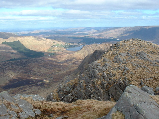
 Doolough looking southeast towards Ben Gorm | |
| Highest point | |
| Elevation | 700 m (2,300 ft)[1] |
| Prominence | 670 m (2,200 ft)[1] |
| Listing | P600, Marilyn, Hewitt |
| Coordinates | 53.625°N 9.720°W |
| Geography | |
 Ben Gorm County Mayo, Ireland | |
| OSI/OSNI grid | L861652 |
See also
![]() Media related to Ben Gorm, County Mayo at Wikimedia Commons
Media related to Ben Gorm, County Mayo at Wikimedia Commons
- Lists of mountains in Ireland
- Lists of mountains and hills in the British Isles
- List of P600 mountains in the British Isles
- List of Marilyns in the British Isles
- List of Hewitt mountains in England, Wales and Ireland
References
- mountainviews.ie Ben Gorm Mountains Area, Ben Gorm
- "An Bhinn Ghorm/Ben Gorm". Logainm.ie. Retrieved 24 August 2021.
| British Isles |  | |
|---|---|---|
| Scotland | ||
| Outside Scotland | ||
| England | ||
| Ireland | ||
| County tops |
| |
Most prominent mountains of Britain and Ireland (the P600s) | ||
|---|---|---|
| Northern Highlands (20) |    | |
| Western Highlands (20) | ||
| Central and Eastern Highlands (13) | ||
| Southern Highlands (15) |
| |
| Islands (13) | ||
| Scottish Lowlands, England and Wales (13) | ||
| Republic of Ireland, Northern Ireland (25) | ||
Mountains and hills of Connacht | |||||||
|---|---|---|---|---|---|---|---|
List of mountains in Ireland | |||||||
| Achill Island |  | ||||||
| Curlew Mountains | |||||||
| Dartry Mountains | |||||||
| Maumturks | |||||||
| Mweelrea Mountains |
| ||||||
| Nephin Range | |||||||
| Ox Mountains | |||||||
| Partry Mountains | |||||||
| Sheeffry Range | |||||||
| Twelve Bens |
| ||||||
| Others | |||||||
This article related to the geography of County Mayo, Ireland is a stub. You can help Wikipedia by expanding it. |
Текст в блоке "Читать" взят с сайта "Википедия" и доступен по лицензии Creative Commons Attribution-ShareAlike; в отдельных случаях могут действовать дополнительные условия.
Другой контент может иметь иную лицензию. Перед использованием материалов сайта WikiSort.org внимательно изучите правила лицензирования конкретных элементов наполнения сайта.
Другой контент может иметь иную лицензию. Перед использованием материалов сайта WikiSort.org внимательно изучите правила лицензирования конкретных элементов наполнения сайта.
2019-2026
WikiSort.org - проект по пересортировке и дополнению контента Википедии
WikiSort.org - проект по пересортировке и дополнению контента Википедии