geo.wikisort.org - Mountains
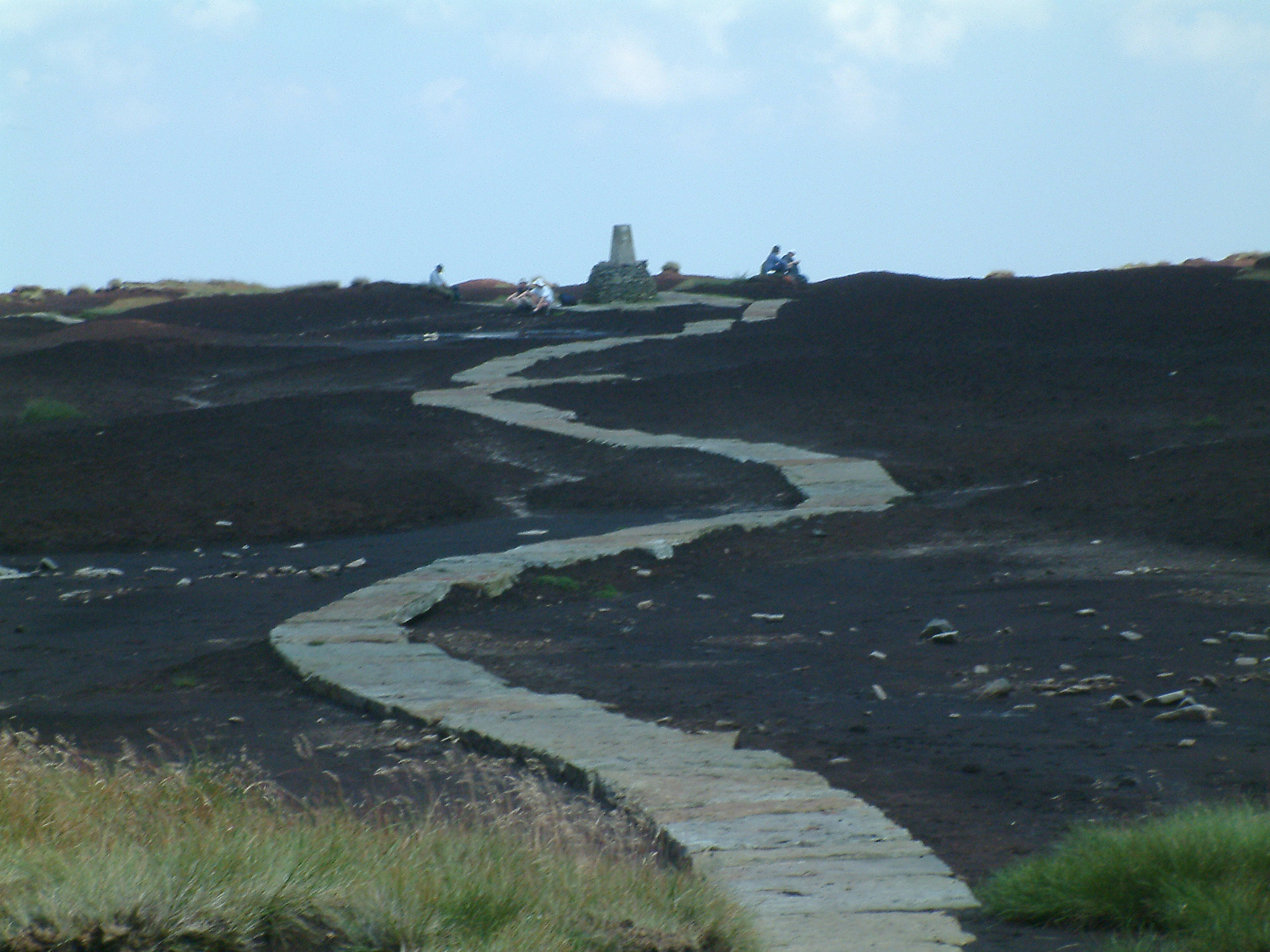
The Ethels are 95 hills in the Peak District of England, mostly over 400 m (1,300 ft) above sea level but including various prominent lower hills. The Ethels are a tribute to Ethel Haythornthwaite who pioneered the establishment of the Peak District as Britain's first national park in 1951.[1]


The Peak District and South Yorkshire branch of the CPRE countryside charity announced The Ethels in May 2021. The Ethels were devised in early 2021 by CPRE volunteer Doug Colton, who then built the Ethel Ready smartphone app for hill bagging.[2][3]
Most of the Ethels lie within the Peak District National Park, but others lie outside its borders. The list is sorted by height above sea level. Marilyns are marked in boldface.[4][5][6]
| Name | Height (m) | Prominence (m) | Grid reference | County |
|---|---|---|---|---|
| Kinder Scout | 636 | 497 | SK084875 | Derbyshire |
| Bleaklow | 633 | 128 | SK094960 | Derbyshire |
| Higher Shelf Stones | 621 | 15 | SK089948 | Derbyshire |
| Grindslow Knoll | 601 | 15 | SK110868 | Derbyshire |
| Black Hill | 582 | 165 | SE078046 | Derbyshire / West Yorkshire |
| Brown Knoll | 569 | 36 | SK083851 | Derbyshire |
| Shining Tor | 559 | 236 | SJ994737 | Cheshire / Derbyshire |
| Axe Edge Moor | 551 | 84 | SK035706 | Derbyshire |
| High Stones (Howden Edge) | 550 | 62 | SK187943 | South Yorkshire |
| Lord's Seat (Rushup Edge) | 550 | 62 | SK111834 | Derbyshire |
| Whetstone Ridge | 547 | 40 | SK001708 | Cheshire |
| Margery Hill | 546 | 19 | SK189956 | South Yorkshire |
| Featherbed Top | 544 | 32 | SK090920 | Derbyshire |
| Mill Hill | 544 | 32 | SK061904 | Derbyshire |
| Black Chew Head | 542 | 35 | SE056019 | Greater Manchester |
| Featherbed Moss | 541 | 10 | SE046011 | Derbyshire |
| Back Tor (Derwent Edge) | 538 | 67 | SK197909 | Derbyshire / South Yorkshire |
| Alport Moor | 535 | 24 | SK120946 | Derbyshire |
| White Low | 530 | 23 | SE086021 | Derbyshire |
| Britland Edge Hill | 523 | 20 | SE106026 | Derbyshire / West Yorkshire |
| Cheeks Hill | 520 | 10 | SK026699 | Derbyshire / Staffordshire |
| Cats Tor | 518 | 35 | SJ995759 | Cheshire / Derbyshire |
| Lost Lad | 518 | 10 | SK193912 | Derbyshire / South Yorkshire |
| Mam Tor | 517 | 62 | SK127836 | Derbyshire |
| Oliver Hill | 513 | 45 | SK027675 | Staffordshire |
| Black Edge (Combs Moss) | 507 | 99 | SK062770 | Derbyshire |
| Shutlingsloe | 506 | 134 | SJ976695 | Cheshire |
| The Roaches | 505 | 120 | SK001638 | Staffordshire |
| Combs Head | 503 | 41 | SK041757 | Derbyshire |
| Burbage Edge (Goyt's Moss) | 500 | 25 | SK029732 | Derbyshire |
| West Nab | 500 | 50 | SE076088 | West Yorkshire |
| Dead Edge End | 499 | 25 | SE124017 | Derbyshire / South Yorkshire |
| Ashway Moss | 497 | 20 | SE033046 | Greater Manchester |
| South Head | 494 | 44 | SK060845 | Derbyshire |
| Merryton Low | 489 | 54 | SK041610 | Staffordshire |
| Slitherstone Hill | 477 | 70 | SK123819 | Derbyshire |
| Snailsden Pike End | 477 | 20 | SE132034 | South Yorkshire |
| Lose Hill | 476 | 76 | SK153854 | Derbyshire |
| Mount Famine | 473 | 44 | SK056849 | Derbyshire |
| High Edge | 472 | 64 | SK063688 | Derbyshire |
| Bradwell Moor | 471 | 50 | SK132801 | Derbyshire |
| Eldon Hill | 470 | 20 | SK115811 | Derbyshire |
| Alphin Pike | 469 | 10 | SE002028 | Greater Manchester |
| Win Hill | 462 | 144 | SK186850 | Derbyshire |
| Ramshaw Rocks | 460 | 32 | SK020624 | Staffordshire |
| High Neb (Stanage Edge) | 458 | 103 | SK227853 | Derbyshire |
| Chinley Churn | 457 | 127 | SK036843 | Derbyshire |
| White Path Moss | 457 | 34 | SK251830 | Derbyshire |
| Foxlow Edge | 452 | 35 | SK004756 | Derbyshire |
| Hollins Hill | 451 | 62 | SK060679 | Derbyshire |
| Chelmorton Low | 446 | 63 | SK114706 | Derbyshire |
| Sough Top (Taddington Moor) | 438 | 20 | SK133709 | Derbyshire |
| Stanedge Pole | 438 | 24 | SK247844 | Derbyshire / South Yorkshire |
| Corbar Hill | 437 | 20 | SK051743 | Derbyshire |
| Higger Tor | 434 | 15 | SK257819 | Derbyshire |
| Grin Low | 430 | 45 | SK054718 | Derbyshire |
| Sir William Hill (Eyam Moor) | 429 | 122 | SK215778 | Derbyshire |
| Chrome Hill | 425 | 45 | SK070673 | Derbyshire |
| High Wheeldon | 422 | 25 | SK100660 | Derbyshire |
| Burton Bole (Shatton Moor) | 417 | 48 | SK195807 | Derbyshire |
| Durham Edge (Abney Moor) | 416 | 40 | SK180794 | Derbyshire |
| Sponds Hill | 413 | 72 | SJ970802 | Cheshire |
| Cown Edge | 411 | 85 | SK021920 | Derbyshire |
| Black Hill (Whaley Moor) | 410 | 105 | SJ989821 | Cheshire |
| Gautries Hill | 410 | 85 | SK099810 | Derbyshire |
| Hen Cloud | 410 | 60 | SK008615 | Staffordshire |
| Croker Hill | 402 | 98 | SJ933677 | Cheshire |
| Revidge | 400 | 40 | SK077599 | Staffordshire |
| Aleck Low | 398 | 53 | SK173595 | Derbyshire |
| Longstone Moor | 395 | 110 | SK189733 | Derbyshire |
| Pilsbury Hill | 395 | 40 | SK121639 | Derbyshire |
| Wolfscote Hill | 388 | 100 | SK136583 | Derbyshire |
| Gun | 385 | 168 | SJ970615 | Staffordshire |
| Crook Hill | 382 | 84 | SK183872 | Derbyshire |
| Carder Low | 380 | 58 | SK130626 | Derbyshire |
| Harborough Rocks | 379 | 65 | SK243553 | Derbyshire |
| Lantern Pike | 373 | 88 | SK025882 | Derbyshire |
| Minninglow | 372 | 58 | SK209573 | Derbyshire |
| Wetton Hill | 372 | 55 | SK104563 | Staffordshire |
| Harland Edge (Beeley Moor) | 371 | 88 | SK293687 | Derbyshire |
| Eccles Pike | 370 | 132 | SK035812 | Derbyshire |
| Wardlow Hay Cop | 370 | 47 | SK179740 | Derbyshire |
| Ecton Hill | 369 | 82 | SK100580 | Staffordshire |
| Tissington Hill | 369 | 95 | SK151526 | Derbyshire |
| Blakelow Hill (Bonsall Moor) | 367 | 69 | SK255594 | Derbyshire |
| Musden Low | 361 | 63 | SK118500 | Staffordshire |
| Parkhouse Hill | 360 | 35 | SK079669 | Derbyshire |
| Bole Hill (Burton Moor) | 356 | 50 | SK184676 | Derbyshire |
| The Cloud | 343 | 170 | SJ904636 | Cheshire / Staffordshire |
| Fin Cop | 327 | 90 | SK175709 | Derbyshire |
| Stanton Moor | 323 | 108 | SK245629 | Derbyshire |
| Bolehill (Cromford Moor) | 323 | 105 | SK294554 | Derbyshire |
| Lees Moor | 304 | 142 | SK249674 | Derbyshire |
| Thorpe Cloud | 287 | 79 | SK151510 | Derbyshire |
| Harthill Moor | 272 | 100 | SK210627 | Derbyshire |
The Ethels featured on BBC North West TV broadcasts on 27 May 2021 and 7 Sep 2021.[7][8] Clare Balding presented '95 Ethels in the Peak District' on the Ramblings programme on BBC Radio 4 on 10 Mar 2022.[9]
See also
- List of hills in the Peak District
- Lists of mountains and hills in the British Isles
- List of Wainwrights in the Lake District
References
- "Peak District hilltops named after Sheffield woman". BBC News. 11 May 2021. Retrieved 13 May 2021.
- Gough, Julie (7 May 2021). "Our Peak District hill walking challenge: climbing the 95 'Ethels'". CPRE Peak District and South Yorkshire. Retrieved 13 May 2021.
- Gough, Julie (7 June 2021). "Meet the maker of the 'Ethel Ready' app ..." CPRE Peak District and South Yorkshire. Retrieved 7 June 2021.
- "Hill Bagging Database of British and Irish Hills". Hill Bagging. Retrieved 13 May 2021.
{{cite web}}: CS1 maint: url-status (link) - OL24 White Peak area (Map). 1:25000. Explorer. Ordnance Survey.
- OL1 Dark Peak area (Map). 1:25000. Explorer. Ordnance Survey.
- BBC North West - Ethels, retrieved 26 February 2022
- BBC North West - In need of some walking inspiration? Doug..., retrieved 26 February 2022
- "BBC Radio 4 - Ramblings, 95 Ethels in the Peak District". BBC. Retrieved 26 February 2022.
Другой контент может иметь иную лицензию. Перед использованием материалов сайта WikiSort.org внимательно изучите правила лицензирования конкретных элементов наполнения сайта.
WikiSort.org - проект по пересортировке и дополнению контента Википедии