geo.wikisort.org - Mountains
Mill Hill is an open, flat-topped hill, 544 metres (1,785 ft) high, in the Peak District in the county of Derbyshire in England.[1][2]
| Mill Hill | |
|---|---|
 Wreckage of the Liberator bomber on Mill Hill | |
| Highest point | |
| Elevation | 544 m (1,785 ft)[1] |
| Prominence | 32 m[1] |
| Parent peak | Kinder Scout |
| Listing | TuMP |
| Coordinates | 53.4103°N 1.9095°W |
| Geography | |
| Location | Derbyshire, England, UK |
| Parent range | Peak District |
| OS grid | SK061904 |
| Topo map | OS Landranger 110; OL1W |
Location
Mill Hill lies about 4 kilometres (2.5 mi) southeast of the town of Glossop in the hills of Derbyshire's Peak District and a similar distance northwest of the Peak's highest point at Kinder Scout.[2]
Description
Mill Hill is a bare, domed summit covered by peat moorland that lies on the route of the Pennine Way about 4 kilometres (2.5 mi) northwest of the highest point in the Peak District, Kinder Scout. There is a cairn and marker pole at the summit. The summit area has been eroded by visitors such that the highest point is now to the NE.[2]
Aircraft crash site
On 11 October 1944, a Liberator of the US 310th Ferry Squadron, 27th Air Transport Group, crashed at Mill Hill.[3] The aircraft was being moved from RAF Burtonwood to RAF Hardwick. After having problems at take-off, the aircraft climbed to 2,800 feet.[3] After experiencing turbulence, the aircraft flew into the ground in low cloud despite a warning from the navigator. The 2 crewmen, 2nd Lt Creighton R Houpt and SSgt Jerome M Najvar, survived the crash.[3][4]
References
- Mill Hill at themountainguide.co.uk. Retrieved 10 Mar 2016.
- Mill Hill at www.hill-bagging.co.uk. Retrieved 10 Mar 2016.
- B-24J Liberator 42-52003 of the 310th Ferry Squadron, 27th Air Transport Group: Crashed near Glossop on the 11th October 1944. at www.peakdistrictaircrashes.co.uk. Retrieved 10 March 2016.
- USAAF B24J Liberator 42-52003, Mill Hill, Kinder Scout, Peak District at aircrashsites.co.uk. Retrieved 10 March 2016.
Peaks of the Peak District of England | ||
|---|---|---|
| Marilyns | 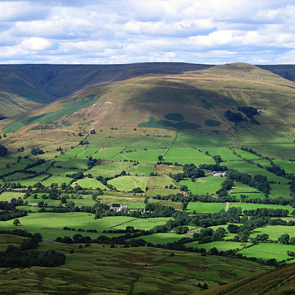 | |
| Other peaks |
| |
List of peaks of the Peak District | ||
This Derbyshire location article is a stub. You can help Wikipedia by expanding it. |
Другой контент может иметь иную лицензию. Перед использованием материалов сайта WikiSort.org внимательно изучите правила лицензирования конкретных элементов наполнения сайта.
WikiSort.org - проект по пересортировке и дополнению контента Википедии