geo.wikisort.org - Mountains
Lost Lad is a hill, 518 metres (1,699 ft) high on the Derwent Edge in the Peak District in the county of Derbyshire in England. It is a subpeak of Back Tor (538 metres [1,765 ft]).[1]
| Lost Lad | |
|---|---|
 Lost Lad | |
| Highest point | |
| Elevation | 518 m (1,699 ft) |
| Prominence | ca. 10 m[1] |
| Parent peak | Back Tor (Derwent Edge) |
| Listing | none |
| Coordinates | 53.4173°N 1.7108°W |
| Geography | |
| Location | Derbyshire, England |
| Parent range | Peak District |
| OS grid | SK193912 |
| Topo map | OS Landranger 110; OL1W |
Description

Lost Lad is a bare, conical moorland summit and subpeak of the nearby Back Tor which rises about 600 metres to the southeast.[1] The top of Lost Lad is marked by a cairn and toposcope and there are good views over the surrounding northern Peak District.
Name
Lost Lad is actually the name of the cairn at the top, whose name refers to a legend about a shepherd boy from the lost village of Derwent. According to the legend the boy became lost on the moors in a blizzard and died. His body was found the following spring by a passing shepherd and nearby were the words "Lost Lad" written on a rock.[2]
References
- Ordnance Survey map, OL1W, 1:25,000 series.
- Crook Hill and Derwent Edge at hillexplorer.com. Retrieved 1 Jan 2019
Peaks of the Peak District of England | ||
|---|---|---|
| Marilyns | 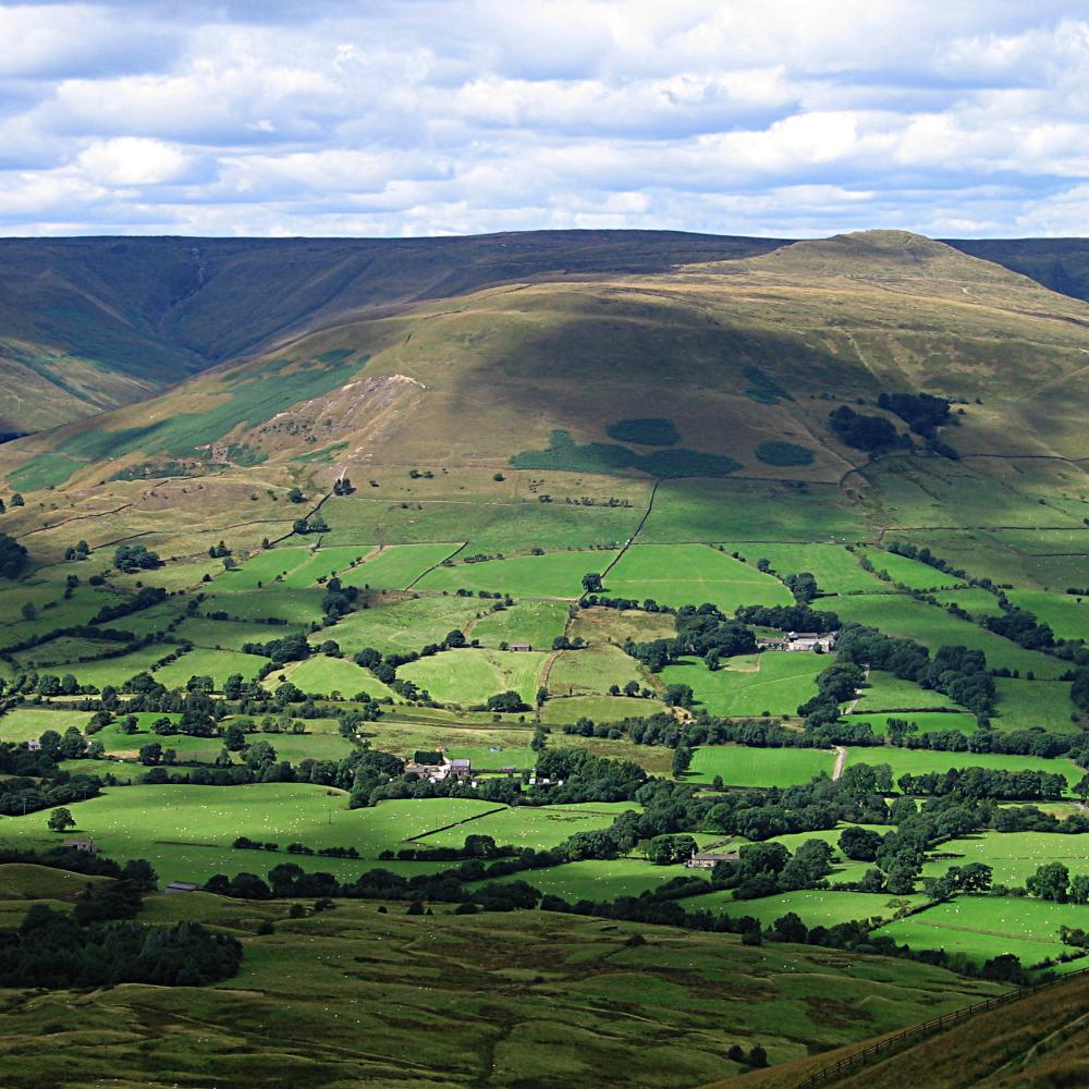 | |
| Other peaks |
| |
List of peaks of the Peak District | ||
This Derbyshire location article is a stub. You can help Wikipedia by expanding it. |
Другой контент может иметь иную лицензию. Перед использованием материалов сайта WikiSort.org внимательно изучите правила лицензирования конкретных элементов наполнения сайта.
WikiSort.org - проект по пересортировке и дополнению контента Википедии