geo.wikisort.org - Mountains
Croker Hill stands just outside the western edge of the Peak District national park, overlooking Congleton in Cheshire. Near the summit stands the Sutton Common BT Tower, built during the 1960s.
This article does not cite any sources. (January 2017) |
| Croker Hill | |
|---|---|
 View of Croker Hill from Bosley Locks | |
| Highest point | |
| Elevation | 402 m (1,319 ft) |
| Prominence | 98 m (322 ft) |
| Parent peak | Shining Tor (559m) |
| Listing | List of hills in the Peak District |
| Coordinates | 53.206133°N 2.1007°W |
| Geography | |
| Location | Cheshire, UK |
| Parent range | Peak District |
| OS grid | SJ933677 |
| Topo map | OS Landranger 119 |
Popular with hill walkers, Croker Hill offers fine views of the Cheshire Plain; on clear days, Manchester city centre and as far away as Snowdon can be seen.
Peaks of the Peak District of England | ||
|---|---|---|
| Marilyns | 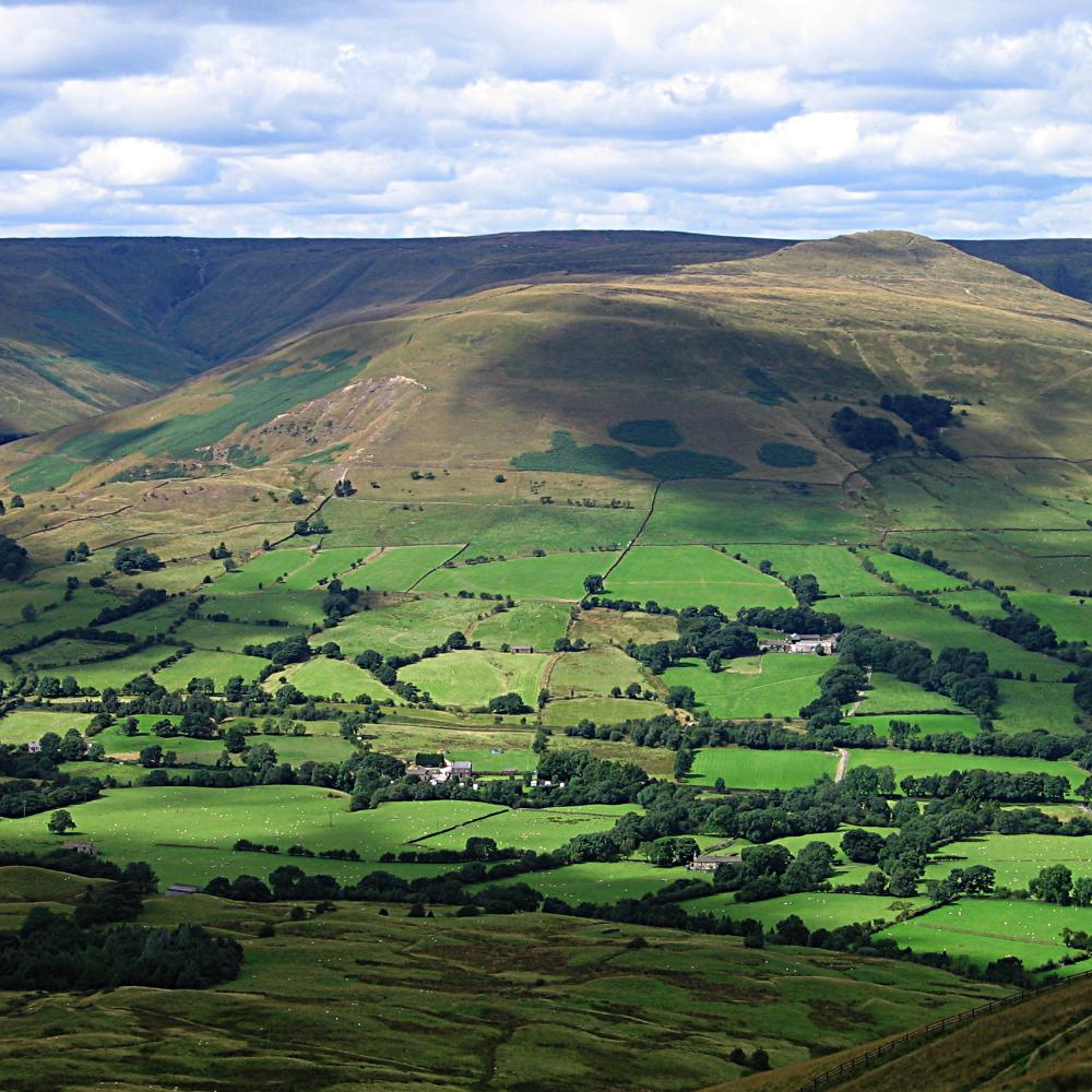 | |
| Other peaks |
| |
List of peaks of the Peak District | ||
This Cheshire location article is a stub. You can help Wikipedia by expanding it. |
Текст в блоке "Читать" взят с сайта "Википедия" и доступен по лицензии Creative Commons Attribution-ShareAlike; в отдельных случаях могут действовать дополнительные условия.
Другой контент может иметь иную лицензию. Перед использованием материалов сайта WikiSort.org внимательно изучите правила лицензирования конкретных элементов наполнения сайта.
Другой контент может иметь иную лицензию. Перед использованием материалов сайта WikiSort.org внимательно изучите правила лицензирования конкретных элементов наполнения сайта.
2019-2026
WikiSort.org - проект по пересортировке и дополнению контента Википедии
WikiSort.org - проект по пересортировке и дополнению контента Википедии