geo.wikisort.org - Mountains
Oliver Hill is a hill, 513 metres (1,683 ft) high, in the Peak District in the county of Staffordshire in England.[1] It is a treeless summit surrounded by farmland in the southern part of the Peak District about 6 kilometres (3.7 mi) south-southwest of the town of Buxton. The summit has a tiny cairn near some aerials.[1]
| Oliver Hill | |
|---|---|
 Near the top of Oliver Hill | |
| Highest point | |
| Elevation | 513 m (1,683 ft)[1] |
| Prominence | 45 m[1] |
| Parent peak | Shining Tor[1] |
| Listing | Dewey |
| Coordinates | 53.2054°N 1.9613°W |
| Geography | |
| Location | Staffordshire, England, UK |
| Parent range | Peak District |
| OS grid | SK027675 |
| Topo map | OS Landranger 119; OL24W |
References
- Oliver Hill at www.hill-bagging.co.uk. Retrieved 11 Mar 2016.
Peaks of the Peak District of England | ||
|---|---|---|
| Marilyns | 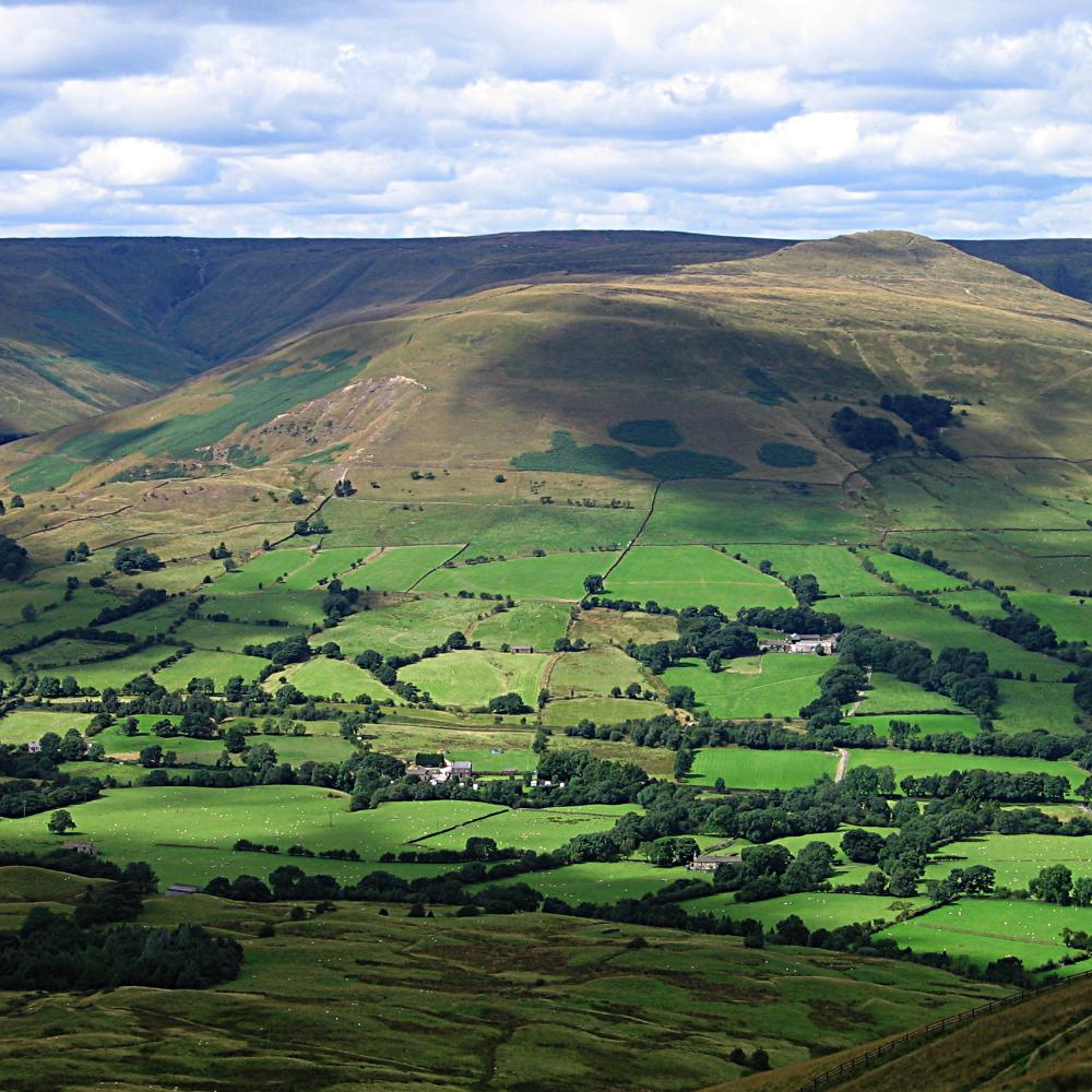 | |
| Other peaks |
| |
List of peaks of the Peak District | ||
This Staffordshire location article is a stub. You can help Wikipedia by expanding it. |
Текст в блоке "Читать" взят с сайта "Википедия" и доступен по лицензии Creative Commons Attribution-ShareAlike; в отдельных случаях могут действовать дополнительные условия.
Другой контент может иметь иную лицензию. Перед использованием материалов сайта WikiSort.org внимательно изучите правила лицензирования конкретных элементов наполнения сайта.
Другой контент может иметь иную лицензию. Перед использованием материалов сайта WikiSort.org внимательно изучите правила лицензирования конкретных элементов наполнения сайта.
2019-2025
WikiSort.org - проект по пересортировке и дополнению контента Википедии
WikiSort.org - проект по пересортировке и дополнению контента Википедии