geo.wikisort.org - Mountains
Mount Baldy (Western Apache: Dził Łigai White Mountain[4][5]) is a mountain in eastern Arizona in the United States. With a summit elevation of 11,409 feet (3,477 m), the peak of Mount Baldy rises above the tree line and is left largely bare of vegetation, lending the mountain its current name.[6] The Mount Baldy Wilderness occupies the eastern slope of the mountain and is managed by the Apache-Sitgreaves National Forest.[7]
| Mount Baldy | |
|---|---|
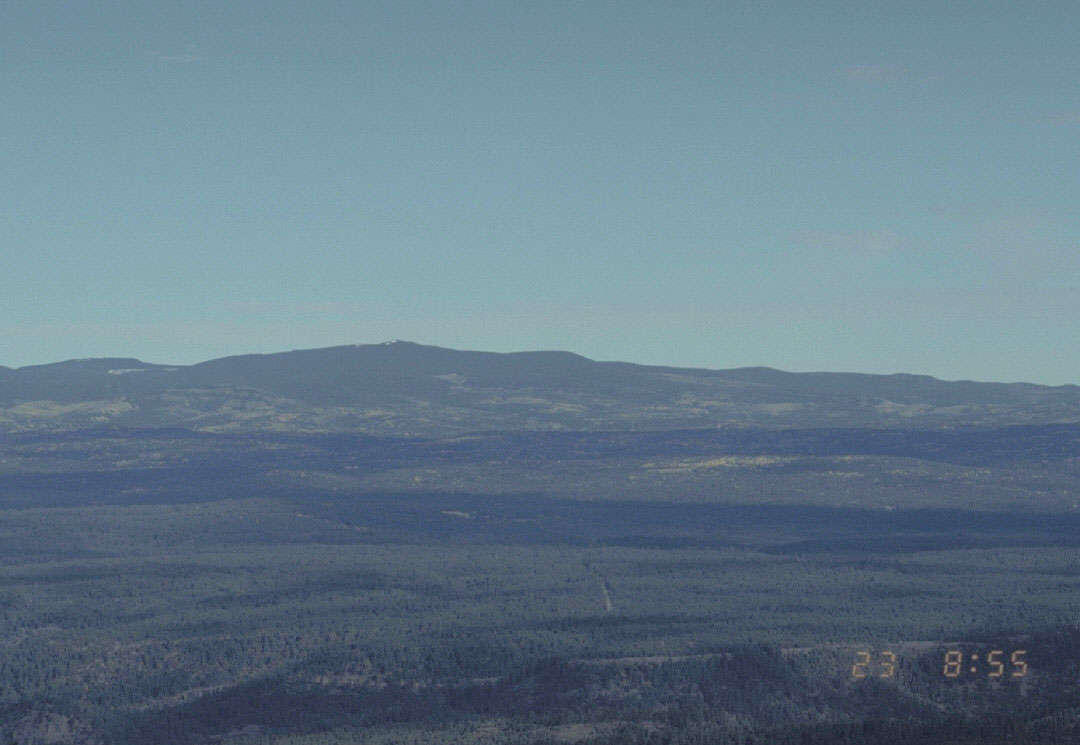 Mount Baldy from a US Forest Service webcam | |
| Highest point | |
| Elevation | 11,409 ft (3,477 m) NAVD 88[1] |
| Prominence | 4,723 ft (1,440 m)[2] |
| Listing |
|
| Coordinates | 33°54′21″N 109°33′45″W[1] |
| Geography | |
 Mount Baldy | |
| Location | Apache County, Arizona, U.S. |
| Parent range | White Mountains |
| Topo map | USGS Mount Baldy (AZ) |
The summit of Mount Baldy is within the Fort Apache Indian Reservation. It is the highest point in the White Mountains and Apache County.[2] It is the fifth-highest point in the state, and the highest outside the San Francisco Peaks in the Flagstaff area.[8] An unnamed sub-peak with an elevation of 10,890 feet (3,319 m) exists approximately 0.5 miles (0.8 km) to the north of the summit that is off reservation and accessible to the public via maintained trail.[9][10] A third peak, Ord Peak, sits about three miles northwest of Baldy Peak,[11] not to be confused with Mount Ord in Gila County.
Mount Baldy is one of the most sacred mountains to the Apache of Arizona. The Western Apache of Arizona inhabited the areas within their most four sacred mountain ranges: the White Mountains of Eastern Arizona, the Pinaleno Mountains near the town of Safford in southeastern Arizona, the Four Peaks near the City of Phoenix and the San Francisco Peaks near Flagstaff.
When Captain George M. Wheeler visited the mountaintop in 1873, he described the view as "The most magnificent and effective of any among the large number that have come under my observation". Wheeler named the mountain Mount Thomas after General Lorenzo Thomas, who fought in the Mexican–American War. It later became Mount Baldy.[12] The name Mount Thomas has been assigned to a nearby peak by the U.S. Geological Survey.[13]
Mount Baldy also contains the headwaters of the Little Colorado River and Salt River and produces the most abundant trout fishing streams in Arizona. No other mountain in Arizona produces as many rivers and streams. Along its slope are numerous man made lakes. The area around Mount Baldy also averages the most abundant precipitation in Arizona. Wildlife is abundant on the mountain and includes the recently introduced Mexican Grey Wolf.
While looking northeast from Historic Fort Apache (elevation 5,290 ft (1,610 m)), Mount Baldy rises 6,130 ft (1,870 m) in elevation.

Climate
| Climate data for Mount Baldy, Arizona (station elevation 9,370 ft) | |||||||||||||
|---|---|---|---|---|---|---|---|---|---|---|---|---|---|
| Month | Jan | Feb | Mar | Apr | May | Jun | Jul | Aug | Sep | Oct | Nov | Dec | Year |
| Record high °F (°C) | 58 (14) |
58 (14) |
59 (15) |
68 (20) |
75 (24) |
83 (28) |
80 (27) |
79 (26) |
75 (24) |
75 (24) |
65 (18) |
60 (16) |
83 (28) |
| Average high °F (°C) | 37.9 (3.3) |
39.3 (4.1) |
41.9 (5.5) |
49.6 (9.8) |
60.4 (15.8) |
68.8 (20.4) |
69.6 (20.9) |
67.7 (19.8) |
64.7 (18.2) |
57.1 (13.9) |
45.9 (7.7) |
40.3 (4.6) |
53.6 (12.0) |
| Average low °F (°C) | 9.2 (−12.7) |
10.0 (−12.2) |
16.1 (−8.8) |
21.4 (−5.9) |
27.7 (−2.4) |
35.6 (2.0) |
40.8 (4.9) |
37.5 (3.1) |
34.0 (1.1) |
26.9 (−2.8) |
17.3 (−8.2) |
11.9 (−11.2) |
24.0 (−4.4) |
| Record low °F (°C) | −26 (−32) |
−19 (−28) |
−9 (−23) |
−9 (−23) |
9 (−13) |
16 (−9) |
28 (−2) |
27 (−3) |
19 (−7) |
−5 (−21) |
−16 (−27) |
−20 (−29) |
−26 (−32) |
| Average precipitation inches (mm) | 3.10 (79) |
2.76 (70) |
4.09 (104) |
1.45 (37) |
0.82 (21) |
0.90 (23) |
4.85 (123) |
4.20 (107) |
2.84 (72) |
2.08 (53) |
1.68 (43) |
2.68 (68) |
31.47 (799) |
| Average snowfall inches (cm) | 40.4 (103) |
37.5 (95) |
42.9 (109) |
16.0 (41) |
2.8 (7.1) |
trace | 0 (0) |
0 (0) |
0.1 (0.25) |
3.1 (7.9) |
15.7 (40) |
29.4 (75) |
188 (480) |
| Source: The Western Regional Climate Center[14] | |||||||||||||
See also
References
- "Baldy". NGS Data Sheet. National Geodetic Survey, National Oceanic and Atmospheric Administration, United States Department of Commerce. Retrieved 2014-02-06.
- "Mount Baldy, Arizona". Peakbagger.com. Retrieved 2014-02-06.
- "Arizona County High Points". Peakbagger.com. Retrieved 2016-08-14.
- Green, Stewart M (2003). Scenic Driving Arizona. Guilford, CT: Globe Pequot Press. p. 133. ISBN 978-0762758036.
- McNamee, George (December 2000). "In High Spirits". Backpacker: 126, 136.
- Deforest, Lisa. "Sheep Crossing Trail". The Arizona Republic. Retrieved 2014-02-06.
- "Wilderness Connect".
- "Arizona 10,000-foot Peaks". Peakbagger.com. Retrieved 2014-02-06.
- "West Baldy Trail". White Mountains Online.
- "Springerville Ranger District Trail Guide" (PDF). Apache-Sitgreaves National Forests. p. 18. Retrieved 2014-02-06.
- "Ord Peak (Mount Baldy, AZ)". National Geodetic Survey. NOAA. Retrieved 31 July 2014.
- Byrd H. Granger (1960). Arizona Place Names. University of Arizona Press. p. 3.
- "Mount Thomas". Geographic Names Information System. United States Geological Survey, United States Department of the Interior. Retrieved 2014-02-06.
- "Seasonal Temperature and Precipitation Information". Western Regional Climate Center. Retrieved April 13, 2013.
| Authority control: National libraries |
|---|
Другой контент может иметь иную лицензию. Перед использованием материалов сайта WikiSort.org внимательно изучите правила лицензирования конкретных элементов наполнения сайта.
WikiSort.org - проект по пересортировке и дополнению контента Википедии