geo.wikisort.org - Mountains
Lime Peak is a summit in Cochise County, Arizona, north of Interstate 10 between Benson and Willcox and 6.6 miles (11 km) northwest of Dragoon, Arizona. It is one of three named peak in the Little Dragoon Mountains. Two of the peaks are named the Mae West Peaks since there appearance was thought to be reminiscent of the figure of the actress Mae West.
| Lime Peak | |
|---|---|
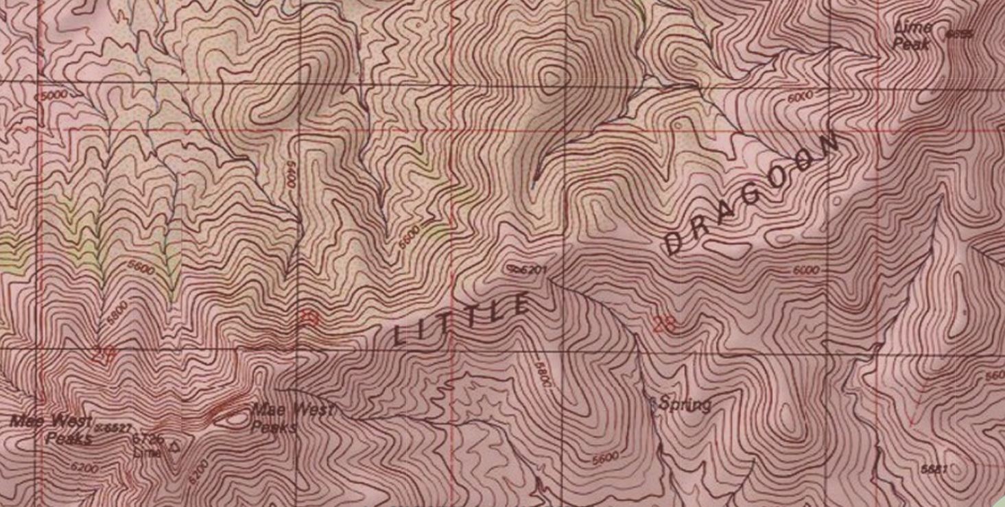 Topographic map of the ridge of the Little Dragoon Mountains with Lime Peak in the upper right corner. | |
| Highest point | |
| Elevation | 6,658 ft (2,029 m) NAVD 88[1] |
| Prominence | 695 ft (212 m)[1] |
| Coordinates | 32°06′43″N 110°05′40″W[2] |
| Geography | |
 Lime Peak Location in Arizona | |
| Location | Cochise County, Arizona, U.S. |
| Parent range | Little Dragoon Mountains |
| Topo map | USGS Dragoon |
In 1935 the Coast And Geodetic Survey referred to the tallest of the Mae West peaks as Lime.[3] In 1984 the U.S. Board on Geographic Names officially assigned the name Lime Peak to its current location.[4] It had also been known as Johnson Peak.
References
- "Lime Peak, Arizona". Peakbagger.com. Retrieved 2014-02-05.
- "Johnson Cairn". NGS data sheet. U.S. National Geodetic Survey. Retrieved 2016-08-18.
- "Lime". NGS data sheet. U.S. National Geodetic Survey. Retrieved 2014-02-05.
- "Lime Peak". Geographic Names Information System. United States Geological Survey. Retrieved 2009-03-22.
Текст в блоке "Читать" взят с сайта "Википедия" и доступен по лицензии Creative Commons Attribution-ShareAlike; в отдельных случаях могут действовать дополнительные условия.
Другой контент может иметь иную лицензию. Перед использованием материалов сайта WikiSort.org внимательно изучите правила лицензирования конкретных элементов наполнения сайта.
Другой контент может иметь иную лицензию. Перед использованием материалов сайта WikiSort.org внимательно изучите правила лицензирования конкретных элементов наполнения сайта.
2019-2026
WikiSort.org - проект по пересортировке и дополнению контента Википедии
WikiSort.org - проект по пересортировке и дополнению контента Википедии