geo.wikisort.org - River
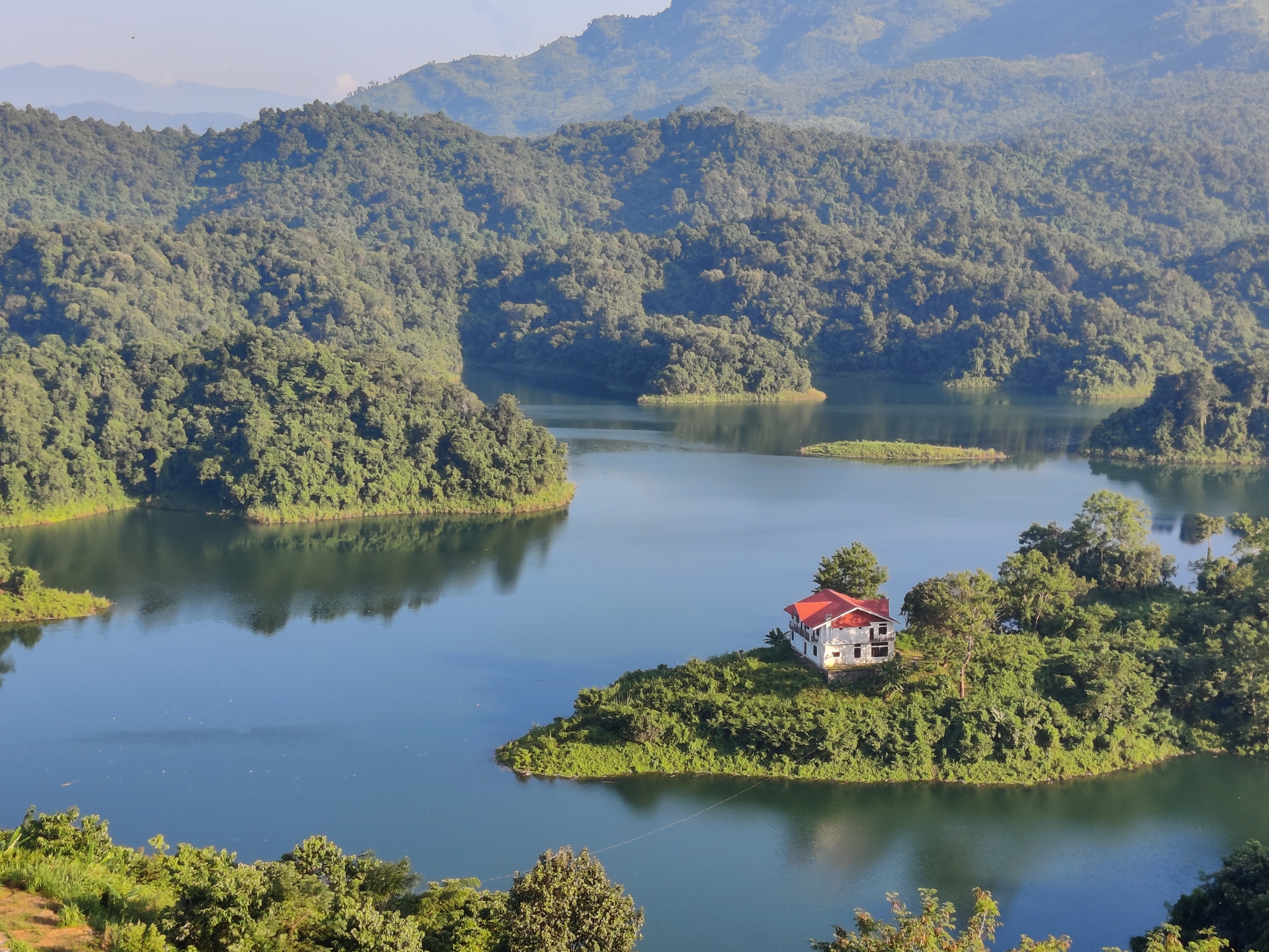
The Doyang is the longest and largest river in the Indian state of Nagaland. With its origin from small streams near the Nagaland–Manipur border, it first flows to the form the River Dzüü and Sidzü which flows in a parallel direction in Kohima District and Phek District to meet at the Zünheboto District. It then flows to Wokha District where it is known by its name, the Doyang and moves south west direction and then north in Assam to join the Dhansiri River which together in turn is a left tributary of the Brahmaputra River.[1]
| Doyang | |
|---|---|
| Physical characteristics | |
| Mouth | Dhansiri River |
• coordinates | 26°15′55″N 93°34′16″E |
| Length | 150 km (93 mi) |
| Basin features | |
| Progression | Dzüü–Sidzü→ Doyang→ Dhansiri River→ Brahmaputra River→Bay of Bengal |
Dams

The Doyang Hydro Electric Project is the only major river dam in Nagaland. It was commissioned in the year 2000 and the total installed capacity of the project is 75 (3 X 25) MW.[2]
See also
- List of rivers in Nagaland
References
- "List of Rivers of Nagaland". Nagaland GK. Retrieved 30 October 2022.
- "DOYANG HYDRO ELECTRIC PLANT | North Eastern Electric Power Corporation Limited". neepco.co.in. Retrieved 30 October 2022.
External links
Wikimedia Commons has media related to Doyang.
Wikivoyage has a travel guide for Doyang.
Текст в блоке "Читать" взят с сайта "Википедия" и доступен по лицензии Creative Commons Attribution-ShareAlike; в отдельных случаях могут действовать дополнительные условия.
Другой контент может иметь иную лицензию. Перед использованием материалов сайта WikiSort.org внимательно изучите правила лицензирования конкретных элементов наполнения сайта.
Другой контент может иметь иную лицензию. Перед использованием материалов сайта WikiSort.org внимательно изучите правила лицензирования конкретных элементов наполнения сайта.
2019-2026
WikiSort.org - проект по пересортировке и дополнению контента Википедии
WikiSort.org - проект по пересортировке и дополнению контента Википедии