geo.wikisort.org - River
The Sabarmati river is one of the major west-flowing rivers in India.[3] It originates in the Aravalli Range of the Udaipur District of Rajasthan and meets the Gulf of Khambhat of Arabian Sea after travelling 371 km (231 mi) in a south-westerly direction across Rajasthan and Gujarat.[3] 48 km (30 mi) of the river length is in Rajasthan, while 323 km (201 mi) is in Gujarat.[3]
| Sabarmati River | |
|---|---|
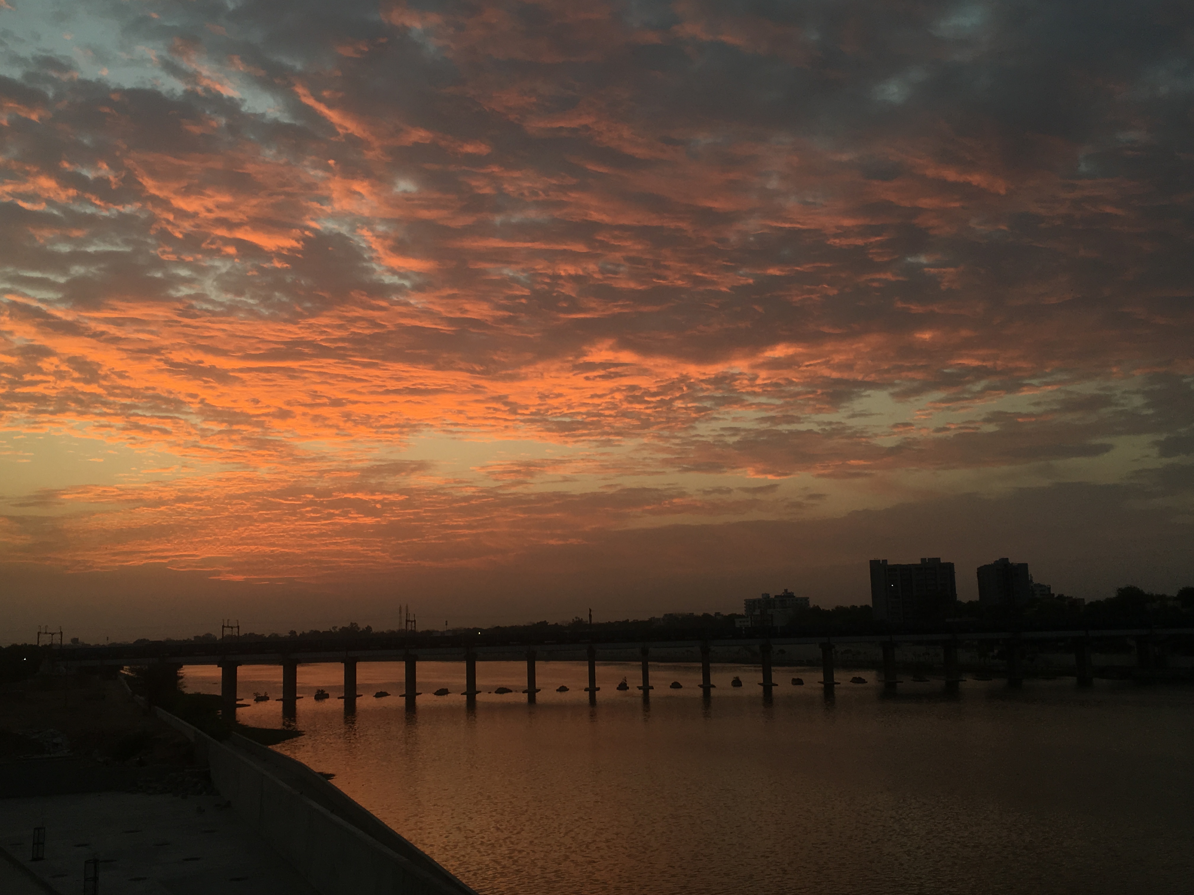 Sabarmati River near Ahmedabad, Gujarat | |
 Map of the Sabarmati River watershed | |
| Location | |
| Country | India |
| State | Gujarat, Rajasthan |
| Cities | Ahmedabad, Gandhinagar |
| Physical characteristics | |
| Source | |
| • location | Aravalli Range, Udaipur District, Rajasthan, India |
| • elevation | 782 m (2,566 ft) |
| Mouth | |
• location | Gulf of Khambhat, Gujarat, India |
| Length | 371 km (231 mi)[1] |
| Basin size | 30,680 km2 (11,850 sq mi)[1] |
| Discharge | |
| • average | 120 m3/s (4,200 cu ft/s) |
| Discharge | |
| • location | Ahmedabad[2] |
| • average | 33 m3/s (1,200 cu ft/s) |
| • minimum | 0 m3/s (0 cu ft/s) |
| • maximum | 484 m3/s (17,100 cu ft/s) |
| Basin features | |
| Tributaries | |
| • left | Wakal River, Harnav River, Hathmati River, Watrak River[1] |
| • right | Sei River[1] |
Course
The Sabarmati River originates in the Aravalli hills in the Indian state of Rajasthan. The total length of the river is 371 km (231 mi).[4] After travelling 48 km (30 mi) in Rajasthan it flows into the Indian state of Gujarat where it is joined by a left bank tributary, Wakal, near the village Ghonpankhari.[5] From there, the river continues southwest to Mhauri and meets a right bank tributary, the Sei River. Continuing its journey, it is joined by a left bank tributary, the Harnav River, before entering the Dharoi reservoir. After the Sabarmati passes the Dharoi dam it meets another left bank tributary, the Hathmati River.[5] From there, the river flows past the city of Ahmedabad and is joined by a left bank tributary, the Watrak River. The Sabarmati River continues to flow and drains into the Gulf of Khambhat, in the Arabian Sea.[5]
Basin
The catchment area of the Sabarmati basin is 21,674 km2 (8,368 sq mi) out of which 4,124 km2 (1,592 sq mi) lies in Rajasthan State and the remaining 18,550 km2 (7,160 sq mi) in Gujarat.[6] The basin is located in a semi-arid zone with rainfall ranging from 450 to 800 mm (18 to 31 in) in different parts of the basin.[7] The river traverses three geomorphic zones: rocky uplands, middle alluvial plains, and lower estuarine zone.[8]
The major tributaries are the Watrak, Wakal, Hathmati, Harnav, and Sei rivers.[3][6][9] Average annual water availability in the Sabarmati basin is 308 m3 (10,900 cu ft) per capita, which is significantly lower than the national average of 1,545 m3 (54,600 cu ft) per capita.[10]
The Sabarmati is a seasonal river whose flows are dominated by the monsoon, with little or no flows post-monsoon.[7] An average flow of 33 m3 (1,200 cu ft) per second was measured at Ahmedabad during the period 1968–1979.[11] Over the past century, the flood of August 1973 is considered to be the largest flood,[7] when a flow of 14,150 m3 (500,000 cu ft) per second was measured at Dharoi.[12]
Religious significance
In Rajasthan, it is believed that the Sabarmati River originated due to the penance of ascetic Kashyapa on Mount Abu.[13] His penance had pleased Shiva and in return, Shiva gave ascetic Kashyapa the Ganges River. The Ganges River flowed from Shiva's hair onto Mount Abu and became the Sabarmati River.[13] In another legend surrounding the origin of the river, Shiva brought the goddess Ganga to Gujarat and that caused the Sabarmati to come into being.[14]
History
Rajashekhara's Kavya-mimamsa (10th century) calls the river Shvabhravati (IAST: Śvabhravatī). The 11th century text Shringara-manjari-katha calls it "Sambhramavati" (literally, "full of fickleness").[15]
During India's independence struggle, Mahatma Gandhi established the Sabarmati Ashram as his home on the banks of this river.[16]
In 2018, an assessment by the Central Pollution Control Board (CPCB) named the Kheroj-Vautha stretch of the Sabarmati among the most polluted river stretches in India.[17]
Dams
There are several reservoirs on Sabarmati and its tributaries. The Dharoi dam is located on the main river. Hathmati, Harnav and Guhai dams are located on the tributaries meeting the main river upstream of Ahmedabad while Meshvo reservoir, Meshvo pick-up weir, Mazam and Watrak dams are located on tributaries meeting downstream. The Kalpasar is planned project in the Gulf of Khambhat.
Sabarmati Riverfront
The Sabarmati Riverfront project is one of the most ambitious project undertaken by the government to enrich the economy. Per the research conducted by couple of academicians, the main concern of the riverfront project was to reduce the river pollution, increase tourism, and prevent future floods.[18] The second phase of the project has now received an in-principle approval.[19]
Gallery
 Lithograph by Dutchman Philip Baldeus depicting Ahmedabad and Sabarmati river circa 1752
 Sabarmati river in 1890
 Watercarts in Sabarmati near Ahmedabad in 1890s
 View of the Harnav, a tributary of the Sabarmati
 Construction work going on near the river under the Sabarmati River Front Development Project
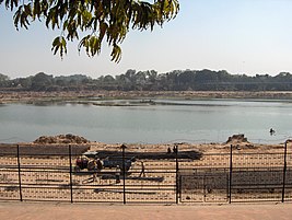 River Sabarmati in Ahmedabad, Gujarat
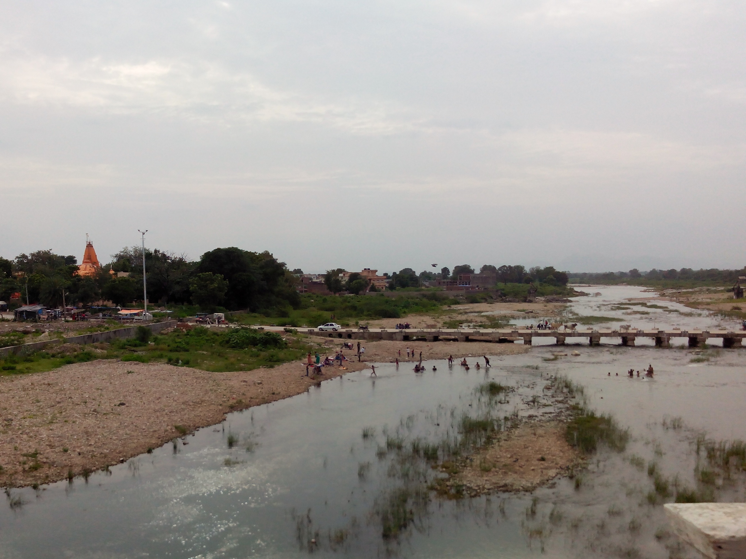
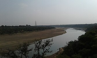 Sabarmati River near Ambod


See also
- Ahmedabad
- List of rivers in India
- Sabarmati Ashram
References
- Sabarmati Basin. Government of India Ministry of Water Resources. 2014. Retrieved 3 May 2019.
- "Sabarmati Basin Station: Ahmedabad". UNH/GRDC. Archived from the original on 4 October 2013.
- Water Year Book 2011-12: Mahi, Sabarmati & Other West Flowing Rivers (PDF). Gandhinagar: Central Water Commission. 2012. p. 14.
- Singh, Dhruv Sen, ed. (2018). The Indian rivers : scientific and socio-economic aspects. Springer Nature Singapore. p. 466.
{{cite book}}: CS1 maint: date and year (link) - Jain, S. K.; Agarwal, Pushpendra K; Singh, V. P. (2007). Hydrology and water resources of India. Dordrecht: Springer. pp. 589–579. Bibcode:2007hwri.book.....J.
- "Sabarmati River, India". National River Conservation Directorate.
- Sridhar, Alpa; Chamyal, L.S.; Patel, Mansi (25 August 2014). "Palaeoflood record of high-magnitude events during historical time in the Sabarmati River, Gujarat" (PDF). Current Science. 107 (4): 675–679. Retrieved 12 May 2019.
- Thokchom, Sarda; Bhattacharya, Falguni; Prasad, A. Durga; Dogra, N.N.; Rastogi, B.K. (2017). "Paleoenvironmental implications and drainage adjustment in the middle reaches of the Sabarmati river, Gujarat: Implications towards hydrological variability". Quaternary International. 454: 1–14. Bibcode:2017QuInt.454....1T. doi:10.1016/j.quaint.2017.07.026. Retrieved 13 May 2019.
- Water Resources Assessment of Sabarmati River Basin, India. International Commission on Irrigation and Drainage. 2005. Retrieved 27 May 2019.
- Integrated Hydrological Data Book (PDF). New Delhi: Central Water Commission. 2016. p. 1.
- "Sabarmati Basin, Station: Ahmedabad". UNH/GRDC Composite Runoff Fields v 1.0. UNH/GRDC. Retrieved 13 May 2019.
- Rakhecha, P.R. (2002). "The Extremes of the Extreme: Extraordinary Floods (Proceedings of a symposium held at Reykjavik, Iceland, July 2000), IAHS Publ. No. 271, 2002.". Highest floods in India (PDF). IAHS. pp. 167–172. Retrieved 13 May 2019.
- Eck, Diana L. (2012). India : a sacred geography. New York: Harmony. p. 283.
- "The sacrificial maiden river". The Times of India. 2 September 2002. Archived from the original on 6 March 2016.
- Kalpalata Munshi (1959). Śṛṅgāramañjarī Kathā of Paramāra King Bhojadeva. Singhi Jain Series. Bombay: Bharatiya Vidya Bhavan. pp. 77, 22 (translation section).
- "Sabarmati Ashram History".
- Jacob Koshy (17 September 2018). "More river stretches are critically polluted: Central Pollution Control Board". The Hindu.
- "Mehta, Vishwa & Bhatt, Bhasker. (2017). Waterfront Development: A Case Study of Sabarmati Riverfront". ResearchGate. 1 March 2017.
- "Sabarmati Riverfront Phase 2 plan receives in-principle approval". The Indian Express. 27 October 2020. Retrieved 2 November 2020.
External links
- Sabarmati Basin (Department of Irrigation, Government of Rajasthan)
- Sustainable water project Sabarmati River Basin
- Map of Sabarmati Basin
- Integrated management of the Sabarmati river basin
- Information about sabarmati riverfront project of Ahmedabad
| History |
| ||||||||||||||
|---|---|---|---|---|---|---|---|---|---|---|---|---|---|---|---|
| Geography | |||||||||||||||
| Administration |
| ||||||||||||||
Buildings and landmarks |
| ||||||||||||||
| Institutes |
| ||||||||||||||
| Economy |
| ||||||||||||||
| Transport |
| ||||||||||||||
| Sports |
| ||||||||||||||
| Zones and wards |
| ||||||||||||||
| Lists |
| ||||||||||||||
| Other topics |
| ||||||||||||||
| |||||||||||||||
Authority control | |
|---|---|
| General |
|
| National libraries | |
| Other | |
На других языках
[de] Sabarmati
Der Sabarmati ist ein Fluss im westlichen Indien mit einer Länge von etwa 371 km.- [en] Sabarmati River
[es] Río Sabarmati
El río Sabarmati (en hindi, साबरमती नदी) es un río costero del oeste de la India que desagua en el mar Arábigo. Tiene aproximadamente unos 371 km de longitud.[it] Sabarmati
Il fiume Sabarmati è un fiume dell'India occidentale. Il fiume Sabarmati è uno dei maggiori fiumi dell'ovest della Gujarat, il quale ha origine a dal lago Dhebar sui monti Aravalli nel distretto di Udaipur, nel Rajasthan. Sfocia nel golfo di Cambay nel mar Arabico dopo un viaggio di 371 km.[ru] Сабармати
Сабармати[1] (гудж. સાબરમતી, хинди साबरमती) — река на западе Индии протяжённостью в 371 км. Берёт своё начало в хребтах Аравали штата Раджастхан. Площадь бассейна реки равна 21 674 км², длина оценивается в 371 километр[2]. Река Сабармати впадает в Камбейский залив Аравийского моря. На берегах основаны крупные города Гуджарата, в частности Ахмадабад и Гандинагар.Другой контент может иметь иную лицензию. Перед использованием материалов сайта WikiSort.org внимательно изучите правила лицензирования конкретных элементов наполнения сайта.
WikiSort.org - проект по пересортировке и дополнению контента Википедии