geo.wikisort.org - Coast
Cape Batterbee is a small, rocky point on the coast, the most northerly cape of Enderby Land. It is located 92 km north of Mount Elkins.
Discovery and naming
Cape Batterbee was discovered by BANZARE (1929–31) on 13 January 1930. Named by Sir Douglas Mawson after Sir Henry Fagg Batterbee, Assistant Secretary of the Dominions Office, London, at the time of the expedition.[1]
Important Bird Area
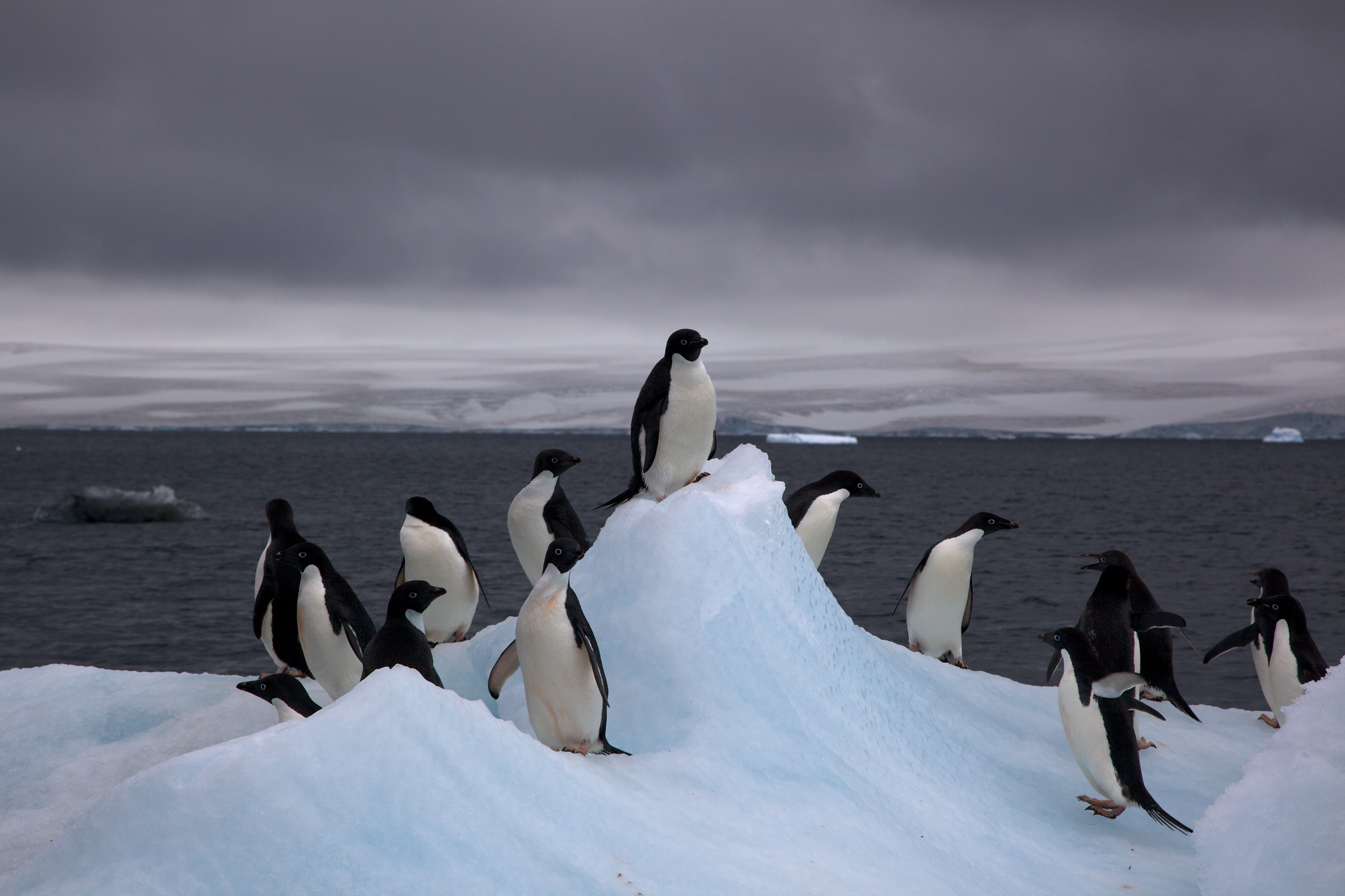
A 151 ha site comprising the cape, a nearby offshore island and the intervening sea ice has been identified as an Important Bird Area (IBA) by BirdLife International because it supports some 31,000 breeding pairs of Adélie penguins (as estimated from 2011 satellite imagery).[2]
See also
- Aagaard Islands, group of small islands to the west of Cape Batterbee
- History of Antarctica
- List of Antarctic expeditions
References
- U.S. Geological Survey Geographic Names Information System: Cape Batterbee
- "Cape Batterbee". BirdLife Data Zone. BirdLife International. 2015. Retrieved 26 October 2020.
External links
- Australian Antarctic Division
- Australian Antarctic Gazetteer
- Scientific Committee on Antarctic Research (SCAR)
- PDF Map of the Australian Antarctic Territory
- United States Geological Survey, Geographic Names Information System (GNIS)
Antarctica | ||||||||
|---|---|---|---|---|---|---|---|---|
| Geography |
|  | ||||||
| History |
| |||||||
| Politics |
| |||||||
| Society |
| |||||||
| Famous explorers |
| |||||||
| ||||||||
This Enderby Land location article is a stub. You can help Wikipedia by expanding it. |
На других языках
[de] Kap Batterbee
Das Kap Batterbee ist ein vereistes Kap mit markanten Felsvorsprüngen, die aus küstennahen Eisklippen herausragen. Es markiert das nördliche Ende des antarktischen Enderbylands und befindet sich unmittelbar östlich von Proclamation Island.- [en] Cape Batterbee
Текст в блоке "Читать" взят с сайта "Википедия" и доступен по лицензии Creative Commons Attribution-ShareAlike; в отдельных случаях могут действовать дополнительные условия.
Другой контент может иметь иную лицензию. Перед использованием материалов сайта WikiSort.org внимательно изучите правила лицензирования конкретных элементов наполнения сайта.
Другой контент может иметь иную лицензию. Перед использованием материалов сайта WikiSort.org внимательно изучите правила лицензирования конкретных элементов наполнения сайта.
2019-2026
WikiSort.org - проект по пересортировке и дополнению контента Википедии
WikiSort.org - проект по пересортировке и дополнению контента Википедии