geo.wikisort.org - Coast
The Smith Peninsula is an ice-covered, "dog-legged" peninsula 45 km (28 mi) long and 18 km (11 mi) wide, extending in an easterly direction between Keller and Nantucket Inlets from the east coast of Palmer Land, Antarctica, into the south-western Weddell Sea.

Discovery and naming
The peninsula was photographed from the air in December 1940 by members of the United States Antarctic Service Expedition (USAS), and in 1947 by members of the Ronne Antarctic Research Expedition (RARE) under Finn Ronne, who in conjunction with the Falkland Islands Dependencies Survey (FIDS) charted it from the ground. It was named by Ronne for Walter Smith, ship's mate, navigator, and trail man with Ronne's expedition.
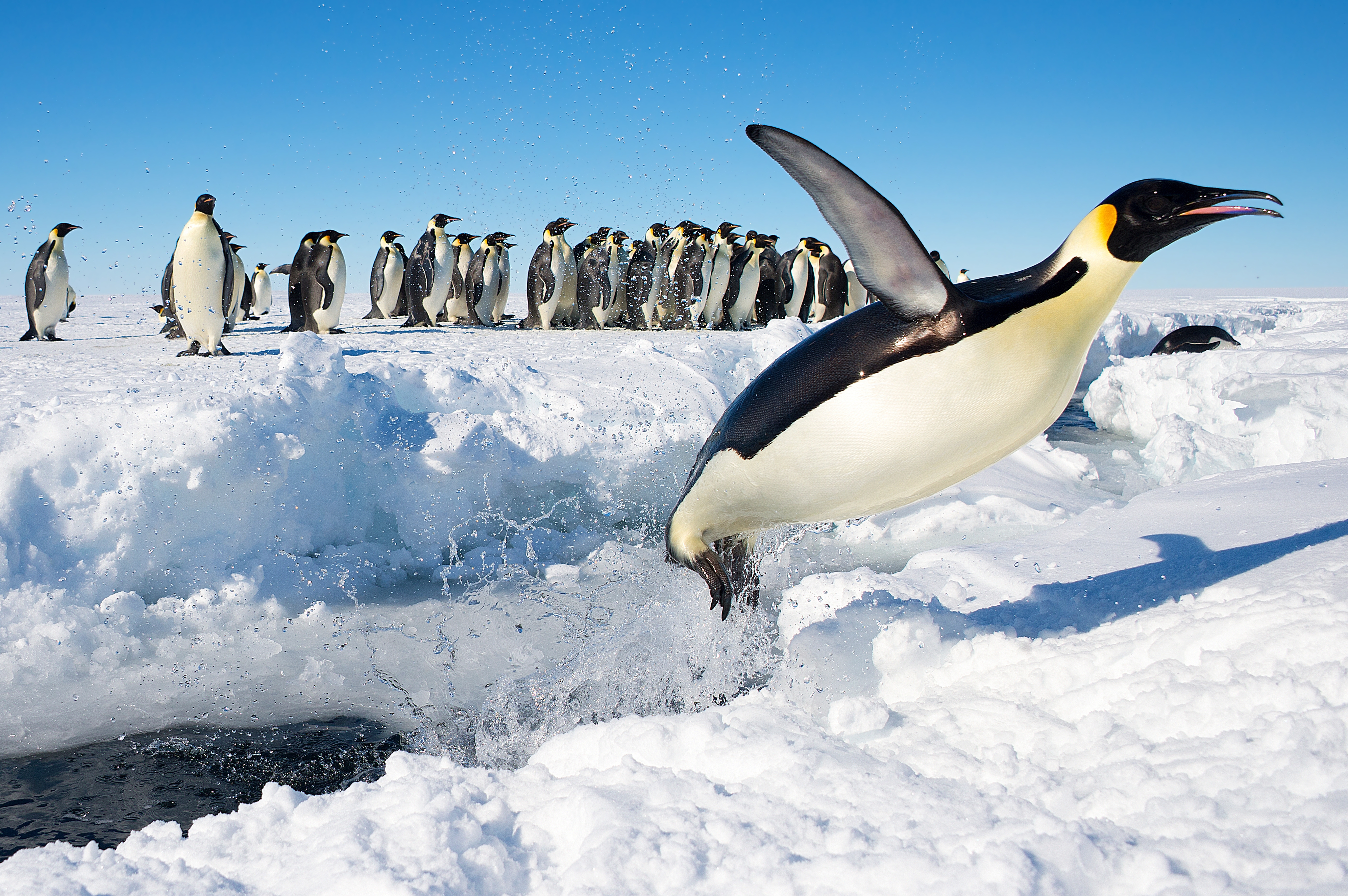
Important Bird Area
A 292 ha site on fast ice in the northern part of Clarke Bay has been designated an Important Bird Area (IBA) by BirdLife International because it supports a breeding colony of about 4,000 emperor penguins, estimated from 2009 satellite imagery.[1]
References
- "Smith Peninsula". BirdLife Data Zone. BirdLife International. 2015. Retrieved 29 November 2020.
![]() This article incorporates public domain material from the United States Geological Survey document: "Smith Peninsula". (content from the Geographic Names Information System)
This article incorporates public domain material from the United States Geological Survey document: "Smith Peninsula". (content from the Geographic Names Information System)
This Palmer Land location article is a stub. You can help Wikipedia by expanding it. |
На других языках
[de] Smith-Halbinsel
Die Smith-Halbinsel ist eine vereiste, rund 40 km lange und etwa 16 km breite Halbinsel an der Lassiter-Küste des Palmerlands auf der Antarktischen Halbinsel. Sie trennt das Keller Inlet im Norden vom Nantucket Inlet im Süden. An ihrem östlichen Ende liegt die Clarke Bay.- [en] Smith Peninsula
Другой контент может иметь иную лицензию. Перед использованием материалов сайта WikiSort.org внимательно изучите правила лицензирования конкретных элементов наполнения сайта.
WikiSort.org - проект по пересортировке и дополнению контента Википедии