geo.wikisort.org - Island
The Danger Islands is a group of small islands lying 24 km (13 nmi) east-south-east of Joinville Island near the tip of the Antarctic Peninsula. They were discovered on 28 December 1842 by a British expedition under James Clark Ross, who so named them because, appearing among heavy fragments of ice, they were almost completely concealed until the ship was nearly upon them.[1]
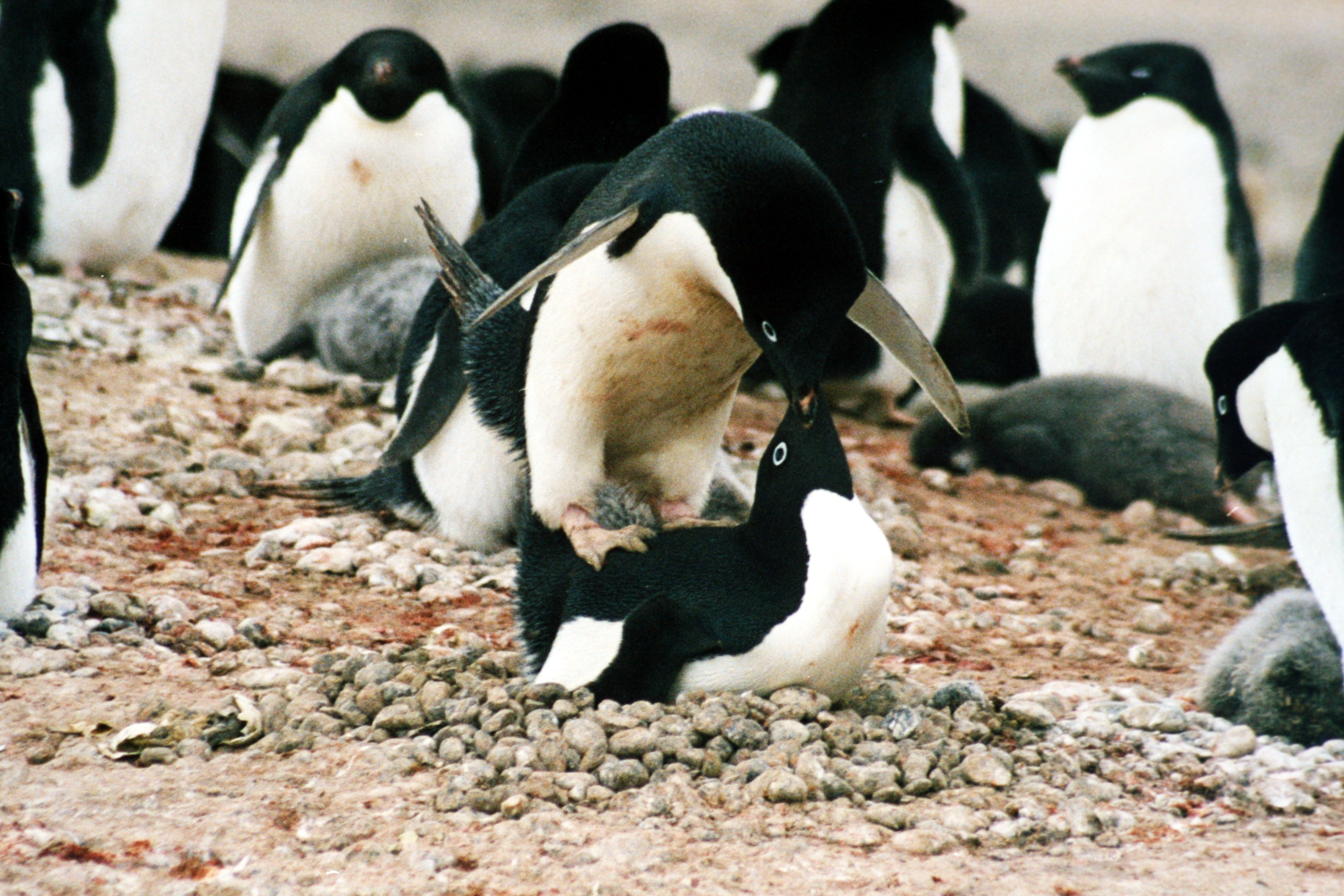 The islands are an important breeding site for Adélie penguins | |
 Danger Islands Location in Antarctica | |
| Geography | |
|---|---|
| Location | Antarctica |
| Coordinates | 63°25′S 54°40′W |
| Administration | |
| Administered under the Antarctic Treaty System | |
| Demographics | |
| Population | Uninhabited |
The Danger Islands comprise:
Use by birds
The Danger Islands have been identified as an Important Bird Area by BirdLife International because it supports Adélie penguin colonies and seabirds.[2] 751,527 pairs of Adélie penguins (1.5 million individuals) have been recorded in at least five distinct colonies as of March 2018.[3][4][5][6]
See also
References
- "Danger Islands". Geographic Names Information System. United States Geological Survey, United States Department of the Interior. Retrieved 20 December 2011.
- "BirdLife Data Zone". BirdLife International. Retrieved 4 March 2018.
- Borowicz, Alex; McDowall, Philip; Youngflesh, Casey; Sayre-McCord, Thomas; Clucas, Gemma; Herman, Rachael; Forrest, Steven; Rider, Melissa; Schwaller, Mathew (2 March 2018). "Multi-modal survey of Adélie penguin mega-colonies reveals the Danger Islands as a seabird hotspot". Scientific Reports. 8 (1): 3926. Bibcode:2018NatSR...8.3926B. doi:10.1038/s41598-018-22313-w. ISSN 2045-2322. PMC 5834637. PMID 29500389.
- May, Ashley (2 March 2018). "NASA satellite images of poop lead researchers to penguin 'supercolony'". USA Today. Retrieved 4 March 2018.
- BBC Newshour, March 2, 2018
- Michael Le Page (10 March 2018). "Secret penguins revealed by drones". New Scientist.
![]() This article incorporates public domain material from the United States Geological Survey document: "Danger Islands". (content from the Geographic Names Information System)
This article incorporates public domain material from the United States Geological Survey document: "Danger Islands". (content from the Geographic Names Information System)
This Joinville Island group location article is a stub. You can help Wikipedia by expanding it. |
На других языках
[de] Danger-Inseln
Die Danger-Inseln (englisch Danger Islands, spanisch islotes Peligro) sind eine Gruppe von sieben Inseln an der östlichen Spitze der Antarktischen Halbinsel.- [en] Danger Islands
[fr] Îles Danger (Antarctique)
Les Iles Danger constituent un archipel inhabité située à 13 miles nautiques (24 km) 13 nmi (24 km) à l’Est-Sud-Est de l'Île de Joinville près de la pointe de la péninsule Antarctique.Другой контент может иметь иную лицензию. Перед использованием материалов сайта WikiSort.org внимательно изучите правила лицензирования конкретных элементов наполнения сайта.
WikiSort.org - проект по пересортировке и дополнению контента Википедии