geo.wikisort.org - Coast
Penguin Point lies on the south-eastern coast of Seymour Island, in the James Ross Island group, near the north-eastern extremity of the Antarctic Peninsula. The Argentine Marambio Base is about 8 km to the north-east.[1] A ridge of exposed dark rock named Blackrock Ridge runs west-southwest–east-northeast, 1.5 nautical miles (3 km) north of Penguin Point.
Important Bird Area
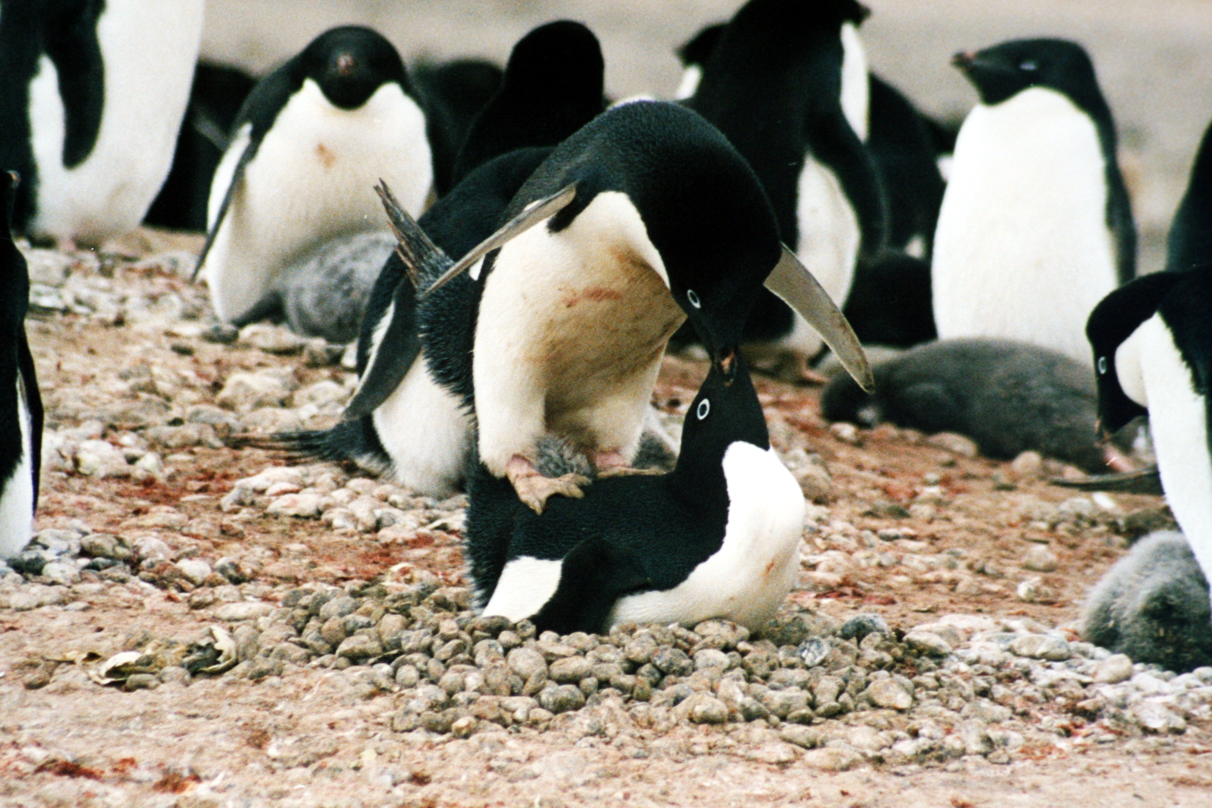
Some 326 ha of sparsely vegetated, ice-free ground, including the point and adjacent cobbled beach, and extending 1260 m inland, has been identified as an Important Bird Area (IBA) by BirdLife International because it supports a large breeding colony of about 16,000 pairs of Adélie penguins. Weddell and Antarctic fur seals regularly haul out there.[1]
References
- "Penguin Point, Seymour Island". BirdLife data zone: Important Bird Areas. BirdLife International. 2013. Retrieved 2013-01-13.
This Graham Land location article is a stub. You can help Wikipedia by expanding it. |
На других языках
[de] Pinguinenkap
Das Pinguinenkap[1] (englisch Penguin Point, in Argentinien Punta Pingüino) ist eine Landspitze im Zentrum der Südküste der Seymour-Insel vor der nördlichen Ostküste der Antarktischen Halbinsel. Es liegt südöstlich der James-Ross-Insel am Südrand des Erebus-und-Terror-Golfs.- [en] Penguin Point (Seymour Island)
Другой контент может иметь иную лицензию. Перед использованием материалов сайта WikiSort.org внимательно изучите правила лицензирования конкретных элементов наполнения сайта.
WikiSort.org - проект по пересортировке и дополнению контента Википедии