geo.wikisort.org - Mountains
Mount Narodnaya (also known as Naroda and Poenurr; Russian: Гора Народная, Komi: горы народов; ("People's Mountain")[2] is the highest peak of the Urals in Russia. Its elevation is 1,894 metres (6,214 ft). It is in Khanty–Mansi Autonomous Okrug in Tyumen Oblast, 0.5 km to east from the border of Komi Republic.[citation needed] The name refers to Naroda River, which originates from the mount, located in the Research Range.
| Mount Narodnaya | |
|---|---|
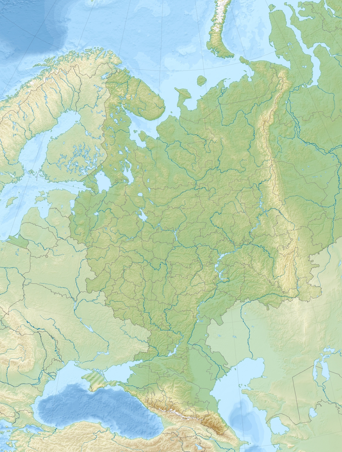
 Mount Narodnaya: View from the south. | |
| Highest point | |
| Elevation | 1,894 m (6,214 ft)[1] |
| Prominence | 1,772 m (5,814 ft)[1] |
| Isolation | 1,836 km (1,141 mi) |
| Listing | Ultra |
| Coordinates | 65°02′N 60°07′E[1] |
| Geography | |
 Mount Narodnaya Location in Russia 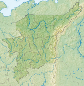 Mount Narodnaya Mount Narodnaya (Komi Republic) | |
| Location | Khanty–Mansi Autonomous Okrug in Tyumen Oblast, Russia |
| Parent range | Ural Mountains |
| Climbing | |
| Easiest route | The North face |
It is the highest point in European Russia outside the Caucasus. This leads to its large topographic prominence of 1,772 metres (5,814 ft). Narodnaya is located in the Ural mountains water divide, and therefore on the border between Europe and Asia: the Naroda river flows south-east from the summit into the Ob river in Siberia, and the Kos'yu river flows north-west from the summit into the Pechora river in Europe.
The mountain is formed with quartzites and metamorphosed slates of the Proterozoic Eon and Cambrian Period. There are some glaciers on the mountain. Also, there are sparse forests of larch and birch in the deep valleys at the foot of the mountain. The slopes of the mountain are covered with highland tundra.
The easiest route to the summit is a technically easy hike on the moderate north-west slope. Depending on snow and ice conditions, crampons may be required.[3] The south wall of Narodnaya is steeper and less commonly used to reach the summit.
See also
- Highest points of Russian Federal subjects
- List of European ultra prominent peaks
References
- "European Russia and the Caucasian States: Ultra-Prominence Page". Peaklist.org. Retrieved 2013-06-24.
- "Физико-географическая статистика России". Archived from the original on 2014-05-25. Retrieved 2008-07-08.
- "The Circumpolar Urals". Risk Online.
External links
This Khanty-Mansi Autonomous Okrug location article is a stub. You can help Wikipedia by expanding it. |
This Komi Republic location article is a stub. You can help Wikipedia by expanding it. |
На других языках
[de] Narodnaja
Die Narodnaja (russisch Народная; auch (gora) Naroda, (гора) Народа) ist mit 1895 m der höchste Berg des Urals.[1]- [en] Mount Narodnaya
[es] Narodnaya
El monte Naródnaya (literalmente: Montaña Popular (del pueblo); en ruso: Гора́ Наро́дная) es la montaña más alta de los montes Urales al elevarse a una altura de 1.895 m. Está situada en el distrito autónomo de Janti-Mansi del óblast de Tiumén a medio kilómetro al este de la frontera de la República de Komi (a una latidud de 65º y una longitud de 60º sobre el globo terrestre). En su cumbre existen algunos pequeños glaciares. Las laderas de la montaña están cubiertas por la tundra. A los pies de la montaña se extienden bosques de coníferas (alerce y abedul).[fr] Mont Narodnaïa
Le mont Narodnaïa (au féminin en russe : Народная ; également (gora) Naroda, (гора) Народа ; Narodnaïa signifie « populaire », gora Naroda « montagne du Peuple »), est le plus haut sommet (altitude 1 895 m) du massif de l'Oural en Russie. Situé dans le district autonome des Khantys-Mansis et à 500 mètres à l'est de la république des Komis, il se trouve dans l'Oural polaire.[it] Monte Narodnaja
Il monte Narodnaja (letteralmente Montagna del Popolo dal russo Гора́ Наро́дная), è una montagna della Russia e con i suoi 1 895 metri s.l.m. è la cima più elevata della catena degli Urali.[ru] Народная (гора)
На́родная (Наро́дная[1], коми На́рода-Из, манс. Поэнг-Ур или Поэн-Ур) — наивысшая вершина Урала. Высота над уровнем моря 1895 метров. Гора расположена на Приполярном Урале на границе Республики Коми и Ханты-Мансийского автономного округа, высшая точка смещена на полкилометра от границы в сторону Ханты-Мансийского автономного округа.Другой контент может иметь иную лицензию. Перед использованием материалов сайта WikiSort.org внимательно изучите правила лицензирования конкретных элементов наполнения сайта.
WikiSort.org - проект по пересортировке и дополнению контента Википедии