geo.wikisort.org - Island
The Webb Tract is an island in the Sacramento–San Joaquin River Delta.[2][3][4][5][6] It is part of Contra Costa County, California, and managed by Reclamation District 2026.[7][8][9] Its coordinates are 38°04′47″N 121°36′32″W[1], and the United States Geological Survey measured its elevation as −13 ft (−4.0 m) in 1981.[1]
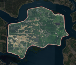 USGS aerial imagery of the Webb Tract | |
 Webb Tract  Webb Tract  Webb Tract | |
| Geography | |
|---|---|
| Location | Northern California |
| Coordinates | 38°04′47″N 121°36′32″W[1] |
| Adjacent bodies of water | Sacramento–San Joaquin River Delta |
| Highest elevation | −13 ft (-4 m)[1] |
| Administration | |
United States | |
| State | |
| County | Contra Costa |
References
- U.S. Geological Survey Geographic Names Information System: Webb Tract
- California State Automobile Association (2007). Coast and Valley: Bay Area to Southern California (Map). 1:560,000. American Automobile Association.
- California State Automobile Association (1999). San Francisco Bay Region (Map). 1:190,000. American Automobile Association.
- "Milder Storm Due For North State; Beleaguered Delta Area Eyes Relief". The Sacramento Bee. Sacramento, California. 1980-02-23. p. 3.
- "New flood threatens East Bay water lines". North East Bay Independent and Gazette. Berkeley, California. 1980-10-23. p. 5.
- "Record tides push Delta to crisis stage". The Tribune. Oakland, California. 1986-02-21. p. 10.
- "Countywide Reclamation Services: Municipal Service Review/Sphere of Influence Update (2nd Round) – FINAL" (PDF). Contra Costa Local Agency Formation Commission. 18 November 2015. Archived (PDF) from the original on 1 March 2017. Retrieved 23 February 2021.
- "Bond Men Visit Phillips Company's Island Holdings". The Evening Mail. Stockton, California. 1913-01-11. p. 6.
- "King Bean In The Ascendency". Stockton Daily Evening Record. Stockton, California. 1913-02-25. p. 7.
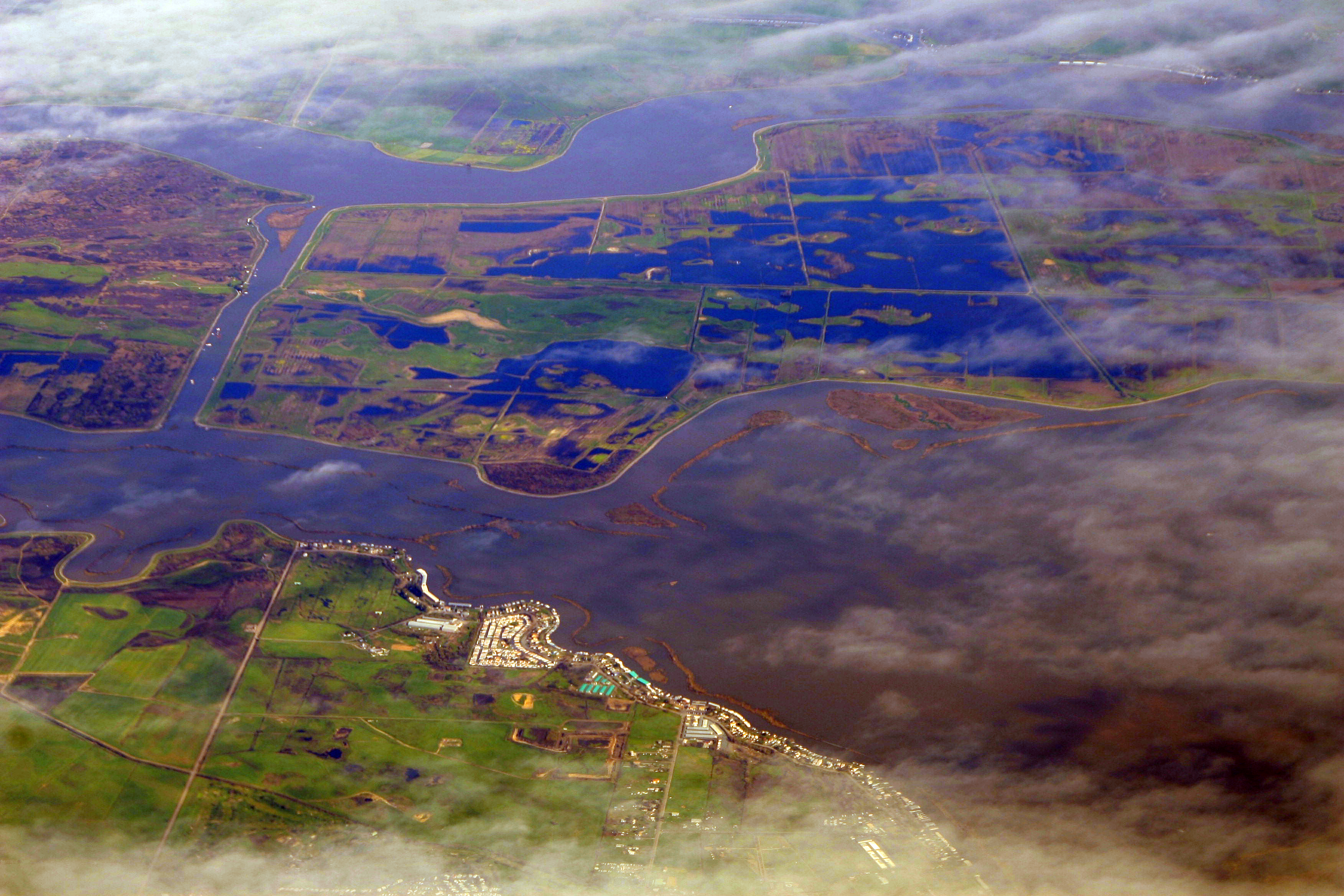
Map: Islands of Suisun Bay and the Sacramento–San Joaquin River Delta | |
|---|---|
 Rough and Ready (islands of the San Francisco Bay Area) |
San Francisco Bay watershed | ||
|---|---|---|
| Outline |
|  |
| Subdivisions |
| |
| Waterways |
| |
| Parks and protected areas |
| |
| Islands and peninsulas |
| |
| Wetlands |
| |
| Bridges and tubes |
| |
| Ferries |
| |
| Ports and marinas |
| |
| Other |
| |
| ||
This Contra Costa County, California–related article is a stub. You can help Wikipedia by expanding it. |
Текст в блоке "Читать" взят с сайта "Википедия" и доступен по лицензии Creative Commons Attribution-ShareAlike; в отдельных случаях могут действовать дополнительные условия.
Другой контент может иметь иную лицензию. Перед использованием материалов сайта WikiSort.org внимательно изучите правила лицензирования конкретных элементов наполнения сайта.
Другой контент может иметь иную лицензию. Перед использованием материалов сайта WikiSort.org внимательно изучите правила лицензирования конкретных элементов наполнения сайта.
2019-2026
WikiSort.org - проект по пересортировке и дополнению контента Википедии
WikiSort.org - проект по пересортировке и дополнению контента Википедии