geo.wikisort.org - Mountains
Hurricane Peak is a 13,447-foot-elevation (4,099 meter) mountain summit located in San Juan County of southwest Colorado, United States.[3] It is situated equidistant between the historic towns of Ouray and Silveton, and is approximately nine miles west of the Continental Divide. It is part of the San Juan Mountains which are a subset of the Rocky Mountains. Topographic relief is significant as the north aspect rises 1,200 feet (365 meters) above Lake Como in one-half mile. Neighbors include Abrams Mountain 3.4 miles to the north, and Red Mountain 2.2 miles to the west. The Mountain Queen Mine, which is located on the east slope of Hurricane Peak at the head of California Gulch, is one of the oldest workings in the area and was most active from 1878 to 1880.[4] The mountain's name, which has been officially adopted by the United States Board on Geographic Names, was in use in 1906 when Henry Gannett published it in the Gazetteer of Colorado.[3][5]
| Hurricane Peak | |
|---|---|
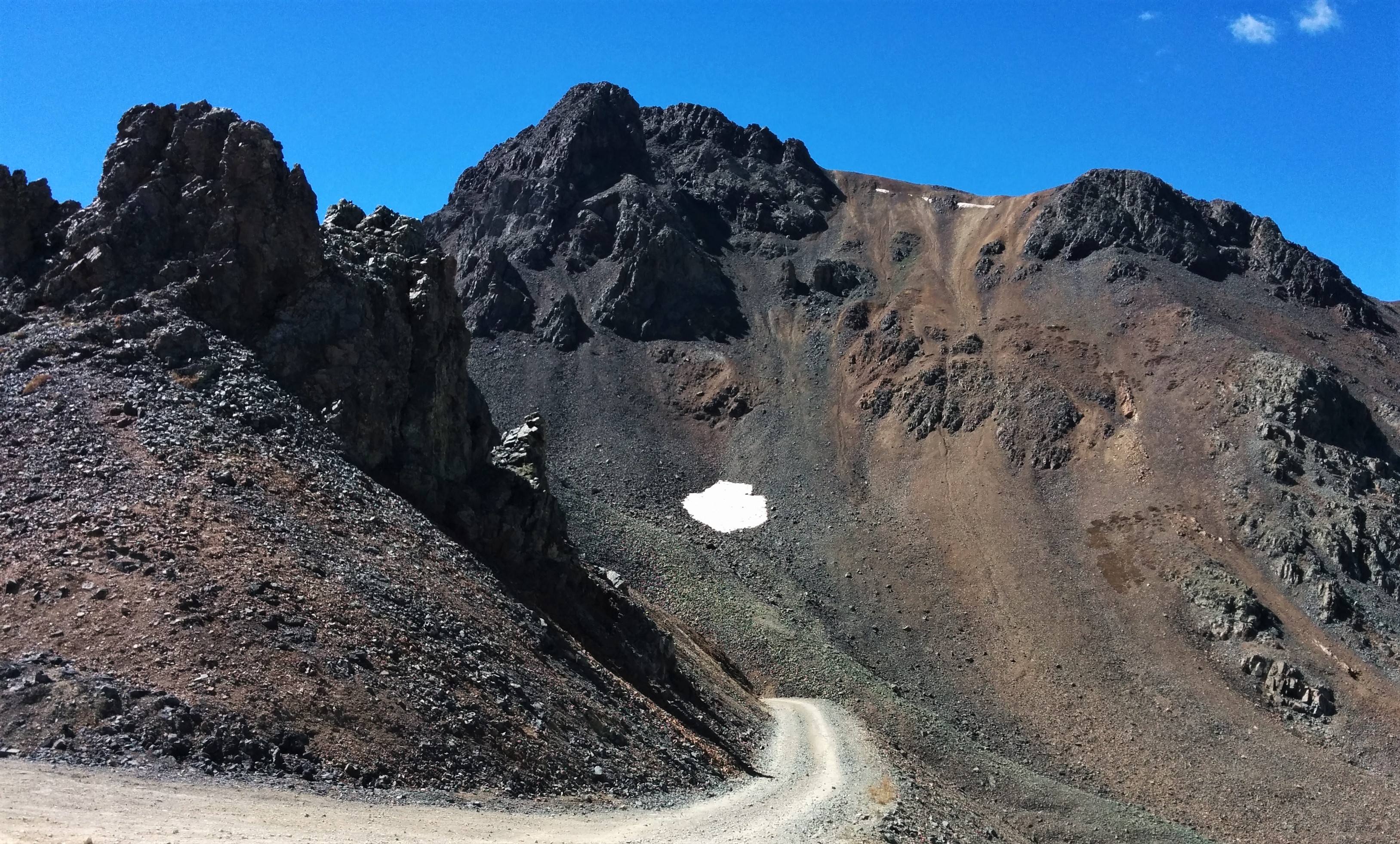 Northeast aspect | |
| Highest point | |
| Elevation | 13,447 ft (4,099 m)[1] |
| Prominence | 247 ft (75 m)[1] |
| Parent peak | Hanson Peak (13,454 ft)[2] |
| Isolation | 0.79 mi (1.27 km)[2] |
| Coordinates | 37°54′53″N 107°37′17″W[3] |
| Geography | |
 Hurricane Peak Location in Colorado  Hurricane Peak Hurricane Peak (the United States) | |
| Location | San Juan County Colorado, US |
| Parent range | Rocky Mountains San Juan Mountains |
| Topo map | USGS Handies Peak |
| Geology | |
| Type of rock | Extrusive rock |
| Climbing | |
| Easiest route | class 2 hiking[2] |
Climate
According to the Köppen climate classification system, Hurricane Peak is located in an alpine subarctic climate zone with cold, snowy winters, and cool to warm summers.[6] Due to its altitude, it receives precipitation all year, as snow in winter, and as thunderstorms in summer, with a dry period in late spring. Precipitation runoff from the mountain drains into tributaries of the Animas and Uncompahgre Rivers.

See also
- Mountains of San Juan County, Colorado
References
- "Hurricane Peak, Colorado". Peakbagger.com.
- "Hurricane Peak - 13,447' CO". listsofjohn.com. Retrieved 2021-07-07.
- "Hurricane Peak". Geographic Names Information System. United States Geological Survey. Retrieved 2021-07-10.
- Frederick Leslie Ransome, Whitman Cross, 1901, A Report on the Economic Geology of the Silverton Quadrangle, Colorado, U.S. Government Printing Office, page 184.
- Henry Gannett, Gazetteer of Colorado, 1906, US Government Printing Office, page 91.
- Peel, M. C.; Finlayson, B. L.; McMahon, T. A. (2007). "Updated world map of the Köppen−Geiger climate classification". Hydrol. Earth Syst. Sci. 11. ISSN 1027-5606.
External links
- Weather forecast: Hurricane Peak
Другой контент может иметь иную лицензию. Перед использованием материалов сайта WikiSort.org внимательно изучите правила лицензирования конкретных элементов наполнения сайта.
WikiSort.org - проект по пересортировке и дополнению контента Википедии