geo.wikisort.org - Sea
The Chilean Sea is the portion of the Pacific Ocean lying west of the Chilean mainland. The official Chilean usage for Chilean Sea was defined on 30 May 1974 when the Diario oficial de la Republica de Chile published Supreme Decree #346, which declared that "the waters surrounding or touching the shores of the national territory shall be known as Mar Chileno."[1]
This article needs additional citations for verification. (February 2013) |
This article may be expanded with text translated from the corresponding article in Spanish. (July 2012) Click [show] for important translation instructions.
|

The Chilean Sea contains significant amounts of phosphorite and manganese-iron nodules, which may be potential targets for future seafloor mining.[2]
Presencial sea
The face sea or heritage safeguard sea is the maritime space that a certain coastal country demarcates, after an oceanopolitical appreciation, in order to indicate to third parties its zone of influence in the high seas adjacent to its exclusive economic zone, where its interests were or could be directly involved.
Without claims of sovereignty, by making a delimitation that includes the effective occupation of the high seas contiguous to its respective oceanic territory, the coastal state shows the interest in preserving said area from abusive uses or from certain activities that, due to its proximity, may affect the marine resources that inhabit its waters, especially, guarding the highly migratory straddling fishery resources from predation, and pollution of the marine habitat.
EEZ of Chile

Chile's EEZ includes areas around the Desventuradas Islands, Easter Island and the Juan Fernández Islands.
| Region | EEZ Area (km2)[3] | Land area | Total |
|---|---|---|---|
| Mainland | 1,975,760 | 755 757 | 2,731,517 |
| Desventuradas | 449 836 | 5 | 449 841 |
| Easter | 720 412 | 164 | 720 576 |
| Juan Fernandez | 502 524 | 100 | 502 624 |
| Total | 3,648,532 | 755 921 | 4,404,453 |
Gallery
 The Ferdinand Magellan's Nao Replica in the Museo Nao Victoria in Punta Arenas Chile, the first ship to sail it
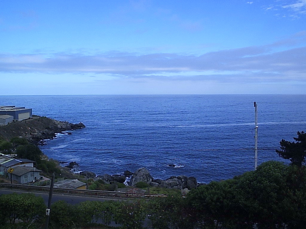
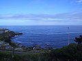 The Chilean Sea
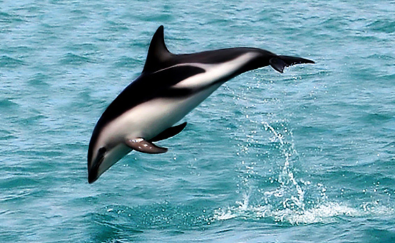
 A dusky dolphin

See also
- Maritime history of Chile
- Insular Chile
- Islands of Chile
- Tricontinental Chile
- Chilean Antarctic Territory
- Geography of Chile
- Chilean–Peruvian maritime dispute
- Pedro Edmunds Paoa
- Pacific Islands Forum
- Easter Island
- Mapuche conflict
- Coordinadora Arauco-Malleco
- Wallmapu
- Patagonia
- Admapu
- Araucanía (historic region)
- Exclusive economic zone of Chile
- Mar presencial
- Mar presencial de Chile
- Mar argentino
- Tesis del mar de resguardo patrimonial de Argentina
- Espacio marítimo argentino
- Mar de Grau
References
- "Decreto 346: "Denomina Mar Chileno a las aguas del mar que bañan el territorio nacional"". Ministry of Foreign Affairs. 4 June 1974. Retrieved 11 December 2012.
- García, Marcelo; Correa, Jorge; Maksaev, Víctor; Townley, Brian (2020). "Potential mineral resources of the Chilean offshore: an overview". Andean Geology. 47 (1): 1–13. doi:10.5027/andgeoV47n1-3260.
- See Around Us Project (n.d.). "Exclusive Economic Zones (EEZ)". Retrieved 3 June 2015.
EEZ waters of: Chile 1,975,760 km², Desventuradas Isl. 449,836 km², Easter Isl. 720,412 km², J. Fernandez, Felix and Ambrosio Isl. 502,524 km²
На других языках
- [en] Chilean Sea
[es] Mar chileno
El mar chileno es el conjunto de los espacios marítimos sobre los que Chile ejerce soberanía, derechos exclusivos y reclamaciones de diverso grado, incluyéndose frecuentemente en esa definición el mar internacional adyacente a los anteriores conocido como mar presencial, sobre el cual Chile no ejerce ni reclama algún grado de soberanía.Другой контент может иметь иную лицензию. Перед использованием материалов сайта WikiSort.org внимательно изучите правила лицензирования конкретных элементов наполнения сайта.
WikiSort.org - проект по пересортировке и дополнению контента Википедии