 The summit of Mount Frissell
 The highest point in Connecticut, on Mount Frissell's south slope
geo.wikisort.org - Mountains
Mount Frissell, 2,454 feet (748 m), which straddles the border of southwest Massachusetts and northwest Connecticut, is a prominent peak of the Taconic Range. Frissel's south slopes include the highest point in Connecticut.
| Mount Frissell | |
|---|---|
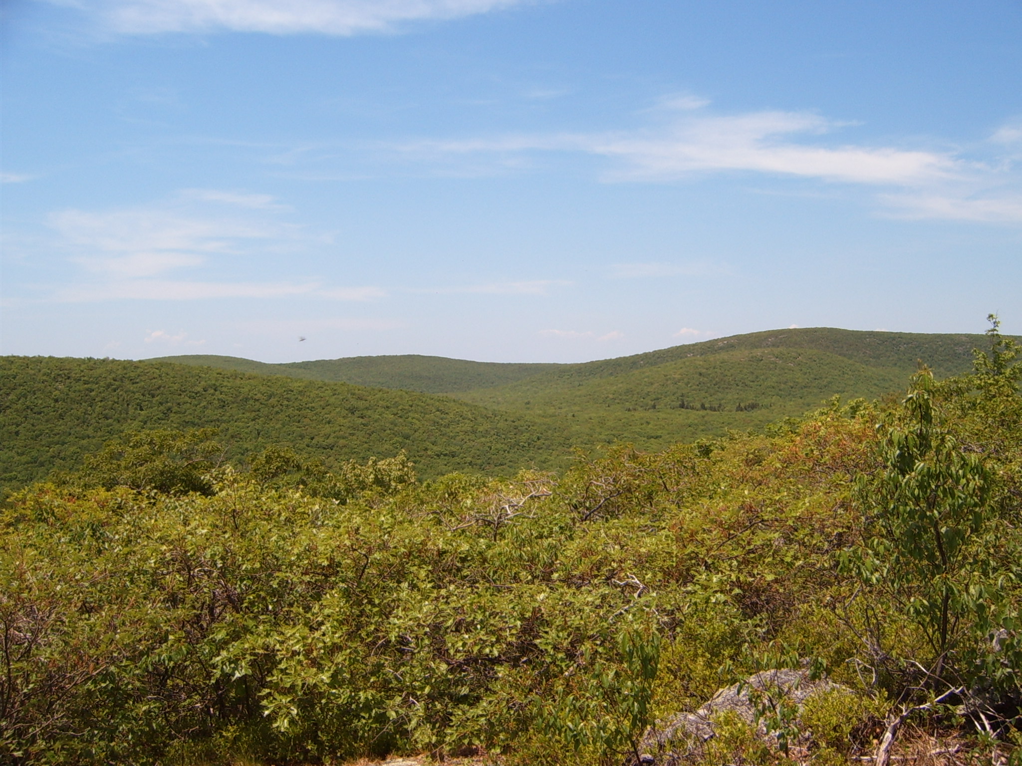 Mount Frissell as seen from Bear Mountain | |
| Highest point | |
| Elevation | 2,454 ft (748 m) NAVD 88[1] |
| Prominence | 781 ft (238 m)[2] |
| Listing | U.S. state high points 36th |
| Coordinates | 42°03′04″N 73°28′55″W[1] |
| Geography | |
 Mount Frissell | |
| Parent range | Taconic Mountains |
| Geology | |
| Age of rock | Ordovician |
| Mountain type | Thrust fault; metamorphic rock and sedimentary rock |
| Climbing | |
| Easiest route | Mount Frissel Trail |
Frissell's summit and the majority of its slopes are within Massachusetts' Mount Washington State Forest and part the town of Mount Washington, Massachusetts. Its southern slopes are in Salisbury, Connecticut. Here the state line reaches to within about 2,379 feet (725 m). The high-point marker for Connecticut is on the border with Massachusetts at 42.049633°N 73.483042°W.[3] (The highest mountain summit in Connecticut is Bear Mountain, about 1.3 miles (2.1 km) to the east-southeast of Mount Frissell.
Mount Frissell is traversed by the Mount Frissell Trail which connects with the South Taconic Trail to the west and the Appalachian Trail to the east.
The south side of Mount Frissell drains into Riga Lake and South Pond, then into Wachocostinook Brook, Salmon Creek, the Housatonic River, and Long Island Sound. The northwest side drains into Ashley Hill Brook, thence Bash Bish Brook, the Roeliff Jansen Kill, the Hudson River, and Upper New York Bay. The northeast side drains into Sages Ravine, thence into Schenob Brook, the Hubbard Brook, the Housatonic River, and Long Island Sound. Mount Frissell is bordered by Round Mountain to the southeast, Mount Ashley to the north, and Brace Mountain to the west.


See also
- Outline of Connecticut
- Index of Connecticut-related articles
- List of U.S. states by elevation
- Mountain peaks of North America
- Mountain peaks of the United States
References
- "Ryant Bush". NGS Data Sheet. National Geodetic Survey, National Oceanic and Atmospheric Administration, United States Department of Commerce. Retrieved 2008-11-28.
- "Mount Frissell, Massachusetts". Peakbagger.com. Retrieved 2008-11-28.
- "Mount Frissell - South Slope, Connecticut/Massachusetts". 2015. Retrieved 2015-06-22.
- "Mount Frissell". Americasroof.com. Archived from the original on 2008-06-04. Retrieved 2008-11-28.
- Charles W. G. Smith, ed. (2004). Massachusetts Trail Guide. AMC Hiking Guide Series. Appalachian Mountain Club. ISBN 1-929173-44-X.
External links
- "Mount Frissell". Geographic Names Information System. United States Geological Survey, United States Department of the Interior. Retrieved 2008-11-28.
- "Mount Frissell". ListsOfJohn.com.
- "Mount Frissell". SummitPost.org.
- Mount Frissell on Peakery.com
- Mount Frissell Guide on Mountainouswords.com
Highest natural points of U.S. states and additional U.S. areas | ||
|---|---|---|
| ||
| Additional U.S. areas |
| |
This Connecticut state location article is a stub. You can help Wikipedia by expanding it. |
This Berkshire County, Massachusetts geography–related article is a stub. You can help Wikipedia by expanding it. |
На других языках
[de] Mount Frissell
Der Mount Frissell ist ein Berg im Gebirge der Appalachen an der Grenze der US-Bundesstaaten Massachusetts und Connecticut, nahe der Grenze zum Bundesstaat New York. Sein Gipfel mit einer Höhe von 748 m befindet sich in Massachusetts.- [en] Mount Frissell
[fr] Mont Frissell
Le mont Frissell est une montagne culminant à 747 m d'altitude dans l'État du Massachusetts aux États-Unis et traversée sur son versant sud par la frontière avec le Connecticut dont il constitue le point culminant avec 725 m d'altitude.[it] Monte Frissell
Il monte Frissell è la vetta più elevata (725 metri) del Connecticut (USA). È situato poco a nord/nord-ovest di Salisbury, nei monti Taconic, nei pressi del confine con il Massachusetts e lo stato di New York.[ru] Фрисселл
Фрисселл (англ. Mount Frissell) — гора, расположенная на границе округов Личфилд (Коннектикут) и Беркшир (Массачусетс) и менее, чем в километре от границы со штатом Нью-Йорк.Текст в блоке "Читать" взят с сайта "Википедия" и доступен по лицензии Creative Commons Attribution-ShareAlike; в отдельных случаях могут действовать дополнительные условия.
Другой контент может иметь иную лицензию. Перед использованием материалов сайта WikiSort.org внимательно изучите правила лицензирования конкретных элементов наполнения сайта.
Другой контент может иметь иную лицензию. Перед использованием материалов сайта WikiSort.org внимательно изучите правила лицензирования конкретных элементов наполнения сайта.
2019-2026
WikiSort.org - проект по пересортировке и дополнению контента Википедии
WikiSort.org - проект по пересортировке и дополнению контента Википедии