geo.wikisort.org - Mountains
Charles Mound[3] is a gentle, 1,235-foot (376 m) high hill located in Scales Mound Township, Jo Daviess County, Illinois, United States. It is 2 miles (3.2 km) northeast of the small town of Scales Mound, and 11 miles (18 km) northeast of Galena. Despite its name, Charles Mound is a naturally occurring, erosional feature and is not to be confused with the intentional mounds created by native cultures. It is the highest natural point in the state and is thus considered a state highpoint. It is the lowest state highpoint in the Midwestern region of the United States.
| Charles Mound | |
|---|---|
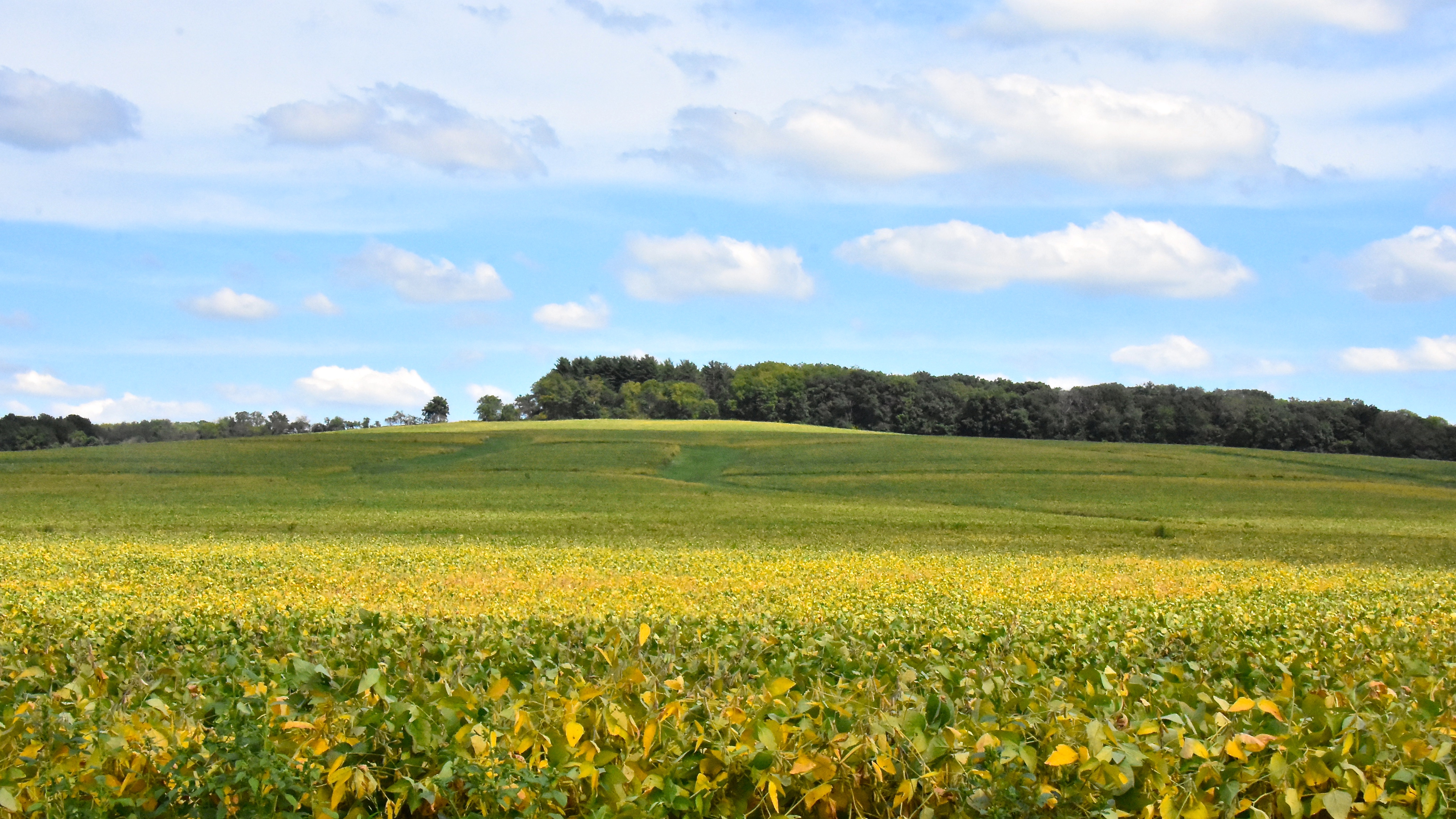 Looking eastward at Charles Mound, the highest point in Illinois from Elizabeth Scales Mound Road, September 2016 | |
| Highest point | |
| Elevation | 1,235 ft (376 m) NAVD 88[1] |
| Prominence | 95 ft (29 m)[2] |
| Listing | U.S. state high points 45th |
| Coordinates | 42°30′14.55931″N 90°14′23.01334″W[1] |
| Geography | |
 Charles Mound Illinois state highpoint | |
| Country | United States |
| State | Illinois |
| County | Jo Daviess |
| Township | Scales Mound |
| Topo map | USGS Shullsburg |
Geography


Charles Mound is the highest natural point in Illinois. (The highest point is the Willis Tower, formerly known as the Sears Tower.) The top of the hill is about 0.25 miles (400 m) from the Wisconsin border. It is within the Driftless Area, a region of Illinois, Iowa, Minnesota, and Wisconsin that was not covered or ground down by the last continental glaciers. The hill itself is an erosional remnant, similar to that on which the original village site of Scales Mound was located. Shallow Elizabeth silt loam soil is on the summit and the surrounding area has deeper silty clay loam of the Lacrescent series.[4]
Settlement
Elijah Charles, one of the region's first permanent settlers, arrived in 1828 and settled at the base of the mound and the hill assumed his name.[5]
Access
Charles Mound is located on rolling farmland. The land owners, Jean and Wayne Wuebbels, allow public access on the first full weekends of the months of June, July, August, and September.[6]
See also
 Geography portal
 Illinois portal
 Mountains portal
- List of U.S. states by elevation
References
- "Charles". NGS Data Sheet. National Geodetic Survey, National Oceanic and Atmospheric Administration, United States Department of Commerce. Retrieved 2008-12-17.
- "Charles Mound, Illinois". Peakbagger.com. Retrieved 2012-10-17.
- U.S. Geological Survey Geographic Names Information System: Charles Mound
- "SoilWeb: An Online Soil Survey Browser | California Soil Resource Lab".
- Mansberger, Floyd (1990-04-02). "Scales Mound Historic District" (PDF). National Register of Historic Places Registration Form. Illinois Historic Preservation Agency. Archived from the original (PDF) on 2008-06-25. Retrieved 2008-12-17.
- "2011 Access Dates for Illinois". The Highpointers Foundation. 2011-02-01. Retrieved 2011-08-20.
External links
- "Charles Mound". Property Information Report. Illinois Geographic Information System. Archived from the original on 2011-07-20. Retrieved 2008-12-17.
- "2003 Highpointers Convention". The Highpointers Foundation. Archived from the original on 2007-03-03. Retrieved 2008-12-17.
Highest natural points of U.S. states and additional U.S. areas | ||
|---|---|---|
| ||
| Additional U.S. areas |
| |
На других языках
[de] Charles Mound
Der 376 Meter hohe Charles Mound ist die höchste natürliche Erhebung des US-Bundesstaates Illinois. Er befindet sich im Jo Daviess County, nur etwa 400 Meter von der Bundesstaatengrenze zu Wisconsin entfernt. Der Hügel ist zur Gänze bewaldet, auf seinem Gipfel steht eine Markierungstafel, welche Auskunft über ihn gibt.- [en] Charles Mound
Другой контент может иметь иную лицензию. Перед использованием материалов сайта WikiSort.org внимательно изучите правила лицензирования конкретных элементов наполнения сайта.
WikiSort.org - проект по пересортировке и дополнению контента Википедии