geo.wikisort.org - Bergen
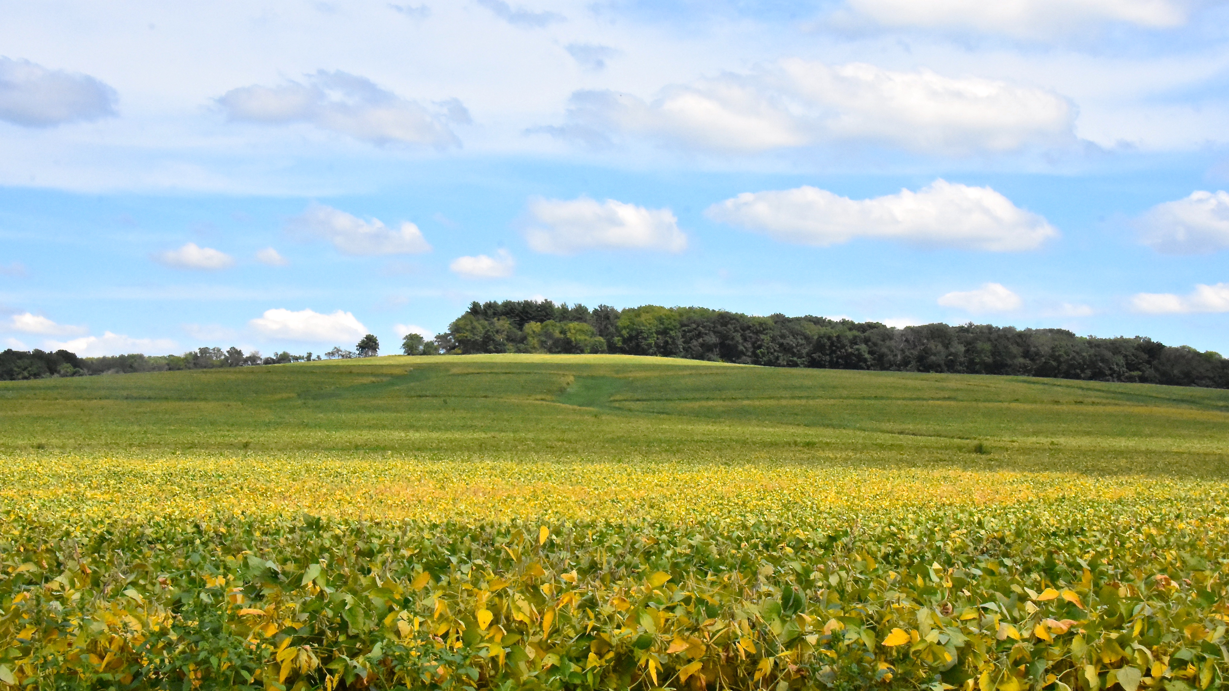
Der 376 Meter hohe Charles Mound ist die höchste natürliche Erhebung des US-Bundesstaates Illinois. Er befindet sich im Jo Daviess County, nur etwa 400 Meter von der Bundesstaatengrenze zu Wisconsin entfernt. Der Hügel ist zur Gänze bewaldet, auf seinem Gipfel steht eine Markierungstafel, welche Auskunft über ihn gibt.
| Charles Mound | ||
|---|---|---|
 | ||
| Höhe | 376 m | |
| Lage | Jo Daviess County, Illinois/Wisconsin, USA | |
| Gebirge | Upper Mississippi Area | |
| Dominanz | 4,02 km → Belmont Mound | |
| Schartenhöhe | 29 m | |
| Koordinaten | 42° 30′ 15″ N, 90° 14′ 23″ W | |
| ||

Weblinks
- Charles Mound auf Peakbagger.com (englisch)
- summitpost.org

Alabama | Alaska | Arizona | Arkansas | Colorado | Connecticut | Delaware | Florida | Georgia | Hawaii | Idaho | Illinois | Indiana | Iowa | Kalifornien | Kansas | Kentucky | Louisiana | Maine | Maryland | Massachusetts | Michigan | Minnesota | Mississippi | Missouri | Montana | Nebraska | Nevada | New Hampshire | New Jersey | New Mexico | New York | North Carolina | North Dakota | Ohio | Oklahoma | Oregon | Pennsylvania | Rhode Island | South Carolina | South Dakota | Tennessee | Texas | Utah | Vermont | Virginia | Washington | West Virginia | Wisconsin | Wyoming
Inselgebiete: Amerikanisch-Samoa | Guam | Minor Outlying Islands | Nördliche Marianen | Puerto Rico | Virgin Islands
Andere Gebiete: District of Columbia
На других языках
- [de] Charles Mound
[en] Charles Mound
Charles Mound[3] is a gentle, 1,235-foot (376 m) high hill located in Scales Mound Township, Jo Daviess County, Illinois, United States. It is 2 miles (3.2 km) northeast of the small town of Scales Mound, and 11 miles (18 km) northeast of Galena. It is the highest natural point in the state; thus, it is considered a highpoint. It is the lowest state highpoint in the Midwestern region of the United States.Другой контент может иметь иную лицензию. Перед использованием материалов сайта WikiSort.org внимательно изучите правила лицензирования конкретных элементов наполнения сайта.
WikiSort.org - проект по пересортировке и дополнению контента Википедии