geo.wikisort.org - River
Torsa River (also spelt Torsha and also known as Kambu Maqu, Machu and Amo Chhu) rises from the Chumbi Valley in Tibet, China, where it is known as Machu. It flows into Bhutan, where it is known as the Amo Chu. Finally it flows in West Bengal in India and Bangladesh, where it is called Torsa. It has a length of 358 kilometres (222 mi) before entering India, of which 113 kilometres (70 mi) are in Tibet and 145 kilometres (90 mi) in Bhutan.[1] It is also known as: Chumbi, Am-Chu, Jaldhaka.[2]
| Torsa River Machu, Amo Chhu | |
|---|---|
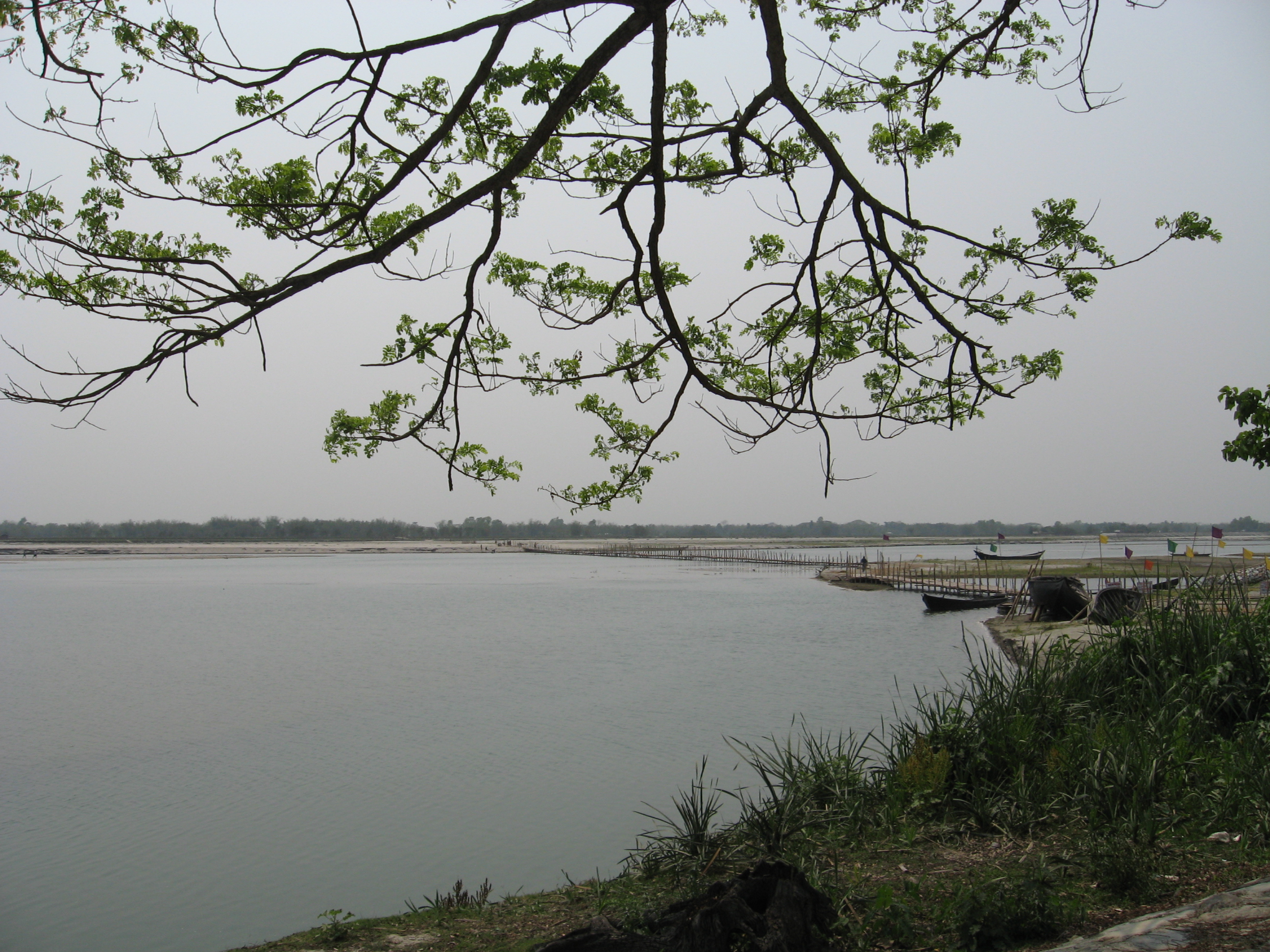 Torsa River near Cooch Behar | |
 | |
| Location | |
| Country | China, Bhutan, India, Bangladesh |
| Cities | Phuntsholing, Jaigaon, Hasimara, Cooch Behar |
| Physical characteristics | |
| Mouth | Brahmaputra River |
| Length | 358 km (222 mi) |
| Basin features | |
| Tributaries | |
| • left | Kaljani |
Afterwards, the river flows past the border towns of Phuntsholing (in Bhutan) and Jaigaon, and Hasimara (in India) and past the great tea estate of Dalsingpara and the Jaldapara National Park. Ghargharia river meets with Torsa in the Tufanganj subdivision, near Deocharai and Balarampur Torsa meets with Kaljani and it then flows into Bangladesh by the name of Kaljani and meets with Brahmaputra in BD. A distributary known as Buri Torsa meets Jaldhaka.
Ghargharia river meets with Torsa in the Tufanganj subdivision, near Deocharai and Balarampur Torsa meets with Kaljani and it then flows into Bangladesh by the name of Kaljani and meets with the Jamuna there.[clarification needed]
Major towns
Major towns on its banks are:
- Phuntsholing, in Bhutan
- Cooch Behar, in India
- Torsa Strict Nature Reserve, upstream in Bhutan
Hydro projects
- Amo chu Hydro Power Project, By NTPC Limited
Floods
River Torsha along with River Jaldhaka, and River Teesta have created major flooding multiple times in Bangladesh during monsoon season between June to September.[3]
References
- Bandopadhyay, Dilip Kumar, Bharater Nadi (Rivers of India), 2002, (in Bengali), p. 78, Bharati Book Stall, 6B Ramanath Mazumdar Street, Kolkata.
- "Torsa River". banglapedia.org. Retrieved May 11, 2022.
- "Several thousand houses inundated in Kurigram". 28 August 2021.
Further reading
- Roy, Suprakash (2011), "Chapter 2. Section 2.1.3 The Torsa basin", Flood hazards in Jalpaiguri district and its management, University of North Bengal, p. 44
На других языках
[de] Torsa
Die Torsa (Bengalisch: .mw-parser-output .Beng{font-size:110%}তোর্সা, Torsā; auch Torsha, in Tibet Machu, in Bhutan Amo Chhu) ist ein 300 km langer Nebenfluss des Brahmaputra, der in Tibet entspringt und durch Bhutan nach Indien (Bundesstaat Westbengalen) und schließlich nach Bangladesch fließt.- [en] Torsa River
[ru] Торса (река)
Торса — река в Китае, Индии, Бангладеш и Бутане общей протяжённостью 358 км, из которых 113 км в Китае и 145 км в Бутане. Является притоком реки Брахмапутра. Берет своё начало в долине Чумби, в Тибете. Река протекает через Бутан в юго-западном направлении.Другой контент может иметь иную лицензию. Перед использованием материалов сайта WikiSort.org внимательно изучите правила лицензирования конкретных элементов наполнения сайта.
WikiSort.org - проект по пересортировке и дополнению контента Википедии