geo.wikisort.org - River
The Rega is a river in north-western Poland, flowing into the Baltic Sea. It is the country's 24th longest river, with a total length of 188 km and a catchment area of 2,767 km2.[1]
| Rega | |
|---|---|
 Rega Basin | |
| Location | |
| Country | Poland |
| Physical characteristics | |
| Source | |
| • location | near Imienko |
| • elevation | 177.5 m (582 ft) |
| Mouth | |
• location | Baltic Sea |
• coordinates | 54.1462°N 15.2854°E |
| Length | 188 km (117 mi) |
| Basin size | 2,767 km2 (1,068 sq mi) |
| Discharge | |
| • average | 21.1 m3/s (750 cu ft/s) |
| Basin features | |
| Progression | West then North |
| Tributaries | |
| • left | Ukleja, Stara Rega (river), Reska Węgorza |
| • right | Mołstowa, Rekowa |
Towns
The following towns are situated on the Rega:
- Świdwin
- Łobez
- Resko
- Płoty
- Gryfice
- Trzebiatów
- Mrzeżyno
Tributaries
The following rivers are tributaries of the Rega:
Images
 Świdwin
 Łobez
Łobez Resko
Resko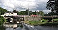 Płoty
Płoty Gryfice
 Trzebiatów
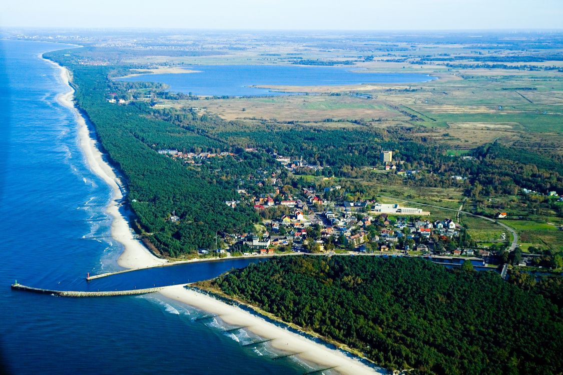
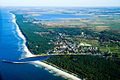 Mrzeżyno - (Baltic Sea)


See also
References
Wikimedia Commons has media related to Rega.
- Statistical Yearbook of the Republic of Poland 2017, Statistics Poland, p. 85-86
Wikimedia Commons has media related to Rega.
| Vistula | |
|---|---|
| Odra | |
| Vistula Lagoon | |
| Baltic Sea | |
Authority control | |
|---|---|
| General |
|
| National libraries | |
На других языках
[de] Rega (Fluss)
Die Rega ist ein 168 Kilometer langer Fluss in der polnischen Woiwodschaft Westpommern. Er entspringt in der Pommerschen Seenplatte und mündet in die Ostsee.- [en] Rega
[es] Río Rega
El río Rega es un río en Polonia, con una longitud de 168 km. Las ciudades más importantes que hallan a su paso son: Łobez, Trzebiatów y Gryfice.[it] Rega (fiume)
Il Rega è un fiume che attraversa la Polonia, ha una lunghezza di 167,8 chilometri.[ru] Рега (река)
Рега (польск. Rega) — река в северо-западной Польше, в Западно-Поморском воеводстве, впадает в Балтийское море.Текст в блоке "Читать" взят с сайта "Википедия" и доступен по лицензии Creative Commons Attribution-ShareAlike; в отдельных случаях могут действовать дополнительные условия.
Другой контент может иметь иную лицензию. Перед использованием материалов сайта WikiSort.org внимательно изучите правила лицензирования конкретных элементов наполнения сайта.
Другой контент может иметь иную лицензию. Перед использованием материалов сайта WikiSort.org внимательно изучите правила лицензирования конкретных элементов наполнения сайта.
2019-2026
WikiSort.org - проект по пересортировке и дополнению контента Википедии
WikiSort.org - проект по пересортировке и дополнению контента Википедии