geo.wikisort.org - River
The Pasłęka (German: Passarge; Lithuanian: Pasargė) is a river in northern Poland that debouches into the Baltic Sea on the Vistula Lagoon near Braniewo. It flows through the Olsztyn and Mrągowo lakelands, and through Gdańsk Coastal Area.
| Pasłęka | |
|---|---|
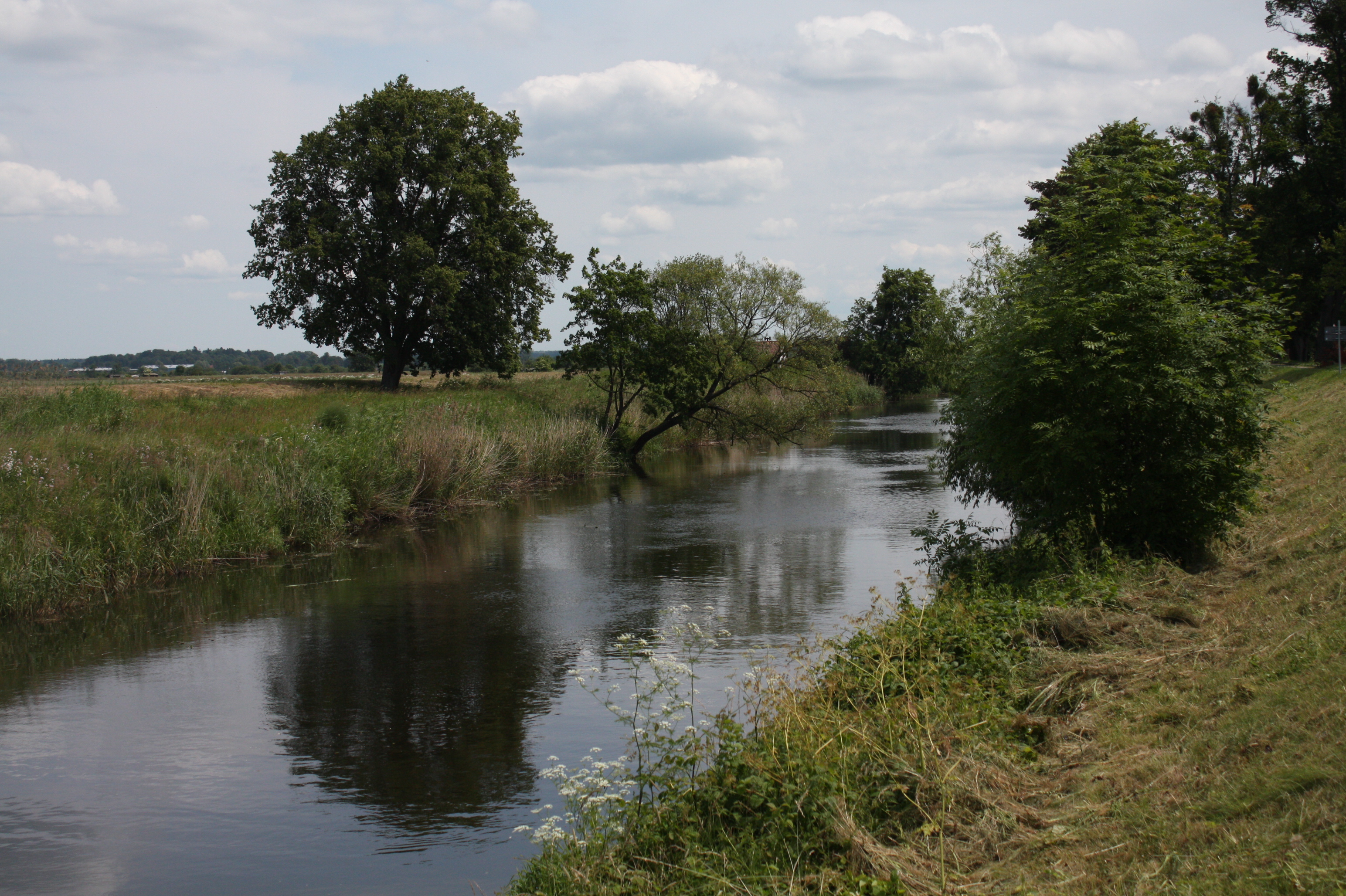 Pasłęka near Braniewo | |
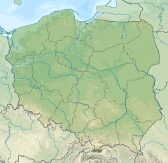 Location of the mouth in Poland | |
| Location | |
| Country | Poland |
| Voivodeship | Warmian-Masurian |
| Physical characteristics | |
| Source | Olsztyn Lakeland |
| • location | near Olsztynek, Poland |
| • coordinates | 53°36′22″N 20°20′14″E |
| • elevation | 156.6 m (514 ft) |
| Mouth | Vistula Lagoon (Baltic Sea) |
• location | by the Ujście settlement near Nowa Pasłęka, Poland |
• coordinates | 54°25′52″N 19°44′47″E |
| Length | 210 km (130 mi) |
| Basin size | 2,295 km2 (886 sq mi) |
| Discharge | |
| • location | mouth |
| • average | 15.7 m3/s (550 cu ft/s) |
The reported length of the river varies, depending on sources, from[1] 169 to 211 kilometres (105 to 131 mi).[2]
The river springs nearby Olsztynek, between Stawiguda and Gryźliny, at 156.6 meters (514 ft) AMSL;[2] though some sources place it in the Pasłęk reservoir, which lies at 153 m (502 ft) AMSL.[2]
The river flows through the town of Braniewo.
The drainage area of Pasłęka spreads over 2,330 square kilometres (900 sq mi).[2]
Pasłęka's average mouth discharge equals 15.7 m3/s (550 cu ft/s).[citation needed]
The whole length of the river is covered by River Pasłęka Beaver Refugium nature reserve.
Pasłęka is one of Warmia's two main rivers, accompanied by Łyna.
Pasłęka divides two historical lands: Warmia and Upper Prussia (Powiśle), consequently for centuries bordering Polish Warmia and the Polish fiefdoms of the Teutonic Order and Ducal Prussia.[2]
In the 2007 water quality survey conducted on Pasłęka 2 kilometers (1.2 mi) from its mouth, its water was classified as the 4th class.[3]
The historic Polish name Pasłęka was officially confirmed following World War II in 1949, replacing the former German name Passarge.[4]
Infrastructure
Pasłęka is sailable between its mouth in Nowa Pasłęka and the hydro plant in Braniewo. Several hydro plants are built on the river:
- Braniewo - power: 0,815 MVA
- Pierzchały - power: 3,3 MVA, built in 1936
- Stygajny - planned at the site of the unfinished German weir [citation needed]
- 'Kormoran' in Łęgucki Młyn
- Kasztanowo. installed power of 0,1 MW, rebuilt after a complete destruction and reopened in 1989.
Tributaries
- Rivers: Stara Pasłęka, Wałsza p., Giłwa, Jemiołówka, Marąg, Miłakówka.
- Streams: Bardynka, Biebrza, Drwęca Warmińska p., Lipówka, Łaźnica p., Młynówka, Młyńska Struga
- Canals: Kanał Rusy, Kanał Skolity, Kanał Energetyczny
Pasłęka crosses the following lakes: Wymój, Sarąg, Łęguty, Isąg.
See also
- Rivers of Poland
References
- Darmochwał T., Rumiński M. J., 1996. Warmia Mazury, przewodnik. Agencja TD, Białystok
- Endler, Zbigniew; Koźlik, Monika; Miałdun, Jerzy (2003). "Krajobraz ekologiczny górnego biegu Pasłęki" (in Polish). pp. 22–23. czasopismo: Aura.
- Delegatura WIOŚ w Elblągu. "Tabela 14. Ocena jakości wód rzek badanych w 2007 roku" (PDF) (in Polish). WIOŚ Olsztyn. Retrieved 2009-11-23.
- Monitor Polski. 17/1949. Page 3, position 225, p. 3. http://isap.sejm.gov.pl/DetailsServlet?id=WMP19490170225
| Vistula | |
|---|---|
| Odra | |
| Vistula Lagoon | |
| Baltic Sea | |
| Authority control |
|
|---|
На других языках
[de] Pasłęka
Die Pasłęka ([.mw-parser-output .IPA a{text-decoration:none}pasˈwɛŋka], deutsch: Passarge) ist ein Fluss in der polnischen Woiwodschaft Ermland-Masuren.- [en] Pasłęka
[it] Pasłęka
Il Pasłęka è un fiume che attraversa la Polonia, ha una lunghezza di 169 chilometri.[ru] Пасленка
Пасленка (польск. Pasłęka; нем. Passarge) — река в Польше. Протяжённость реки составляет до 210 километров; впадает в Балтийское море. Площадь бассейна 2295 км².Другой контент может иметь иную лицензию. Перед использованием материалов сайта WikiSort.org внимательно изучите правила лицензирования конкретных элементов наполнения сайта.
WikiSort.org - проект по пересортировке и дополнению контента Википедии