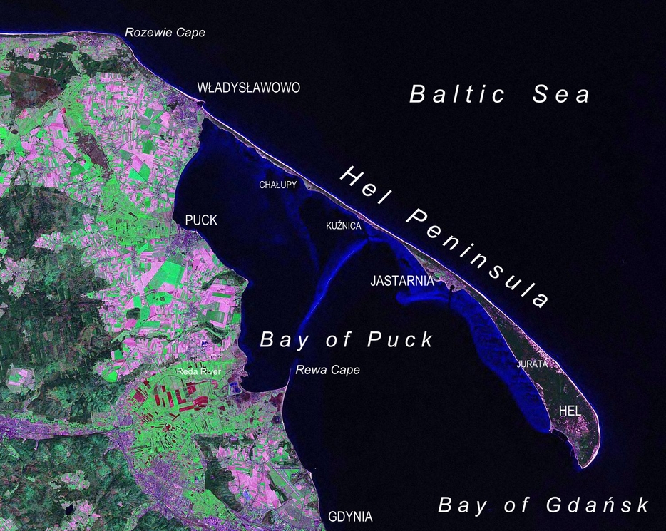
Hel Peninsula (listen(help·info); Polish: Mierzeja Helska, Półwysep Helski; Kashubian: Hélskô Sztremlëzna; German: Halbinsel Hela or Putziger Nehrung) is a 35-kilometre-long (22mi) sand bar peninsula in northern Poland separating the Bay of Puck from the open Baltic Sea. It is located in Puck County of the Pomeranian Voivodeship.
Sand bar peninsula in northern Poland
Peninsula in Pomeranian Voivodeship, Poland
Hel
Peninsula
Hel Peninsula as seen from Landsat satellite in 2000
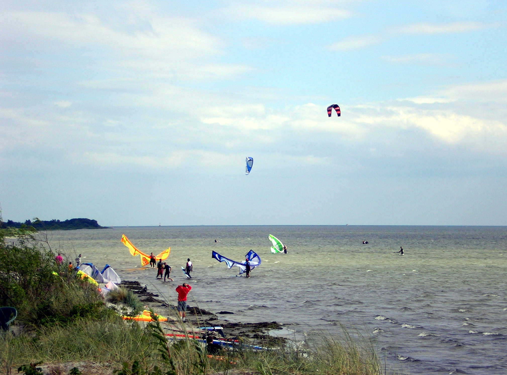
Hel Peninsula as seen from the tallest building in WładysławowoWooden house from circa 1850, now a restaurantKitesurfing, Hel PeninsulaSeal at the Oceanography Institute
Name
The name of the peninsula might come from either the Old Polish word hyl/hel, meaning "empty or exposed place," or the Germanic word heel, which is derived from the form of the peninsula and the fact that the area was first settled by the Goths, an East Germanic tribe.[1]
Geography
The width of the peninsula varies from approximately 300 metres (980ft) near Jurata to 100 metres (330ft) in the most narrow part to over 3 kilometres (1.9mi) at the tip. Since the peninsula was formed entirely of sand, it is frequently turned into an island by winter storms. Until the 17th century, the peninsula was a chain of islands that formed a strip of land only in the summer.
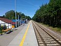
A road and a railroad run along the peninsula from the mainland to the town at the furthest point, Hel, a popular tourist destination. Other towns, ports, and tourist resorts are Jurata, Jastarnia, Kuźnica, Chałupy, and Władysławowo.
Bus transport on peninsula consists of only one route, the 666.[2][3]
Military importance
The Hel (German: Hela) Peninsula was part of Prussia and then Germany from 1772 to 1919. After the peninsula became part of the Second Polish Republic after World War I, it acquired considerable military significance (Polish Corridor) and was turned into a fortified region, with a garrison of about 3,000. In the course of the Battle of Hel in 1939, Polish forces dynamited the peninsula at one point and turned it into an island.
During the years of German occupation of Poland (1939–1945), Hel's defenses were further expanded, and a battery of three 40.6 cm SK C/34 gun was constructed, but the guns were soon moved to the Atlantic Wall in occupied France. Hel peninsula remained in German hands until the end of World War II, when the defending forces surrendered on 14 May 1945, six days after Germany capitulated.
After the war, when the peninsula again became part of Poland, it continued to have military significance, with much of its area reserved for military use. Additional gun batteries were built in the 1940s and the 1950s. Many of the fortifications and batteries are open to tourists today, but some areas of the peninsula still belong to the Polish Armed Forces.
Другой контент может иметь иную лицензию. Перед использованием материалов сайта WikiSort.org внимательно изучите правила лицензирования конкретных элементов наполнения сайта.
2019-2026 WikiSort.org - проект по пересортировке и дополнению контента Википедии


 Jastarnia