geo.wikisort.org - River
The Alma (Ukrainian: Альма; Russian: Альма, Crimean Tatar: Alma) is a small river in Crimea that flows from the Crimean Mountains in a broadly west-north-west direction to the Black Sea. Its mouth lies just south of Pishchane, halfway between Yevpatoria and Sevastopol. Alma is the Crimean Tatar word for an "apple".
| Alma | |
|---|---|
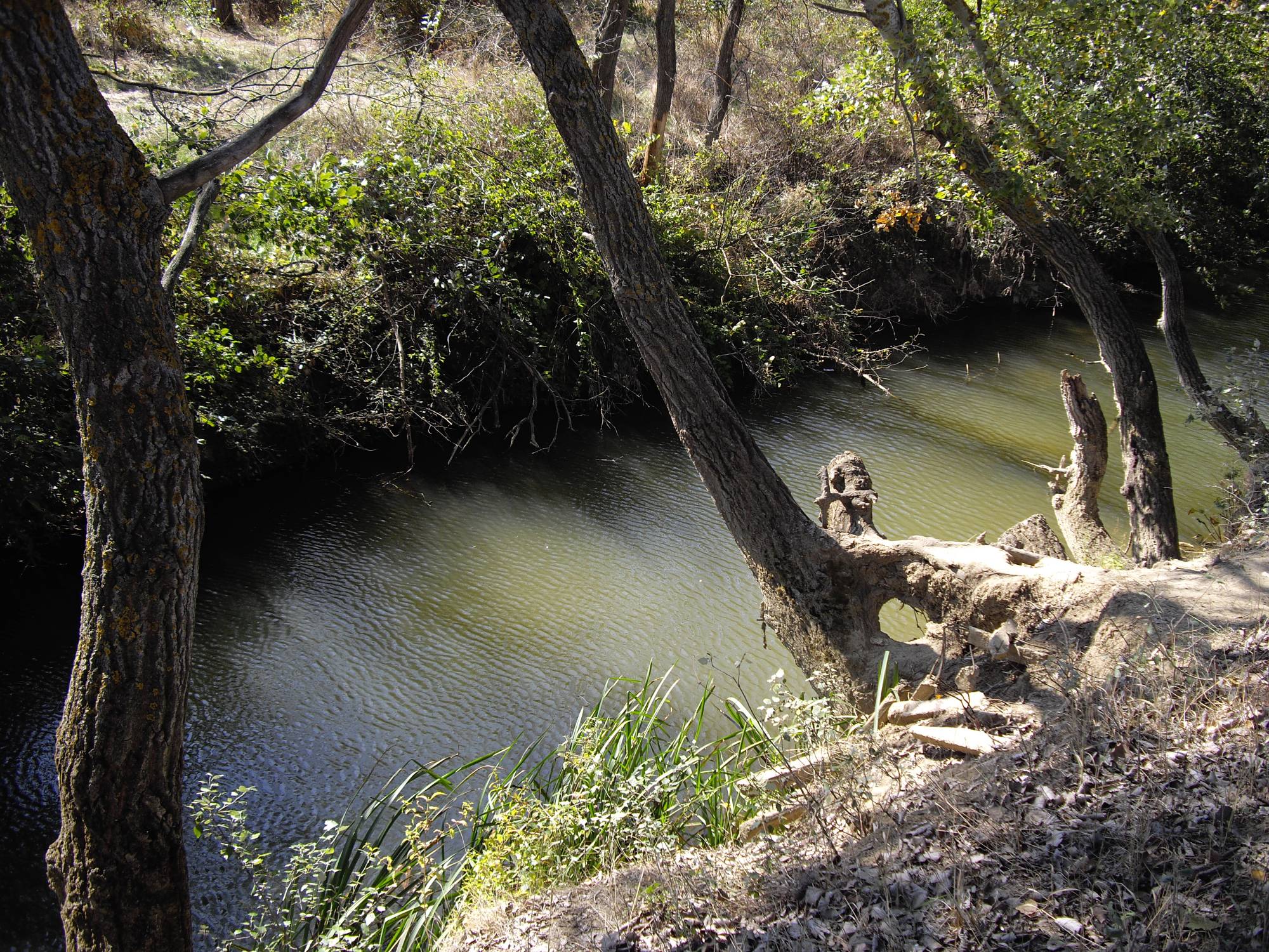 Alma river near memorial of Battle of Alma | |
| Native name | Альма (Ukrainian) |
| Location | |
| Country | Crimea |
| Physical characteristics | |
| Source | |
| • location | Babuğan Yayla, Crimean Mountains |
| Mouth | |
• location | Kalamita bay of the Black Sea |
| Length | 83 km (52 mi) |
Geography
The Alma, formed by the confluence of the Sary-su, the Savlykh-su and the Babuganka (Babuğan Yayla) rivers, flows mostly through the mountains.[1] The Alminskoye and Partizanskoye storage reservoirs are located along its course.[1]
History
During the Crimean War of 1853–1856, in the Battle of the Alma near the lower reaches of the Alma river, the allied British, French, and Ottoman armies defeated the Russians under Prince Aleksandr Sergeevich Menshikov on 20 September 1854.[2]
References
- Grinevetsky, Sergei R.; et al., eds. (2014). "Alma". The Black Sea Encyclopedia. Berlin: Springer. p. 38. ISBN 978-3-642-55226-7.
- Callary, Edward (29 September 2008). Place Names of Illinois. University of Illinois Press. p. 6. ISBN 978-0-252-09070-7.
External links
| Authority control: National libraries |
|---|
| Black Sea | |
|---|---|
| Bug | |
| Danube | |
| Dnieper (Rapids) | |
| Dniester | |
| Don | |
| Prypiat | |
| San | |
| Sea of Azov | |
| Southern Bug | |
| Syvash |
|
This article about a location in Crimea is a stub. You can help Wikipedia by expanding it. |
На других языках
[de] Alma (Fluss)
Die Alma (ukrainisch und russisch Альма, Алма) ist ein Fluss auf der Krim.- [en] Alma (Crimea)
[es] Río Almá (Crimea)
El río Almá (en ucraniano y ruso, Альма; en tártaro de Crimea, Almá) es un pequeño río costero de Rusia (reclamado por Ucrania) que, tras discurrir por la república de Crimea, desemboca en el mar Negro. Su desembocadura está a medio camino entre Eupatoria y Sebastopol. Almá es la palabra en tártaro de Crimea para "manzana". Cerca del río Almá los ejércitos aliados británicos, franceses y otomanos derrotaron a los rusos a las órdenes del príncipe Aleksandr Serguéyevich Ménshikov el 20 de septiembre de 1854, en la Batalla del río Almá, aunque por fin fueron los rusos quienes se impusieron ocupando y anexionándose Crimea, situación que se ha perpetuado hasta nuestros días. [1][it] Alma (fiume della Crimea)
L'Alma (in russo e ucraino: Альма) è un fiume della Crimea, in Ucraina, lungo 83 chilometri, che sfocia nel Mar Nero. Nonostante la sua scarsa lunghezza e portata, riveste una notevole importanza dal punto di vista storico poiché vi si tenne la battaglia dell'Alma, durante la guerra di Crimea: qui il 20 settembre 1854 le truppe anglo-francesi batterono i russi comandati dal principe Menikov.Другой контент может иметь иную лицензию. Перед использованием материалов сайта WikiSort.org внимательно изучите правила лицензирования конкретных элементов наполнения сайта.
WikiSort.org - проект по пересортировке и дополнению контента Википедии